Himalchuli things to do, attractions, restaurants, events info and trip planning
Basic Info
Himalchuli
Sirdibas, Nepal
4.2(37)
Save
spot
spot
Ratings & Description
Info
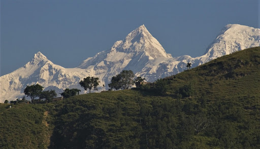
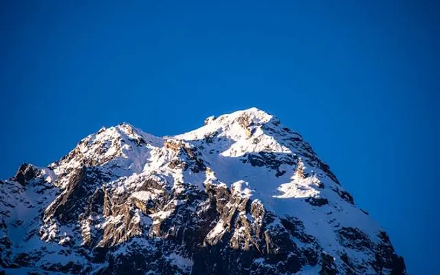
Himalchuli is the second-highest mountain in the Mansiri Himal, part of the Nepalese Himalayas, and the 18th-highest mountain in the world. It lies south of Manaslu, one of the eight-thousanders. Himalchuli has three main peaks: East, West and North.
Outdoor
Adventure
Scenic
Off the beaten path
attractions: , restaurants: , local businesses:
Plan your stay

Pet-friendly Hotels in Chum Nubri
Find a cozy hotel nearby and make it a full experience.

Affordable Hotels in Chum Nubri
Find a cozy hotel nearby and make it a full experience.

The Coolest Hotels You Haven't Heard Of (Yet)
Find a cozy hotel nearby and make it a full experience.

Trending Stays Worth the Hype in Chum Nubri
Find a cozy hotel nearby and make it a full experience.