Ama Dablam things to do, attractions, restaurants, events info and trip planning

Basic Info
Ama Dablam
Khumjung 56000, Nepal
4.8(114)
Save
spot
spot
Ratings & Description
Info
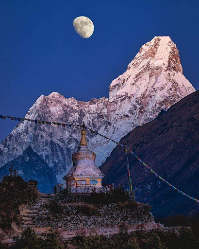
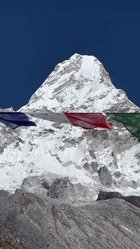
Ama Dablam is a mountain in the eastern Himalayan range of Koshi Province, Nepal. The main peak is 6,812 metres, the lower western peak is 6,170 metres.
Outdoor
Adventure
Scenic
Off the beaten path
attractions: , restaurants: , local businesses:
Plan your stay

Pet-friendly Hotels in Khumbupasanglahmu
Find a cozy hotel nearby and make it a full experience.

Affordable Hotels in Khumbupasanglahmu
Find a cozy hotel nearby and make it a full experience.

The Coolest Hotels You Haven't Heard Of (Yet)
Find a cozy hotel nearby and make it a full experience.

Trending Stays Worth the Hype in Khumbupasanglahmu
Find a cozy hotel nearby and make it a full experience.