Lamjung Himal: Nepal’s Southeastern Annapurna Peak
-----------------Introduction---------------
Himalayan peak in the Annapurna range, Gandaki Province, central Nepal.
Highest peak: Lamjung Himal (6,983 m), also known as Lamjing Kailas, first climbed in 1974 by Derrick Chamberlain and Phillip Neame.
Located southeast of Annapurna II, within the Annapurna Conservation Area.
A subpeak of Annapurna II, offering a challenging mountaineering and trekking experience.
-----------Geographical Features--------------
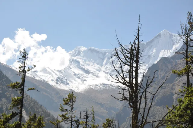
Elevation: 6,983 m; Annapurna range spans 1,500–8,000 m.
Features steep snowfields, rocky ridges, and glaciers, with a prominence of 661 m.
Positioned 8.24 km southeast of Annapurna II (7,937 m), near the Manang Valley.
Rugged, icy terrain with a 3.9 km base width, requiring technical climbing skills.
-----------Tourism and Activities----------------
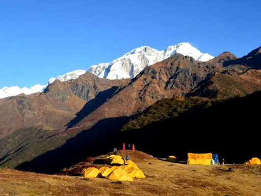
Mountaineering: Technical ascent via the East Ridge, first climbed in 1974.
Trekking: Annapurna Circuit or routes via Chame (7–10 days) to approach base camp.
Appeals to climbers seeking a less crowded 6,000 m peak with Annapurna views.
Nearby Kajin Sara Lake trek (5,020 m) offers scenic detours for trekkers.
---------Socio-Cultural Significance-----------
Gurung and Tamang communities in the Lamjung district, blending Hindu and Buddhist traditions.
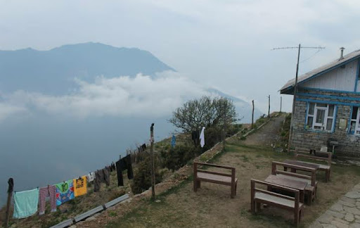
Cultural highlights: Besisahar’s local markets, Manang’s monasteries.
Tourism supports Annapurna Conservation Area Project (ACAP) and local economies.
Respect sacred peaks like Machhapuchhre and local customs (e.g., modest dress).
---------Climate Change Impact---------
Glacial retreat in the Annapurna range affects water sources and climbing routes.
Warming threatens biodiversity, including Himalayan tahr and snow leopards.
ACAP promotes sustainable tourism, but faces funding and waste management issues.
Monsoon-driven landslides and avalanches increase risks on trails.
--------How to Get There------------
By Air: Fly from Kathmandu to Pokhara (30 min).
By Road: Drive from Pokhara to Besisahar (4–5 hrs), then jeep to Chame (5–6 hrs).
Trekking: Chame to Lamjung Himal Base Camp (5–7 days) via the Annapurna Circuit.
Permits: ACAP entry permit (NPR 3,000 for foreigners); TIMS card...
Read more