Kala Chitta Range things to do, attractions, restaurants, events info and trip planning
Basic Info
Kala Chitta Range
Pakistan
4.6(22)
Save
spot
spot
Ratings & Description
Info
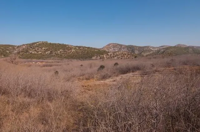
Kala Chitta Range is a mountain range in the Attock District of Punjab, Pakistan. Kala- Chitta are Punjabi words meaning Kala the Black and Chitta means white. The range thrusts eastward across the Potohar plateau towards Rawalpindi.
Outdoor
Adventure
Scenic
attractions: , restaurants: , local businesses:
Plan your stay

Pet-friendly Hotels in Attock Tehsil
Find a cozy hotel nearby and make it a full experience.

Affordable Hotels in Attock Tehsil
Find a cozy hotel nearby and make it a full experience.

The Coolest Hotels You Haven't Heard Of (Yet)
Find a cozy hotel nearby and make it a full experience.

Trending Stays Worth the Hype in Attock Tehsil
Find a cozy hotel nearby and make it a full experience.


