Burzil Pass things to do, attractions, restaurants, events info and trip planning
Basic Info
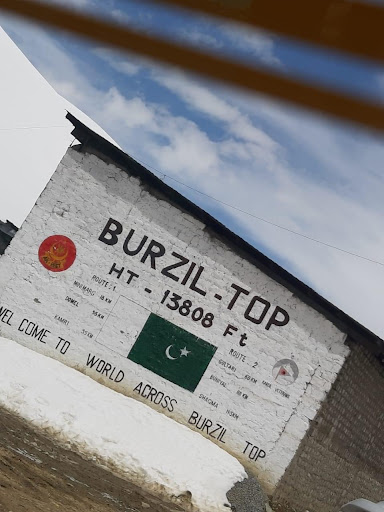
Burzil Pass
4.7(92)
Save
spot
spot
Ratings & Description
Info
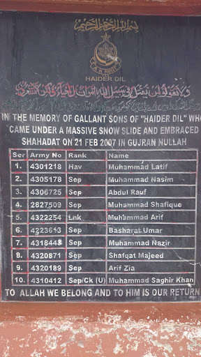
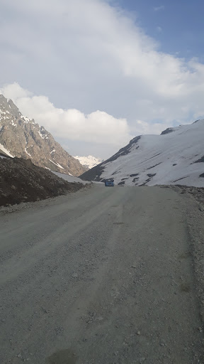
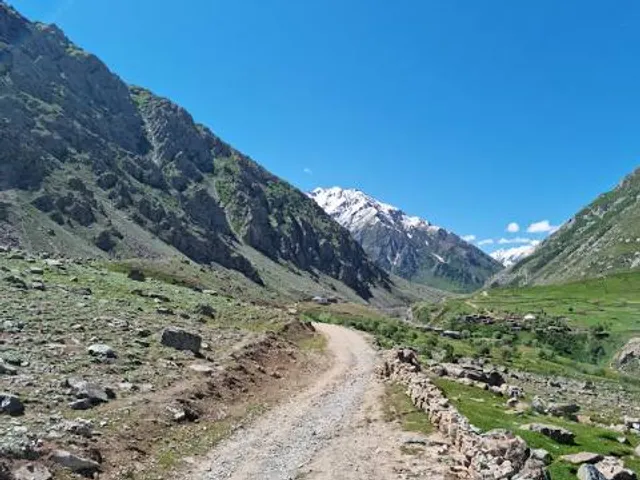
The Burzil Pass is an ancient mountain pass in northern Pakistan, and is part of the historic caravan route between the cities of Srinagar and Gilgit.
attractions: , restaurants: , local businesses:
Plan your stay

Pet-friendly Hotels in Gilgit-Baltistan
Find a cozy hotel nearby and make it a full experience.

Affordable Hotels in Gilgit-Baltistan
Find a cozy hotel nearby and make it a full experience.

The Coolest Hotels You Haven't Heard Of (Yet)
Find a cozy hotel nearby and make it a full experience.

Trending Stays Worth the Hype in Gilgit-Baltistan
Find a cozy hotel nearby and make it a full experience.