El Mirador Del Pianista things to do, attractions, restaurants, events info and trip planning
Basic Info
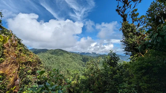
El Mirador Del Pianista
RHPG+C3J, Boquete, Chiriquí Province, Panama
3.0(52)
Save
spot
spot
Ratings & Description
Info
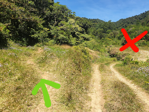
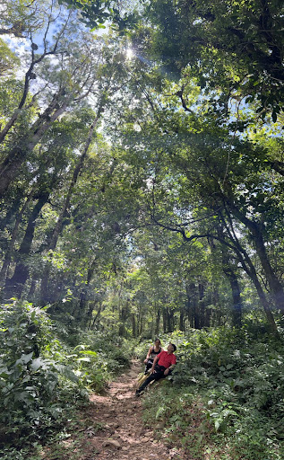
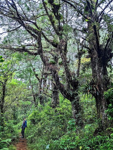
Outdoor
Scenic
Adventure
Off the beaten path
attractions: , restaurants: , local businesses:
Plan your stay

Pet-friendly Hotels in Bocas del Toro
Find a cozy hotel nearby and make it a full experience.

Affordable Hotels in Bocas del Toro
Find a cozy hotel nearby and make it a full experience.

The Coolest Hotels You Haven't Heard Of (Yet)
Find a cozy hotel nearby and make it a full experience.

Trending Stays Worth the Hype in Bocas del Toro
Find a cozy hotel nearby and make it a full experience.
Reviews
Live events
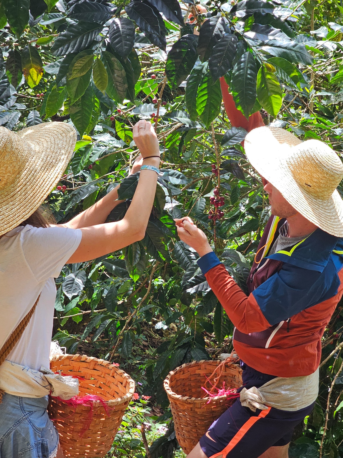
Ancestral Coffee Experience in Boquete
Sun, Feb 8 • 9:00 AM
Boquete, Chiriquí Province, Panama
View details
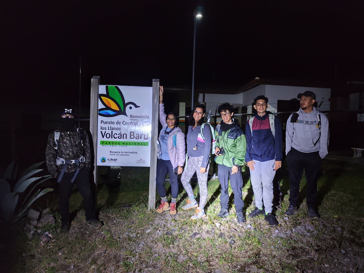
Highest point in Panama Volcan Baru
Sun, Feb 8 • 12:00 AM
Nueva California, Provincia de Chiriquí, Panama
View details