Viševnik things to do, attractions, restaurants, events info and trip planning
Basic Info
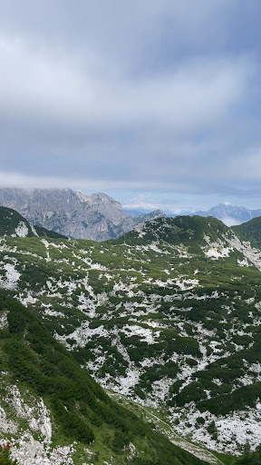
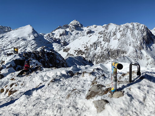
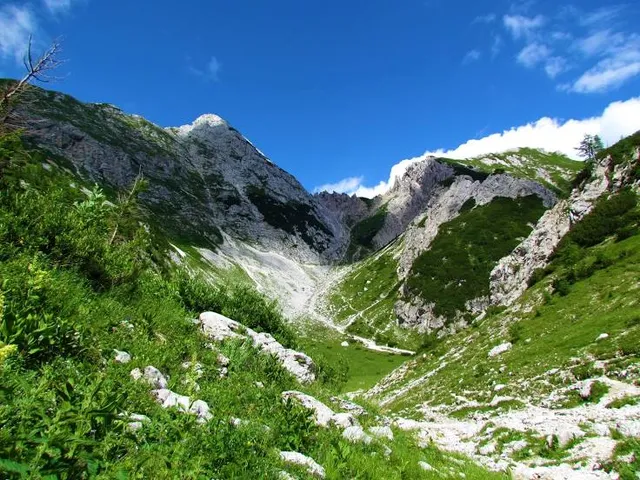
Viševnik
4267 Srednja vas v Bohinju, Slovenia
4.9(103)
Save
spot
spot
Ratings & Description
Info
Outdoor
Adventure
Scenic
attractions: , restaurants: , local businesses: Mali Draški vrh
Plan your stay

Pet-friendly Hotels in Bohinj
Find a cozy hotel nearby and make it a full experience.

Affordable Hotels in Bohinj
Find a cozy hotel nearby and make it a full experience.

The Coolest Hotels You Haven't Heard Of (Yet)
Find a cozy hotel nearby and make it a full experience.

Trending Stays Worth the Hype in Bohinj
Find a cozy hotel nearby and make it a full experience.
Reviews
Live events
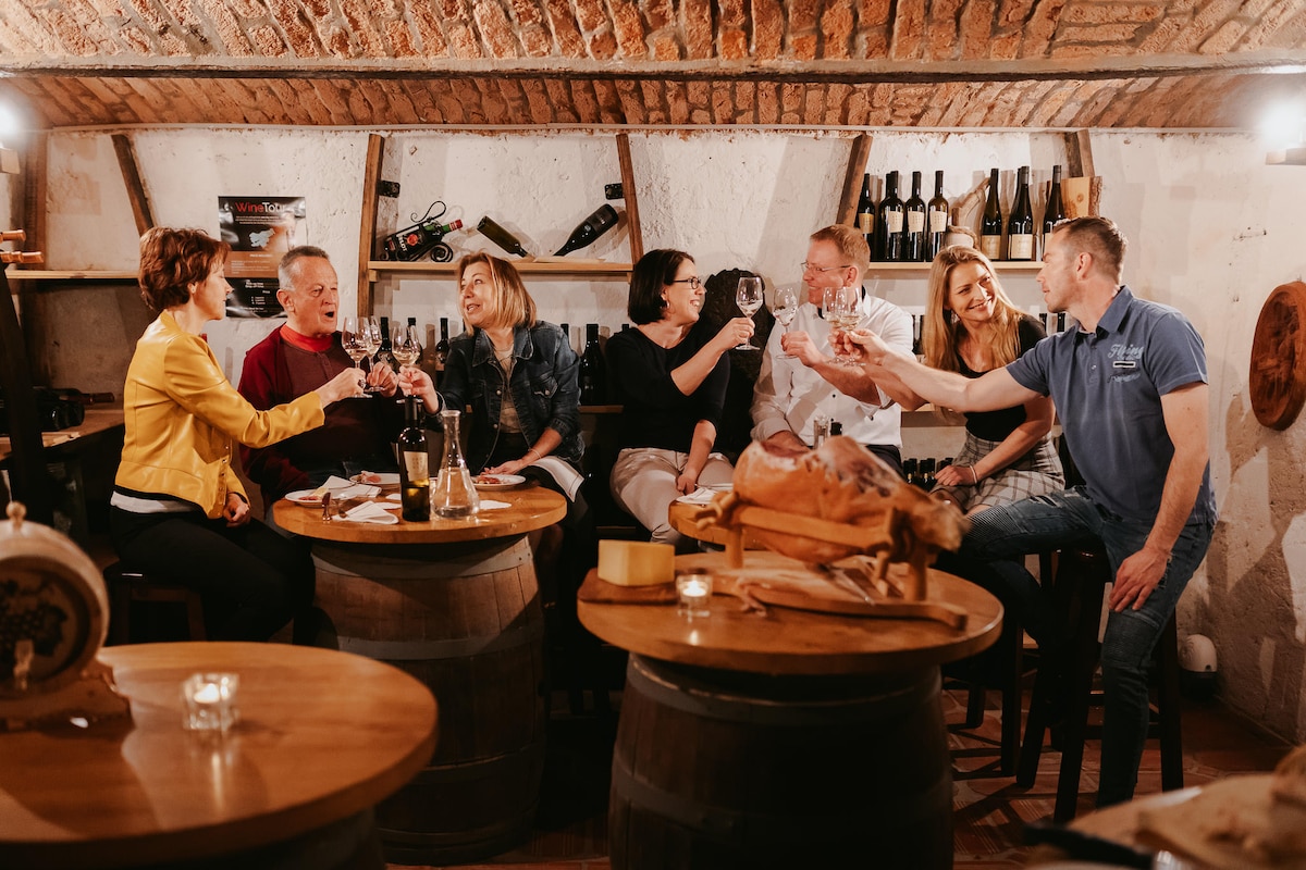
Taste boutique wines with a local
Tue, Feb 10 • 8:30 PM
4260, Bled, Slovenia
View details

METER - PARTY
Thu, Feb 12 • 9:00 PM
Bruno-Kreisky-Straße 33 im V-Center Villach 9500 Villach
View details
Nearby local services of Viševnik
Mali Draški vrh

Mali Draški vrh
4.5
(15)
Click for details