Seweweekspoortpiek things to do, attractions, restaurants, events info and trip planning
Basic Info
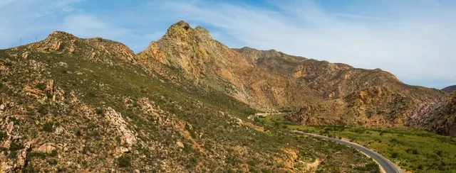
Seweweekspoortpiek
South Africa
4.9(12)
Save
spot
spot
Ratings & Description
Info
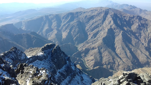
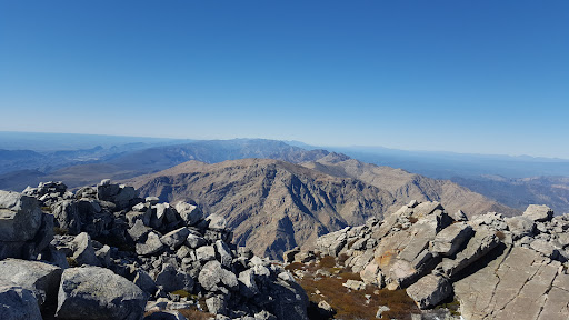
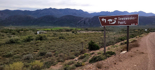
Seweweekspoortpiek is a peak in the Western Cape, South Africa. It is the highest mountain in the Cape Fold Belt and the highest point in the Western Cape province. Along with its western neighbour, Du Toits Peak, it qualifies as an Ultra and these are the only two in the country.
Outdoor
Adventure
Scenic
attractions: , restaurants: , local businesses:
Plan your stay

Pet-friendly Hotels in Laingsburg Local Municipality
Find a cozy hotel nearby and make it a full experience.

Affordable Hotels in Laingsburg Local Municipality
Find a cozy hotel nearby and make it a full experience.

The Coolest Hotels You Haven't Heard Of (Yet)
Find a cozy hotel nearby and make it a full experience.

Trending Stays Worth the Hype in Laingsburg Local Municipality
Find a cozy hotel nearby and make it a full experience.