Montseny Massif things to do, attractions, restaurants, events info and trip planning
Basic Info
Montseny Massif
08469, Barcelona, Spain
4.7(173)
Save
spot
spot
Ratings & Description
Info
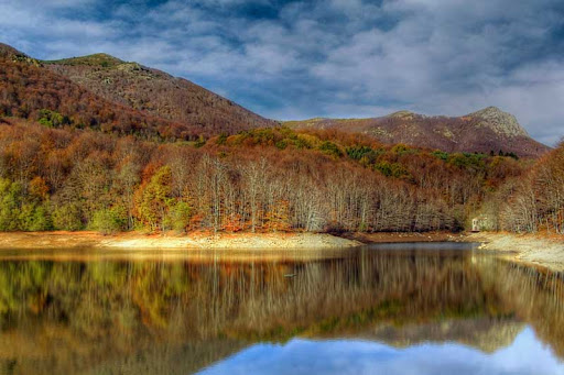
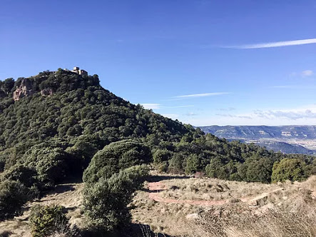
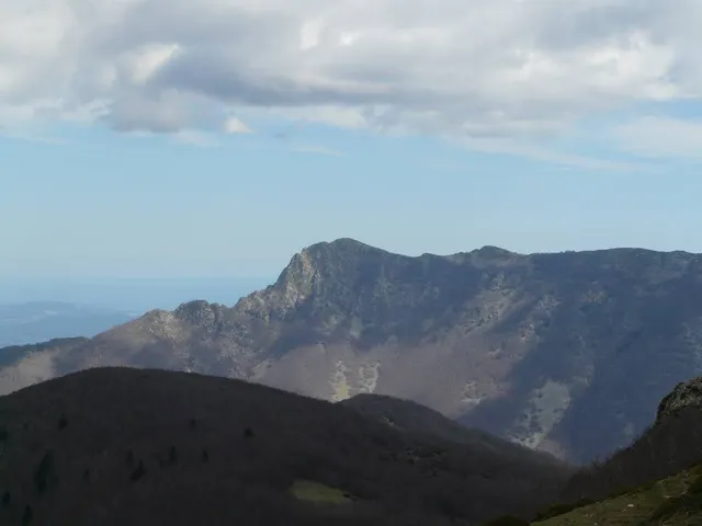
Montseny is a mountain range west of the coastal hills north of Barcelona. It is part of the Catalan Pre-Coastal Range.
Outdoor
Adventure
Scenic
Family friendly
Pet friendly
Off the beaten path
attractions: , restaurants: , local businesses:
Plan your stay

Pet-friendly Hotels in Montseny
Find a cozy hotel nearby and make it a full experience.

Affordable Hotels in Montseny
Find a cozy hotel nearby and make it a full experience.

The Coolest Hotels You Haven't Heard Of (Yet)
Find a cozy hotel nearby and make it a full experience.

Trending Stays Worth the Hype in Montseny
Find a cozy hotel nearby and make it a full experience.
Reviews
Live events

La Roca Village Shopping Express: Viaje de ida y vuelta desde Barcelona
Thu, Feb 12 • 9:00 AM
La Roca Village, s , Santa Agnès de Malanyanes (La Roca del Vallès), Barcelona, 08430
View details

Playbox VR: Realidad Virtual en Grupo
Thu, Feb 12 • 10:00 AM
Carrer Princesa, 50, Granollers, 08401
View details
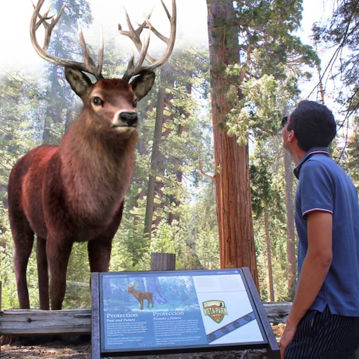
Meta Park Zoo
Fri, Feb 13 • 5:00 PM
Carrer dels Esquirols, 1, Riells i Viabrea, 17404
View details