Mulhacén things to do, attractions, restaurants, events info and trip planning
Basic Info
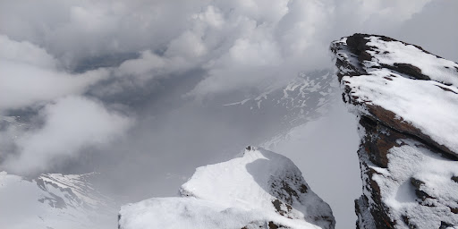
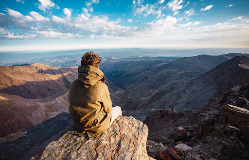
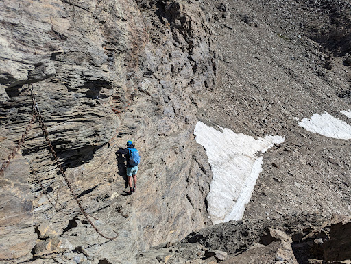
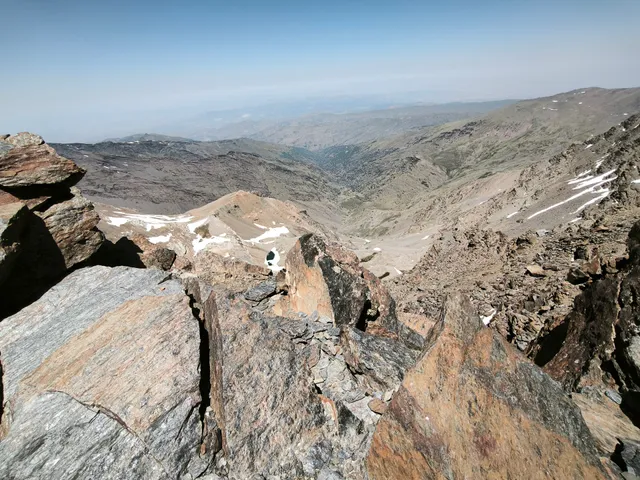
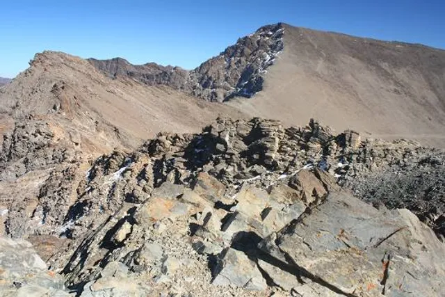
Mulhacén
18417, Granada, Spain
4.8(361)
Save
spot
spot
Ratings & Description
Info
Outdoor
Adventure
Scenic
Off the beaten path
attractions: , restaurants: , local businesses: Mulhacén
Plan your stay

Pet-friendly Hotels in Trevélez
Find a cozy hotel nearby and make it a full experience.

Affordable Hotels in Trevélez
Find a cozy hotel nearby and make it a full experience.

The Coolest Hotels You Haven't Heard Of (Yet)
Find a cozy hotel nearby and make it a full experience.

Trending Stays Worth the Hype in Trevélez
Find a cozy hotel nearby and make it a full experience.
Reviews
Live events
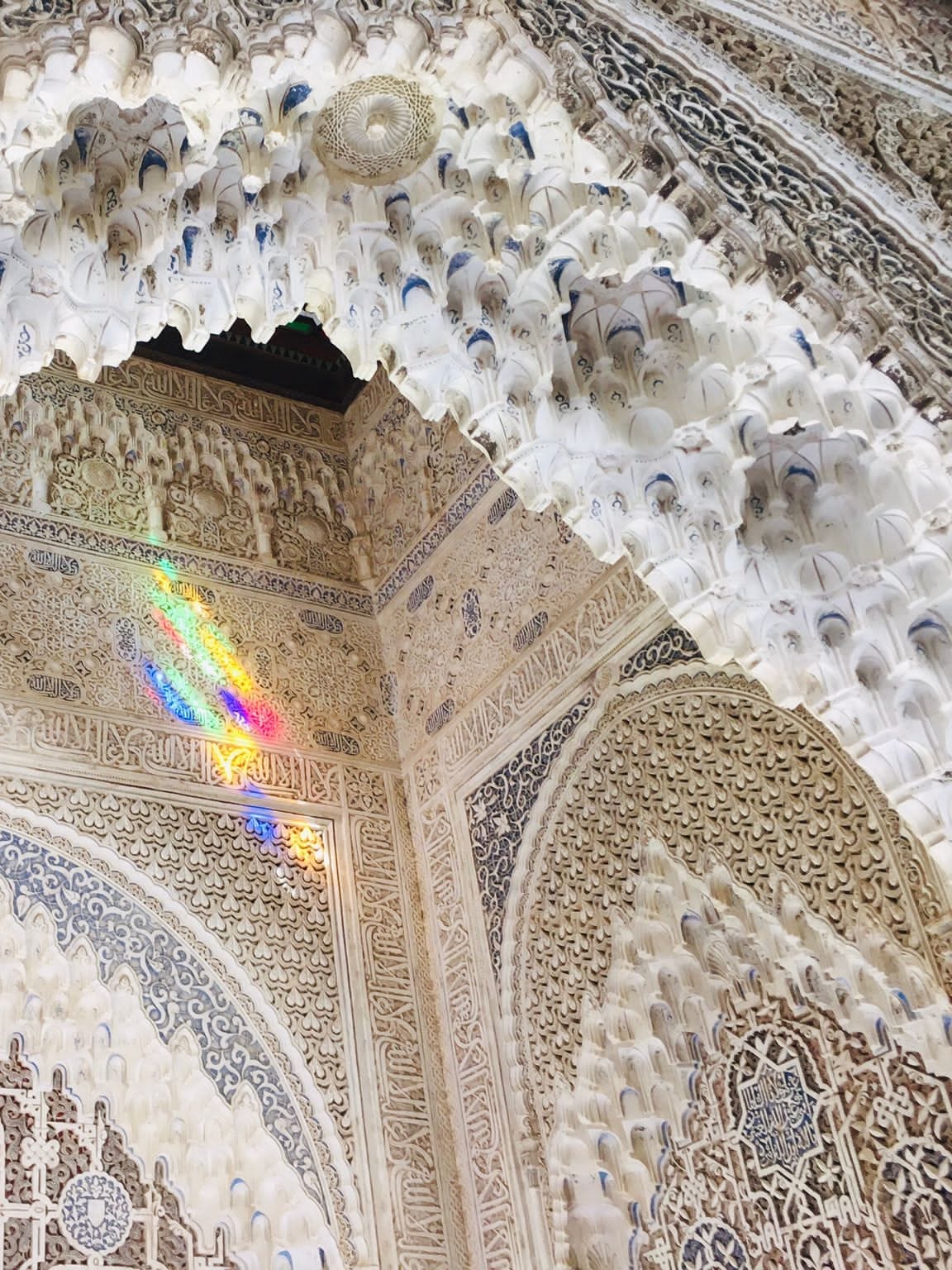
Alhambra Tour with an Energetic Storyteller
Sun, Feb 15 • 9:00 AM
18009, Granada, Andalusia, Spain
View details

Private Sierra Nevada Ski Class - 2h Beginners
Sat, Feb 14 • 10:00 AM
18196, Sierra Nevada, Andalucía, Spain
View details
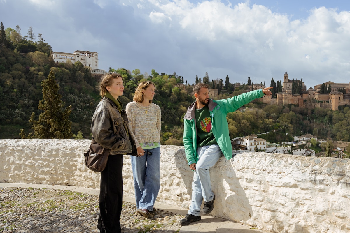
Tour the Albaicín and Sacromonte
Mon, Feb 16 • 4:00 PM
18010, Granada, Andalusia, Spain
View details
Nearby local services of Mulhacén
Mulhacén
Mulhacén
4.8
(304)
Click for details