Spitzmeilen things to do, attractions, restaurants, events info and trip planning
Basic Info
Spitzmeilen
8897 Flums, Switzerland
4.8(17)
Save
spot
spot
Ratings & Description
Info
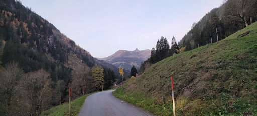
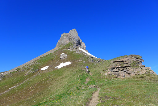
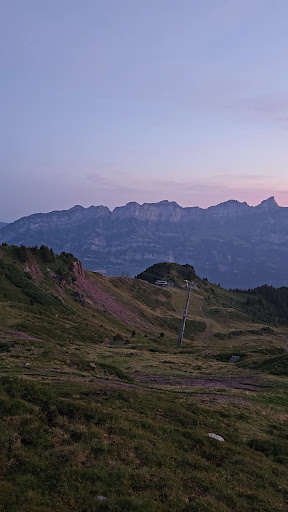
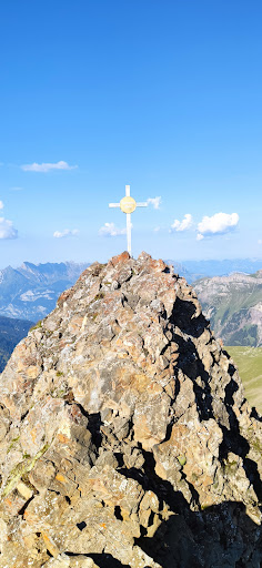
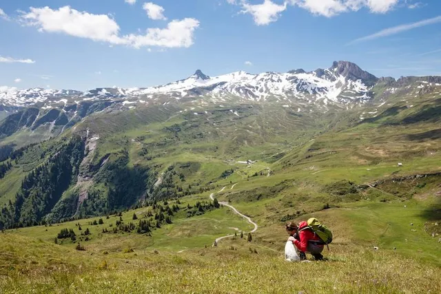
The Spitzmeilen is a mountain of the Glarus Alps, lying on the border between the Swiss cantons of Glarus and St. Gallen. It lies between the valleys of Schilstal and Sernftal.
Outdoor
Adventure
Scenic
Off the beaten path
attractions: , restaurants: , local businesses:
Plan your stay

Pet-friendly Hotels in Flums
Find a cozy hotel nearby and make it a full experience.

Affordable Hotels in Flums
Find a cozy hotel nearby and make it a full experience.

The Coolest Hotels You Haven't Heard Of (Yet)
Find a cozy hotel nearby and make it a full experience.

Trending Stays Worth the Hype in Flums
Find a cozy hotel nearby and make it a full experience.