Lenzerhorn things to do, attractions, restaurants, events info and trip planning
Basic Info
Lenzerhorn
7083 Lantsch/Lenz, Switzerland
4.7(41)
Save
spot
spot
Ratings & Description
Info
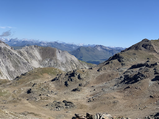
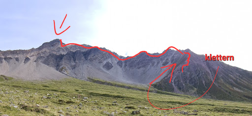
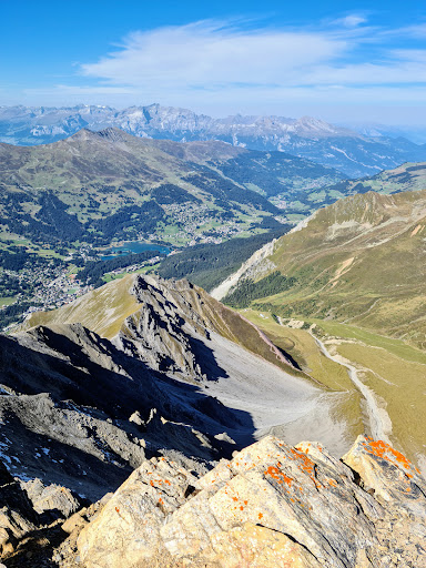
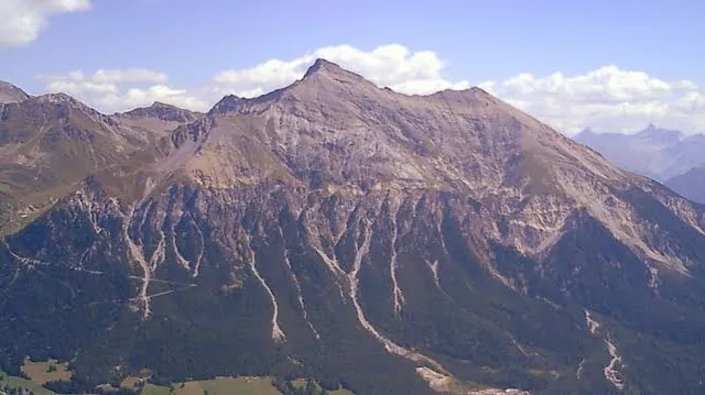
The Lenzerhorn is a mountain of the Plessur Alps, located east of Lenzerheide in the canton of Graubünden. It has an elevation of 2,906 metres and is, after the Aroser Rothorn, the second highest peak of the Plessur Alps.
Outdoor
Adventure
Scenic
attractions: , restaurants: , local businesses:
Plan your stay

Pet-friendly Hotels in Lantsch/Lenz
Find a cozy hotel nearby and make it a full experience.

Affordable Hotels in Lantsch/Lenz
Find a cozy hotel nearby and make it a full experience.

The Coolest Hotels You Haven't Heard Of (Yet)
Find a cozy hotel nearby and make it a full experience.

Trending Stays Worth the Hype in Lantsch/Lenz
Find a cozy hotel nearby and make it a full experience.
Reviews
Live events

Go paragliding over Davos with experienced guides
Tue, Feb 10 • 10:00 AM
7270, Davos Platz, Switzerland
View details
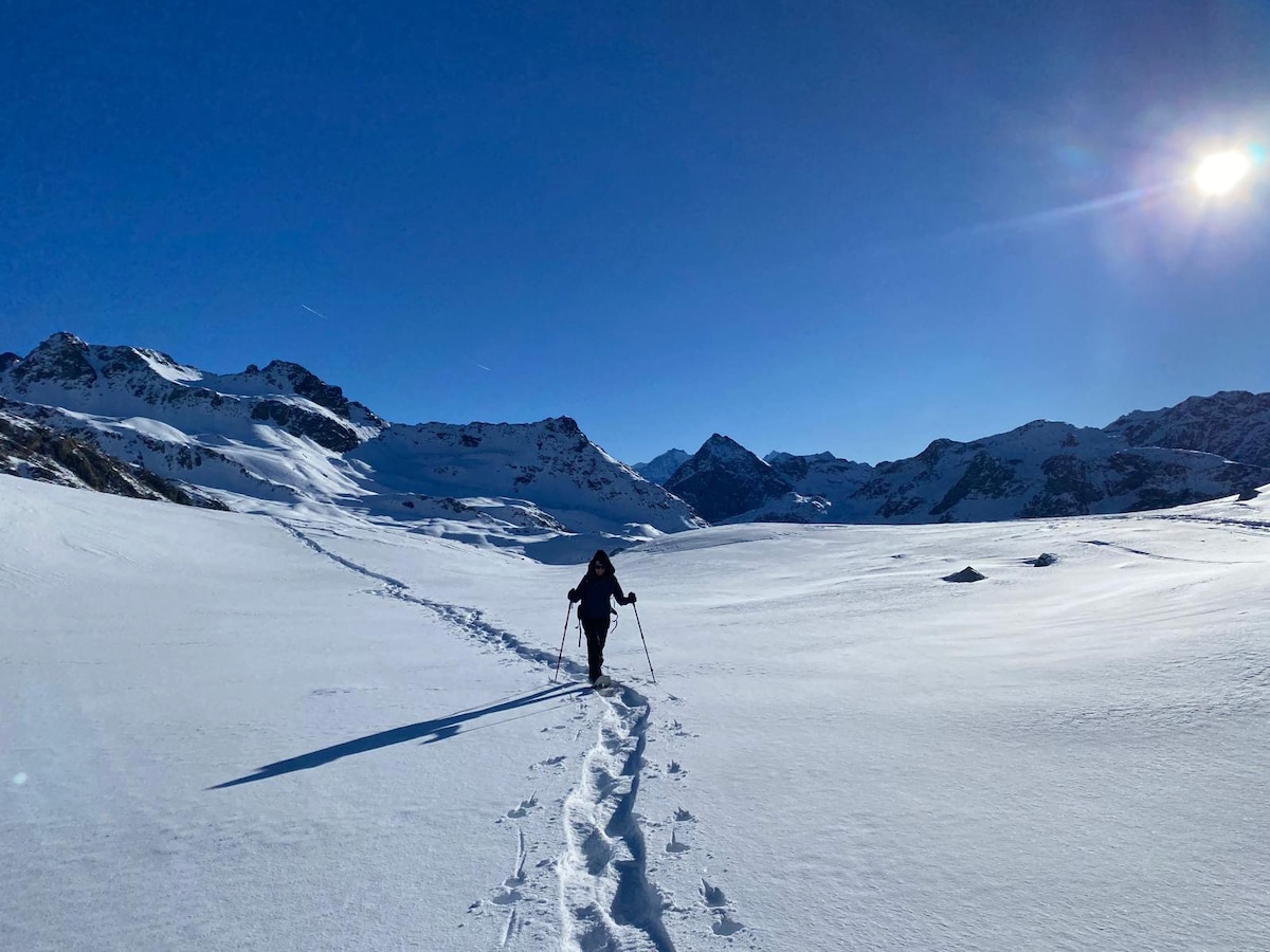
Snowshoeing at the Julierpass
Tue, Feb 10 • 9:00 AM
7457, Surses, Switzerland
View details

WINTER EVENT
Fri, Feb 13 • 5:00 AM
10 Plazza da Scoula 7500 Sankt Moritz
View details