Grosser Mythen things to do, attractions, restaurants, events info and trip planning
Basic Info
Grosser Mythen
6430 Schwyz, Switzerland
4.9(233)
Save
spot
spot
Ratings & Description
Info
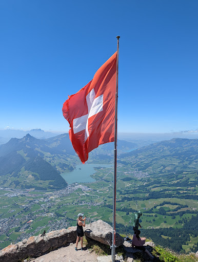
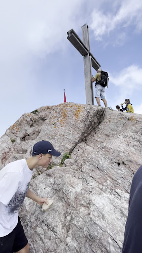
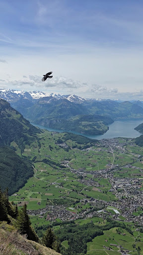
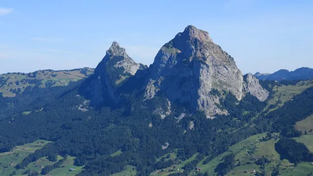
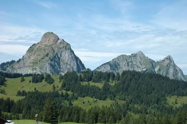
The Grosser Mythen is a mountain in the Schwyzer Alps of Central Switzerland. The mountain lies in the canton of Schwyz, to the east of the town of Schwyz, and to the south of the village of Alpthal in the valley of the river Alp.
Outdoor
Adventure
Scenic
Off the beaten path
attractions: , restaurants: , local businesses: Mythen
Plan your stay

Pet-friendly Hotels in Schwyz
Find a cozy hotel nearby and make it a full experience.

Affordable Hotels in Schwyz
Find a cozy hotel nearby and make it a full experience.

The Coolest Hotels You Haven't Heard Of (Yet)
Find a cozy hotel nearby and make it a full experience.

Trending Stays Worth the Hype in Schwyz
Find a cozy hotel nearby and make it a full experience.
Reviews
Live events
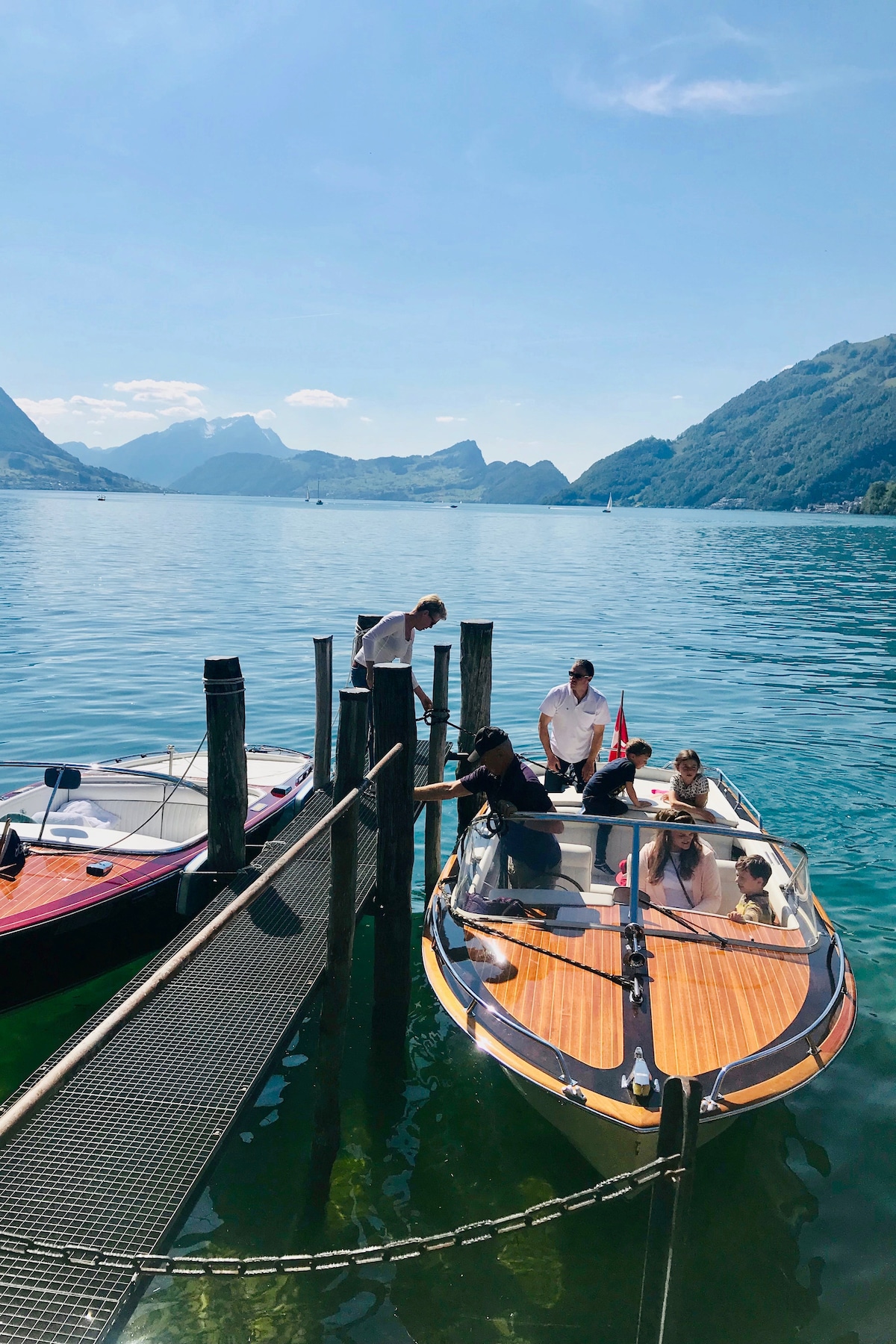
A fjord-like lake, boat ride, cheese
Sun, Jan 25 • 5:00 PM
6006, Lucerne, Switzerland
View details

Candlelight: Das Beste von Ludovico Einaudi
Sun, Jan 25 • 6:00 PM
Oberseestrasse 36, Rapperswil-Jona, 8640
View details
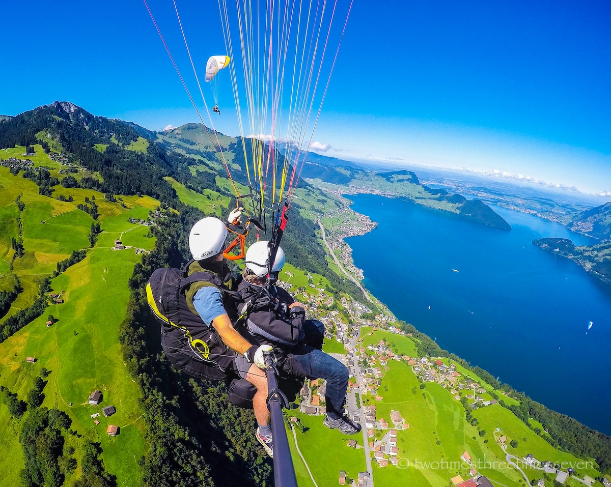
Paraglide over Lucerne
Mon, Jan 26 • 8:30 AM
6370, Stans, Switzerland
View details
Nearby local services of Grosser Mythen
Mythen
Mythen
4.8
(285)
Click for details