Monte Rosa things to do, attractions, restaurants, events info and trip planning
Basic Info
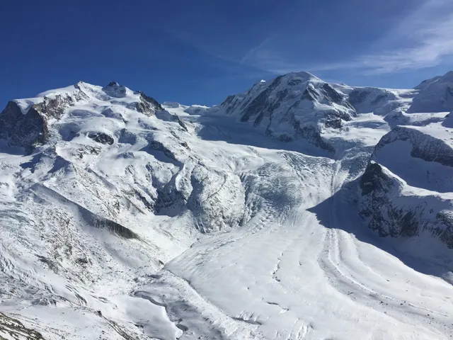
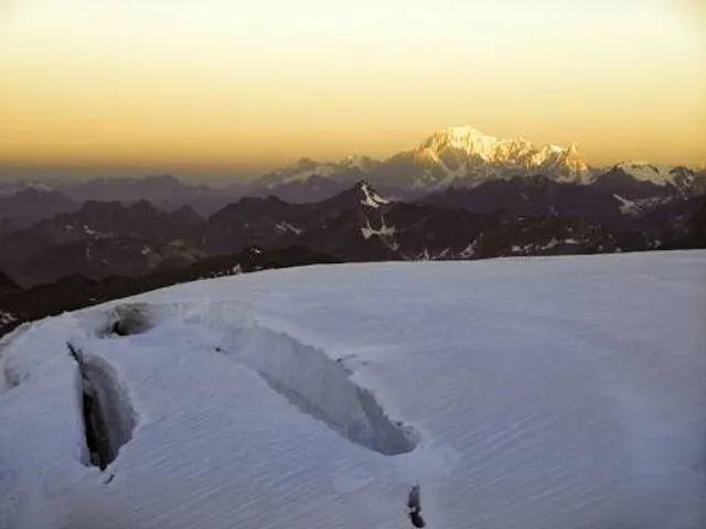
Monte Rosa
3920 Zermatt, Switzerland
4.7(169)
Save
spot
spot
Ratings & Description
Info
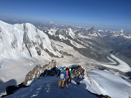
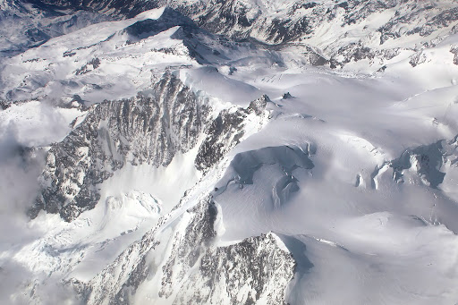
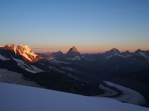
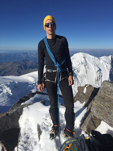
Outdoor
Adventure
Scenic
Off the beaten path
attractions: , restaurants: , local businesses: Zumsteinspitze
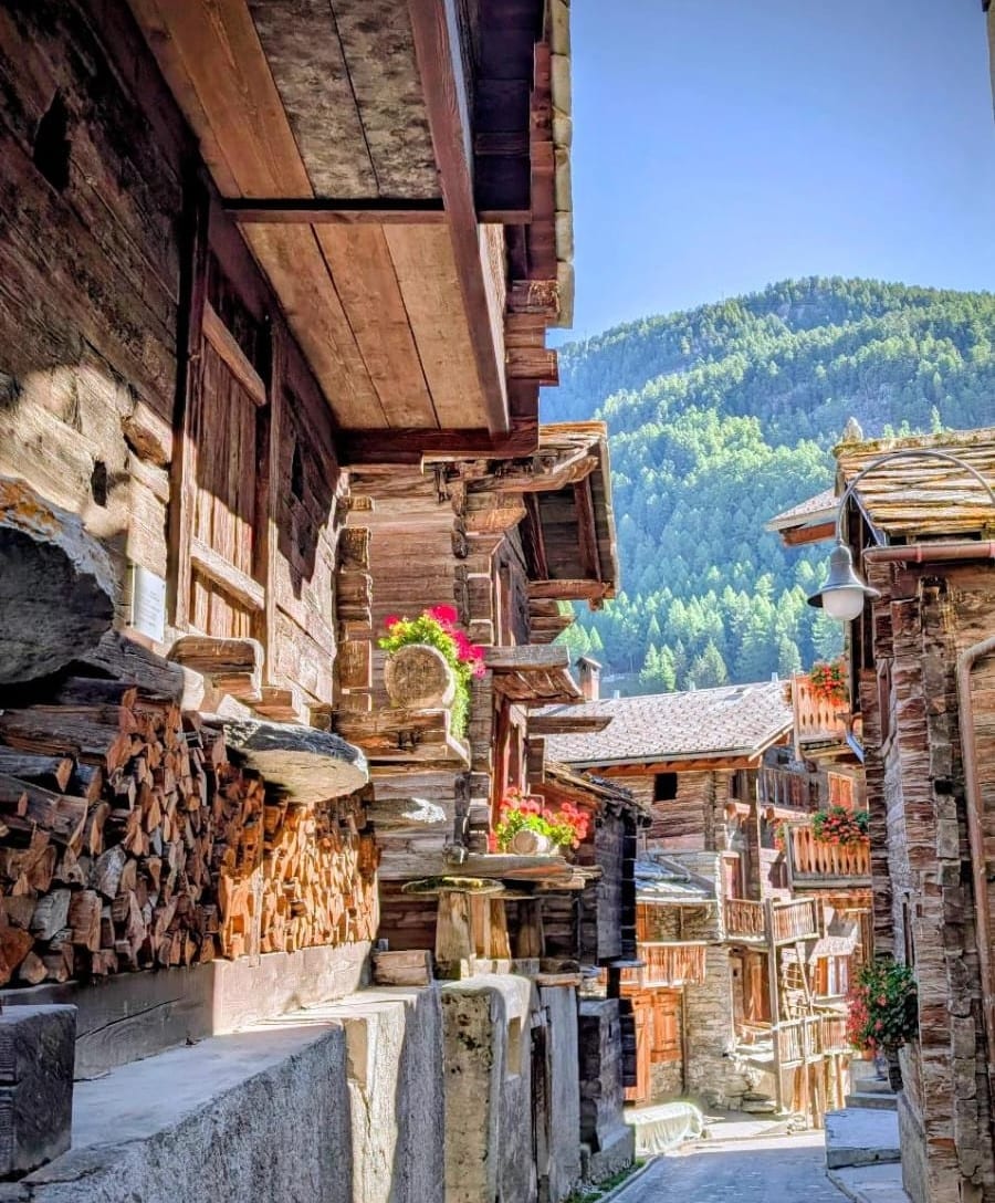
Plan your stay

Pet-friendly Hotels in Zermatt
Find a cozy hotel nearby and make it a full experience.

Affordable Hotels in Zermatt
Find a cozy hotel nearby and make it a full experience.

The Coolest Hotels You Haven't Heard Of (Yet)
Find a cozy hotel nearby and make it a full experience.

Trending Stays Worth the Hype in Zermatt
Find a cozy hotel nearby and make it a full experience.
Reviews
Live events
Zermatt As We Love It – We Care What You Want
Sun, Feb 22 • 9:00 AM
3920, Zermatt, Switzerland
View details

Inaugurazione Billia ospita larte: Sergi Barnils
Thu, Feb 26 • 6:00 PM
72 Viale Piemonte 11027 Saint-Vincent
View details
Nearby local services of Monte Rosa
Zumsteinspitze
Zumsteinspitze
5.0
(28)
Click for details