Guishan Island things to do, attractions, restaurants, events info and trip planning

Basic Info
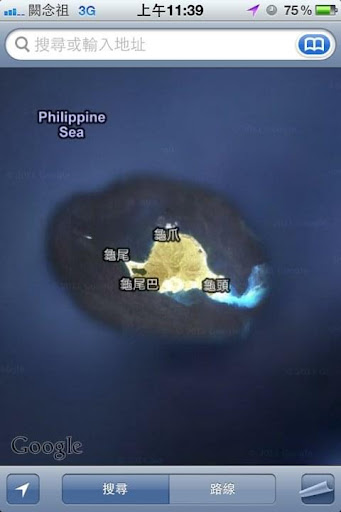
Guishan Island
261, Taiwan, Yilan County, Toucheng Township
4.6(611)
Save
spot
spot
Ratings & Description
Info
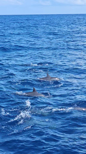
Guishan Island / Gueishan Island or Steep Island or Turtle Island, also known as Kweishan Island or Kueishan Island, is an island in the Pacific Ocean, part of Toucheng Township, Yilan County, Taiwan and located 9.1 km east of port of Kengfang Fishery Harbor.
Outdoor
Adventure
Scenic
Off the beaten path
attractions: , restaurants: , local businesses:
Plan your stay

Pet-friendly Hotels in Toucheng Township
Find a cozy hotel nearby and make it a full experience.

Affordable Hotels in Toucheng Township
Find a cozy hotel nearby and make it a full experience.

The Coolest Hotels You Haven't Heard Of (Yet)
Find a cozy hotel nearby and make it a full experience.

Trending Stays Worth the Hype in Toucheng Township
Find a cozy hotel nearby and make it a full experience.