Whernside things to do, attractions, restaurants, events info and trip planning
Basic Info
Whernside
Sedbergh LA6 3AX, United Kingdom
4.8(218)
Save
spot
spot
Ratings & Description
Info
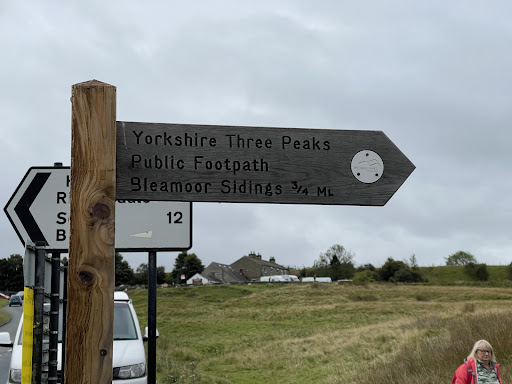
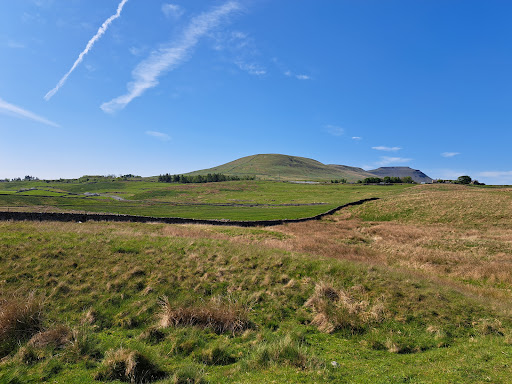
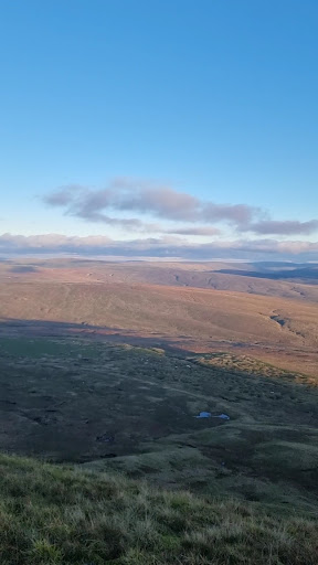
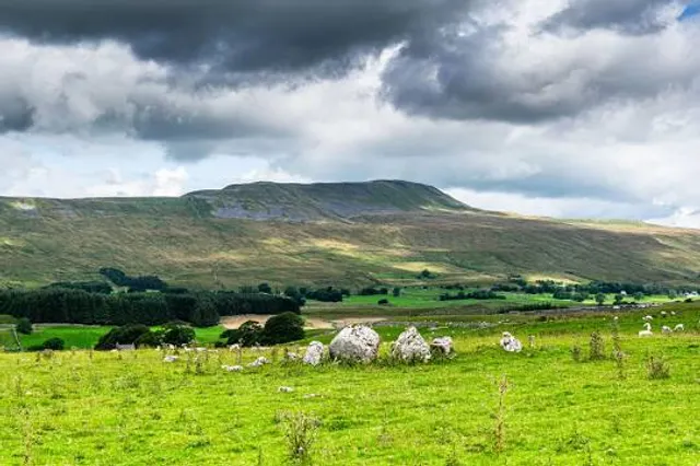
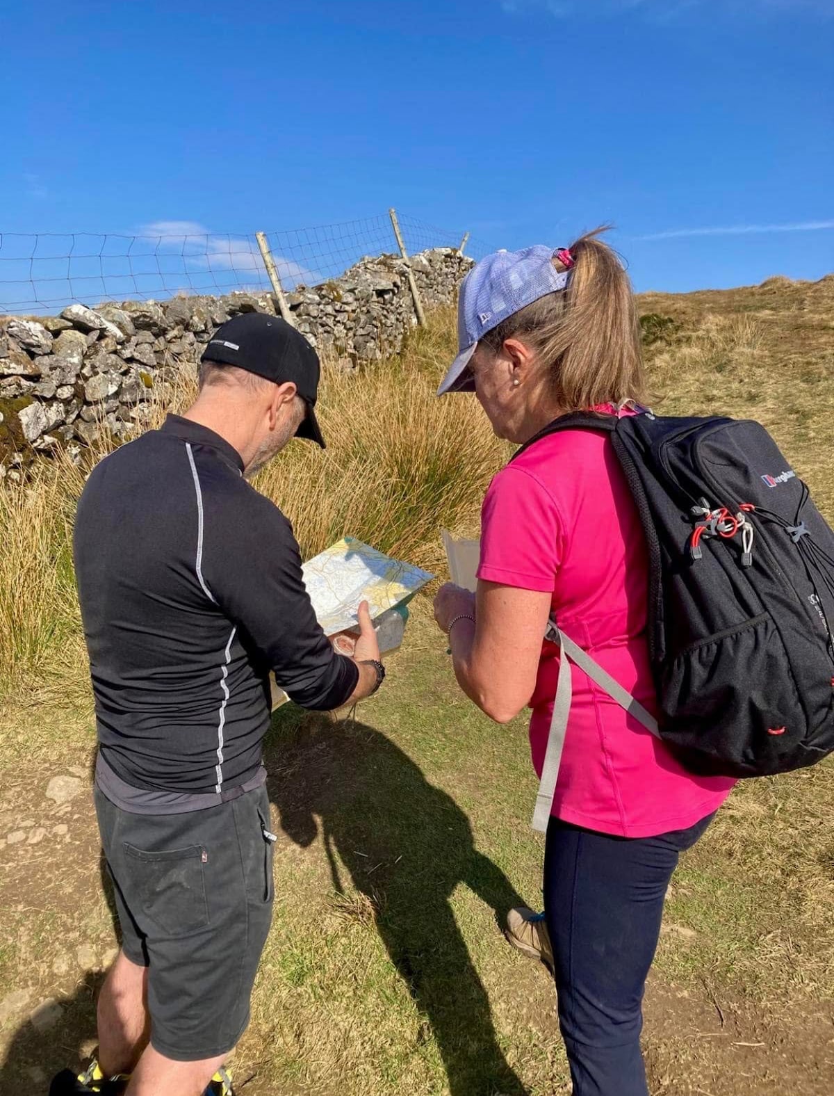
Whernside is a mountain in the Yorkshire Dales in Northern England. It is the highest of the Yorkshire Three Peaks, the other two being Ingleborough and Pen-y-ghent.
Outdoor
Adventure
Scenic
Off the beaten path
Pet friendly
attractions: , restaurants: , local businesses:
Plan your stay

Pet-friendly Hotels in Ingleton
Find a cozy hotel nearby and make it a full experience.

Affordable Hotels in Ingleton
Find a cozy hotel nearby and make it a full experience.

The Coolest Hotels You Haven't Heard Of (Yet)
Find a cozy hotel nearby and make it a full experience.

Trending Stays Worth the Hype in Ingleton
Find a cozy hotel nearby and make it a full experience.
Reviews
Live events

Train for trail and mountain fitness
Sat, Jan 31 • 9:30 AM
Clapham, LA2 8DS, United Kingdom
View details

7-11 Home Ed Creative Session (10am) Pablo Picasso
Thu, Jan 29 • 10:00 AM
Creative Ewe, Unit 3, The Craft Barn, Greenlands Farm Village, Lancaster, United Kingdom
View details
A beautiful trail walk around Austwick and Feizor
Thu, Jan 29 • 10:15 AM
Austwick, LA2 8BB, United Kingdom
View details