Great Whernside things to do, attractions, restaurants, events info and trip planning
Basic Info
Great Whernside
Skipton HG3 5SF, United Kingdom
4.8(35)
Save
spot
spot
Ratings & Description
Info
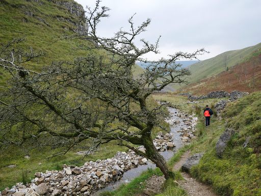
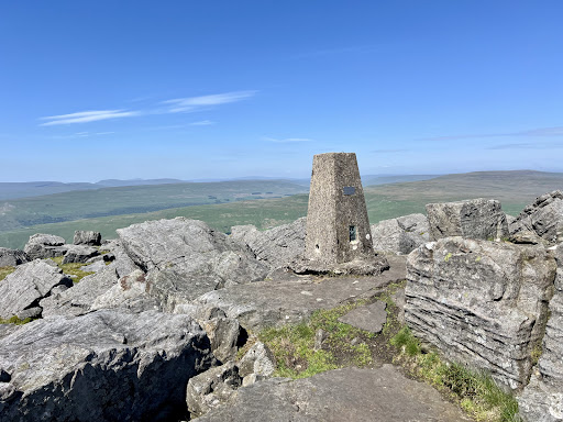
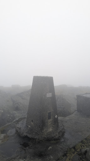
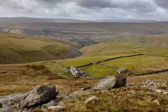
Great Whernside is a fell in the Yorkshire Dales, England, not to be confused with Whernside, some 17 miles to the west. Its summit is the highest point of the eastern flank of Wharfedale above Kettlewell.
Outdoor
Adventure
Scenic
Pet friendly
Off the beaten path
attractions: , restaurants: , local businesses:
Plan your stay

Pet-friendly Hotels in Kettlewell with Starbotton
Find a cozy hotel nearby and make it a full experience.

Affordable Hotels in Kettlewell with Starbotton
Find a cozy hotel nearby and make it a full experience.

The Coolest Hotels You Haven't Heard Of (Yet)
Find a cozy hotel nearby and make it a full experience.

Trending Stays Worth the Hype in Kettlewell with Starbotton
Find a cozy hotel nearby and make it a full experience.
Reviews
Live events
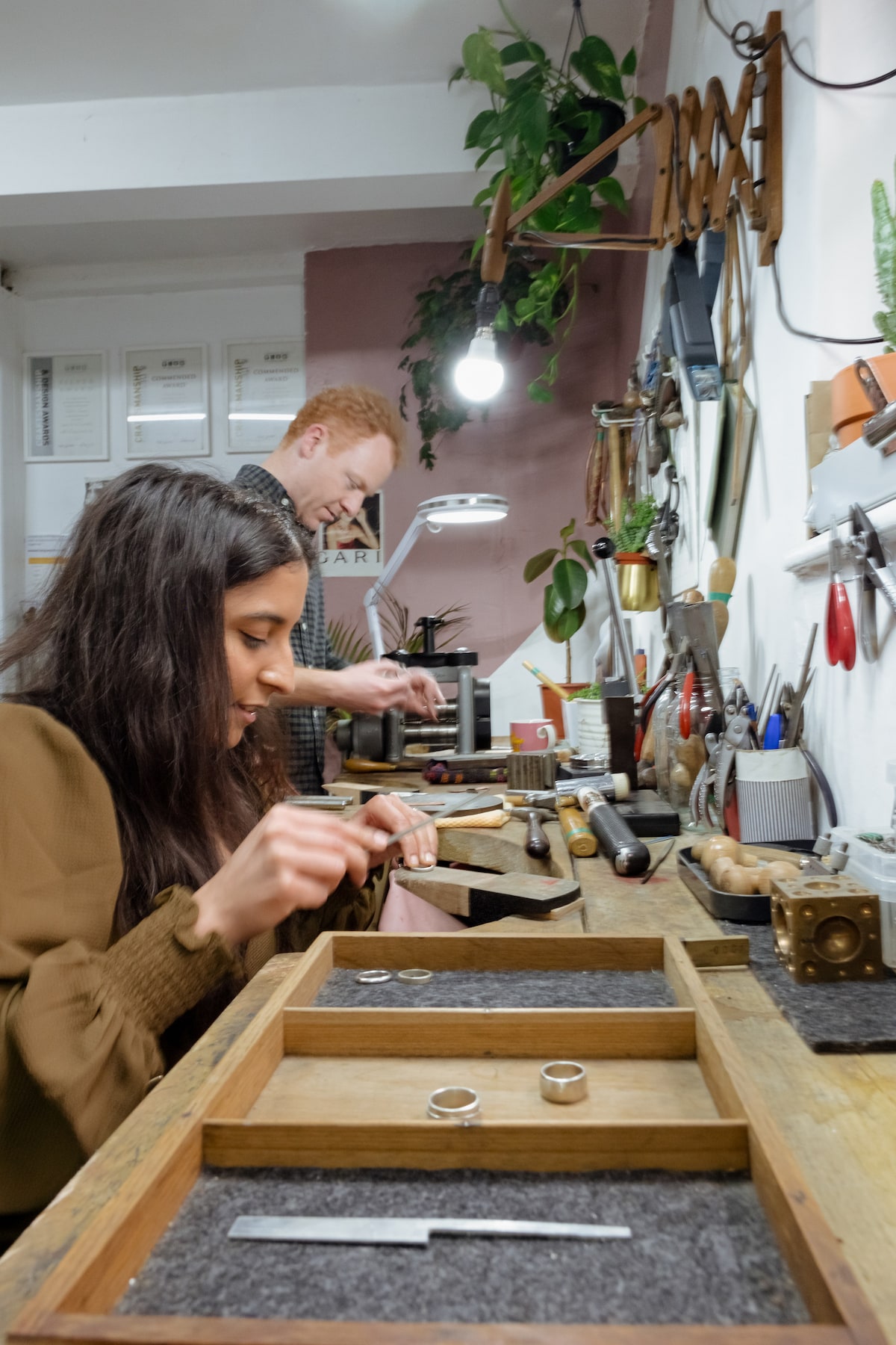
Design and craft a silver ring
Tue, Jan 27 • 12:00 PM
North Yorkshire, BD23 1DZ, United Kingdom
View details

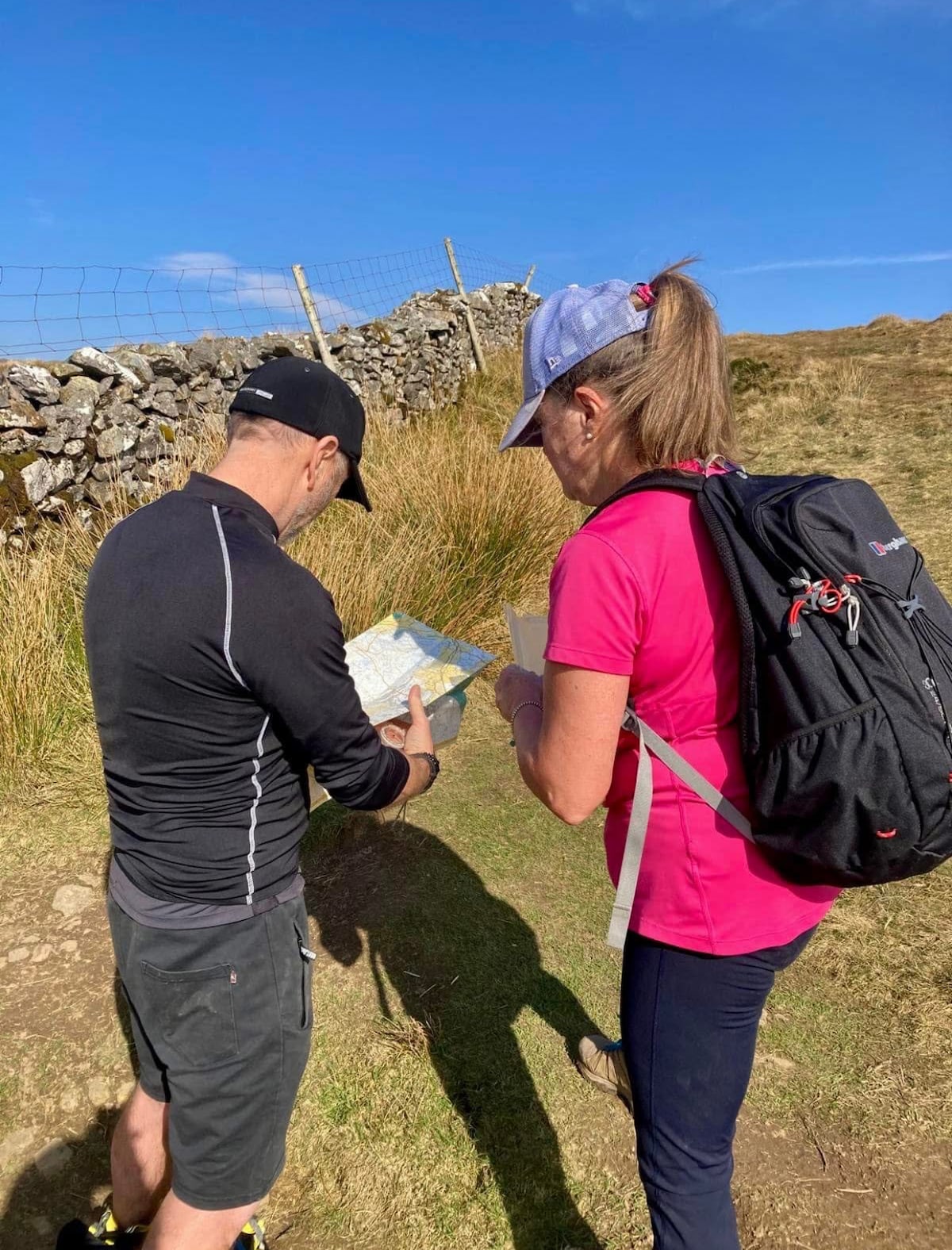
Train for trail and mountain fitness
Sat, Jan 31 • 9:30 AM
Clapham, LA2 8DS, United Kingdom
View details
A beautiful trail walk around Austwick and Feizor
Thu, Jan 29 • 10:15 AM
Austwick, LA2 8BB, United Kingdom
View details