Blencathra things to do, attractions, restaurants, events info and trip planning
Basic Info
Blencathra
Keswick CA12 4SU, United Kingdom
4.9(167)
Save
spot
spot
Ratings & Description
Info
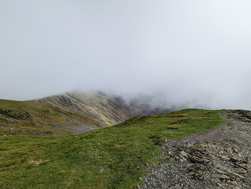
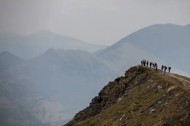
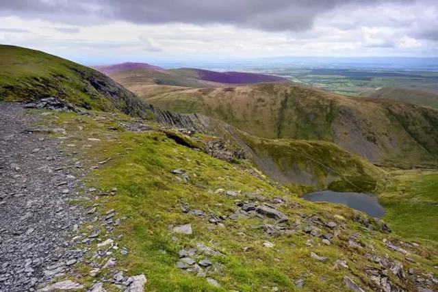
Blencathra, also known as Saddleback, is one of the most northerly hills in the English Lake District. It has six separate fell tops, of which the highest is the Hallsfell Top at 2,848 feet.
Outdoor
Adventure
Scenic
Off the beaten path
attractions: Scales Tarn, restaurants: , local businesses:
Plan your stay

Pet-friendly Hotels in Threlkeld
Find a cozy hotel nearby and make it a full experience.

Affordable Hotels in Threlkeld
Find a cozy hotel nearby and make it a full experience.

The Coolest Hotels You Haven't Heard Of (Yet)
Find a cozy hotel nearby and make it a full experience.

Trending Stays Worth the Hype in Threlkeld
Find a cozy hotel nearby and make it a full experience.
Reviews
Live events
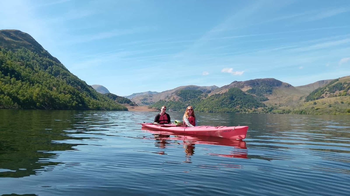
Lake District Kayaking Tour
Fri, Feb 27 • 9:30 AM
Glenridding, CA11 0PB, United Kingdom
View details
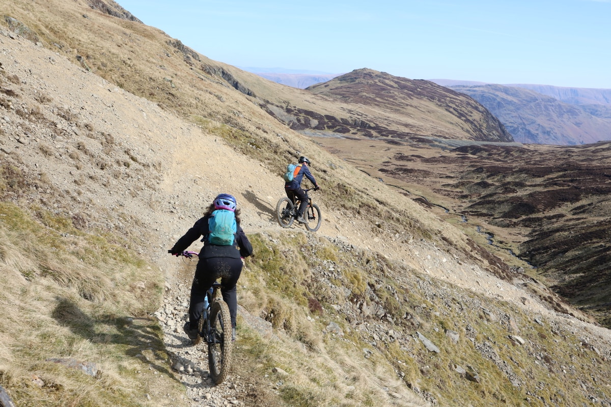
Mountain bike the Lake District
Fri, Feb 27 • 9:30 AM
Cumberland, CA12 5NY, United Kingdom
View details
Guided mountain photography of the Lake District
Wed, Mar 4 • 9:30 AM
Westmorland and Furness, LA22 9JU, United Kingdom
View details
Nearby attractions of Blencathra
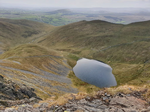
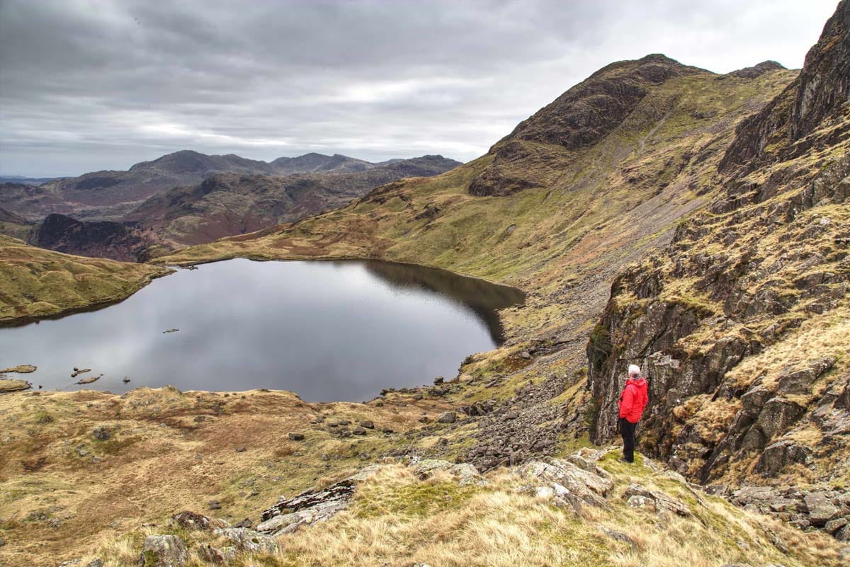
Scales Tarn
Scales Tarn
4.9
(19)
Open 24 hours
Click for details