Pfeifferhorn things to do, attractions, restaurants, events info and trip planning
Basic Info
Pfeifferhorn
Utah 84004
4.9(51)
Save
spot
spot
Ratings & Description
Info
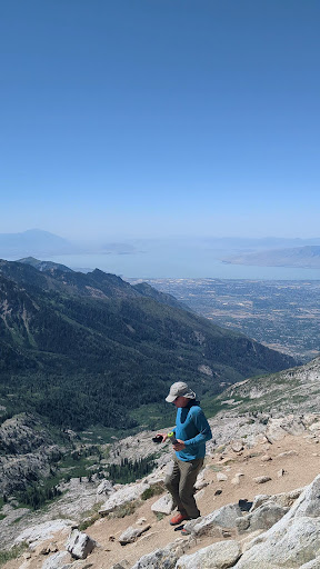
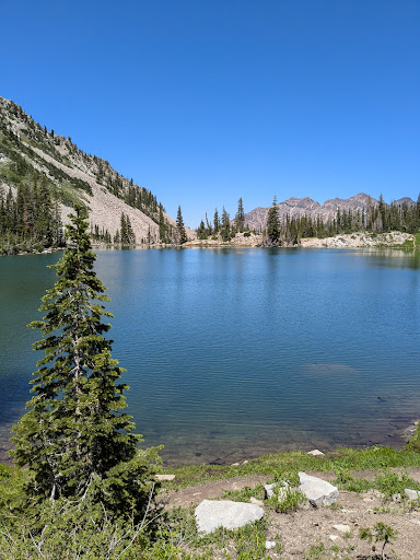
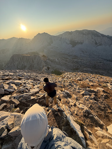
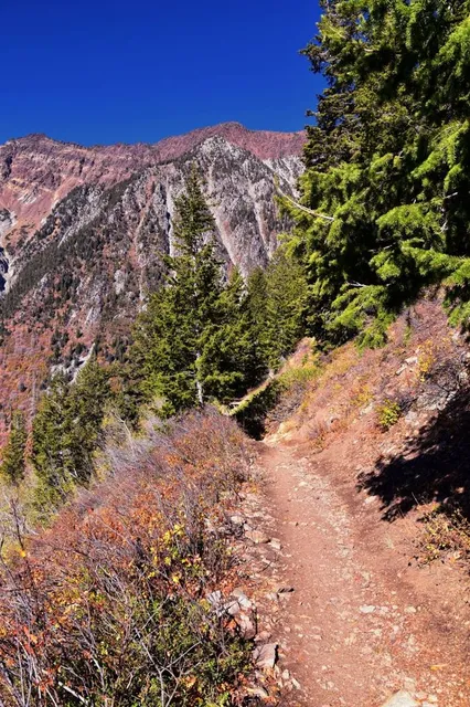
The Pfeifferhorn is the 11,331 feet triangularly-shaped peak located in the most isolated part of the Lone Peak Wilderness Area of the Wasatch Mountains in northern Utah, United States. This rugged Utah mountain, commonly referred to as the Little Matterhorn, is the fifth-highest peak in the Wasatch Range.
Outdoor
Adventure
Scenic
Off the beaten path
attractions: , restaurants: , local businesses:
Plan your stay

Pet-friendly Hotels in Alpine
Find a cozy hotel nearby and make it a full experience.

Affordable Hotels in Alpine
Find a cozy hotel nearby and make it a full experience.

The Coolest Hotels You Haven't Heard Of (Yet)
Find a cozy hotel nearby and make it a full experience.

Trending Stays Worth the Hype in Alpine
Find a cozy hotel nearby and make it a full experience.
Reviews
Live events

Titanic: The Exhibition
Fri, Feb 13 • 11:00 AM
10230 State St #5, Sandy, UT 84070, Located at Marketplace near Target and next to Old Navy, 84070
View details

Tween Club
Thu, Feb 12 • 3:00 PM
64 S 100 E American Fork, UT 84003
View details

Kim T. Adamson Lecture ft. Erica Chenoweth
Thu, Feb 12 • 4:00 PM
1840 South 1300 East Salt Lake City, UT 84105
View details