Yellow Aster Butte things to do, attractions, restaurants, events info and trip planning
Basic Info
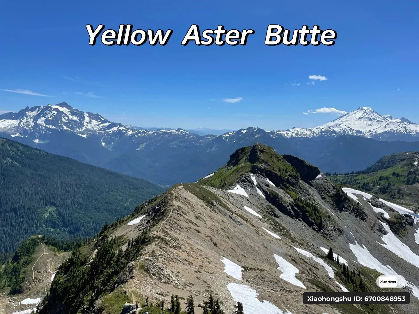
Yellow Aster Butte
Washington
4.9(25)
Save
spot
spot
Ratings & Description
Info
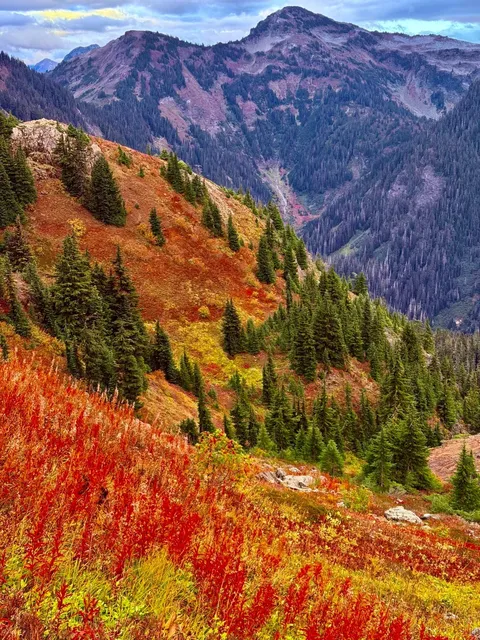
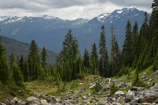
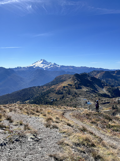
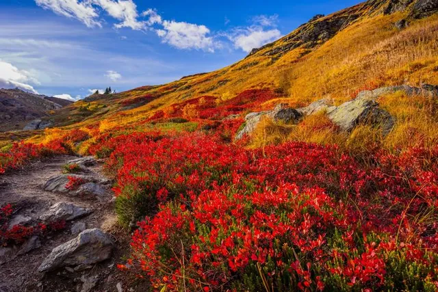
Yellow Aster Butte is a 6,241-foot Skagit Range summit located three miles south of the Canada–United States border, in Whatcom County of Washington state. It is situated within the Mount Baker Wilderness, on land managed by Mount Baker-Snoqualmie National Forest.
Outdoor
Adventure
Scenic
attractions: , restaurants: , local businesses:
Plan your stay

Pet-friendly Hotels in Area E (Chilliwack River Valley)
Find a cozy hotel nearby and make it a full experience.

Affordable Hotels in Area E (Chilliwack River Valley)
Find a cozy hotel nearby and make it a full experience.

The Coolest Hotels You Haven't Heard Of (Yet)
Find a cozy hotel nearby and make it a full experience.

Trending Stays Worth the Hype in Area E (Chilliwack River Valley)
Find a cozy hotel nearby and make it a full experience.
Reviews
Live events

Weekly Mens Development - Thriving Man Movement
Tue, Feb 10 • 6:30 PM
49388 Elk View Road Chilliwack, BC V4Z 1E8
View details