White Mountain Peak things to do, attractions, restaurants, events info and trip planning
Basic Info
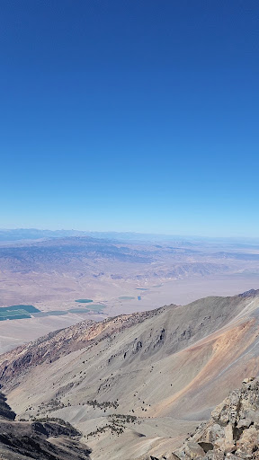
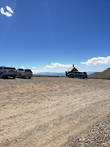
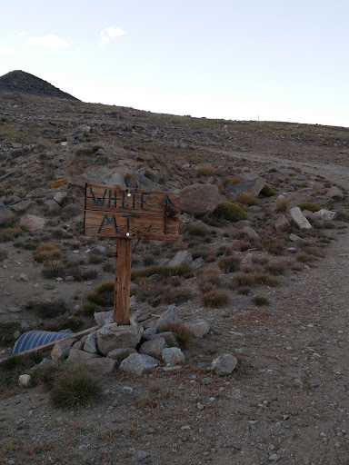
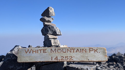
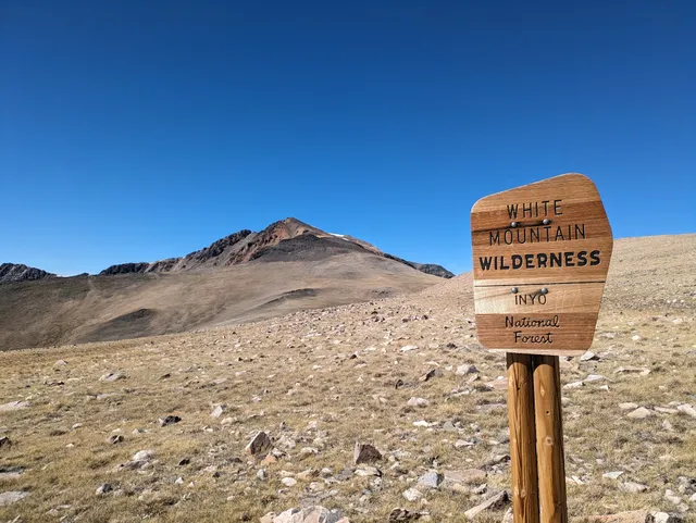
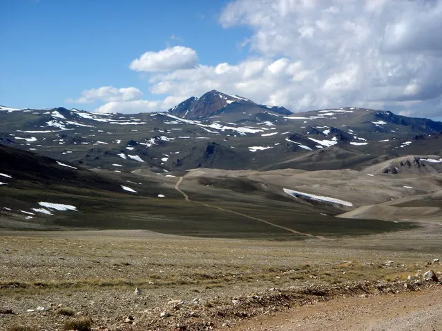
White Mountain Peak
California 93514
4.7(54)
Save
spot
spot
Ratings & Description
Info
Outdoor
Adventure
Scenic
Off the beaten path
attractions: , restaurants: , local businesses: White Mountain Peak
Plan your stay

Pet-friendly Hotels in Bishop
Find a cozy hotel nearby and make it a full experience.

Affordable Hotels in Bishop
Find a cozy hotel nearby and make it a full experience.

The Coolest Hotels You Haven't Heard Of (Yet)
Find a cozy hotel nearby and make it a full experience.

Trending Stays Worth the Hype in Bishop
Find a cozy hotel nearby and make it a full experience.
Reviews
Nearby local services of White Mountain Peak
White Mountain Peak
White Mountain Peak
4.6
(41)
Click for details