Marble Mountain things to do, attractions, restaurants, events info and trip planning

Basic Info
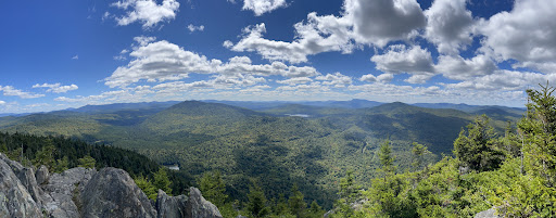
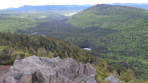
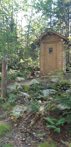
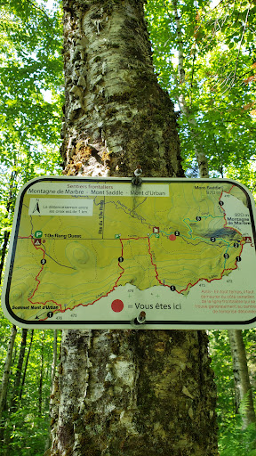
Marble Mountain
North Oxford, ME 03579
4.8(13)
Save
spot
spot
Ratings & Description
Info
Outdoor
Adventure
Scenic
Family friendly
Off the beaten path
attractions: , restaurants: , local businesses:
Plan your stay

Pet-friendly Hotels in Bowmantown Township
Find a cozy hotel nearby and make it a full experience.

Affordable Hotels in Bowmantown Township
Find a cozy hotel nearby and make it a full experience.

The Coolest Hotels You Haven't Heard Of (Yet)
Find a cozy hotel nearby and make it a full experience.

Trending Stays Worth the Hype in Bowmantown Township
Find a cozy hotel nearby and make it a full experience.