Mt St Helena things to do, attractions, restaurants, events info and trip planning

Basic Info
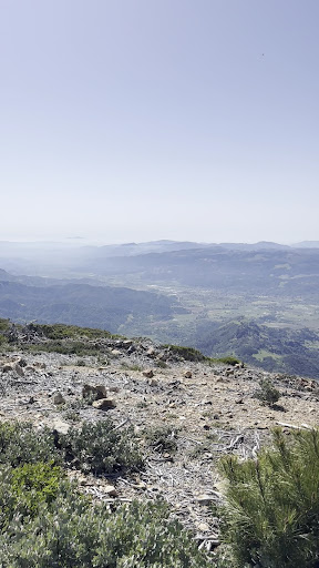
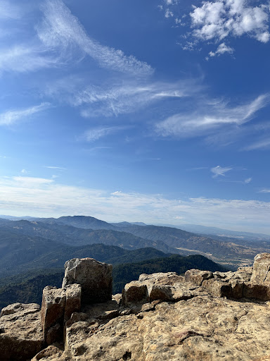
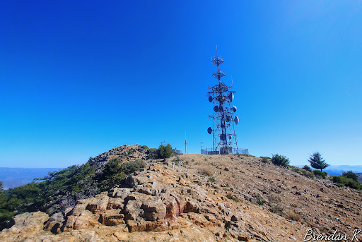
Mt St Helena
California 95448
4.7(35)
Save
spot
spot
Ratings & Description
Info
Outdoor
Adventure
Scenic
Off the beaten path
attractions: , restaurants: , local businesses:
Plan your stay

Pet-friendly Hotels in Calistoga
Find a cozy hotel nearby and make it a full experience.

Affordable Hotels in Calistoga
Find a cozy hotel nearby and make it a full experience.

The Coolest Hotels You Haven't Heard Of (Yet)
Find a cozy hotel nearby and make it a full experience.

Trending Stays Worth the Hype in Calistoga
Find a cozy hotel nearby and make it a full experience.
Reviews
Live events

Immersive farm tour, wine tasting at a hidden gem
Mon, Jan 26 • 10:30 AM
St. Helena, California, 94574
View details

MIYOKO SCHINNER Live at Carmella!
Thu, Jan 29 • 4:30 PM
312 Center Street Healdsburg, CA 95448
View details

Sentenced: The Film Screening
Thu, Jan 29 • 5:30 PM
2500 Farmers Lane Santa Rosa, CA 95404
View details