Summit Peak Scenic Area things to do, attractions, restaurants, events info and trip planning
Basic Info
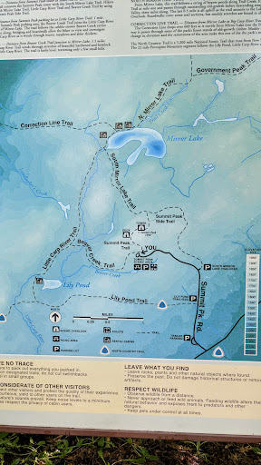
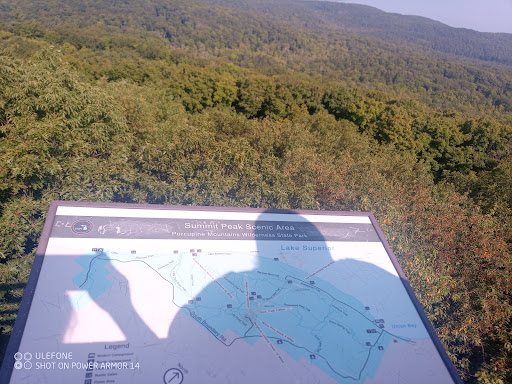
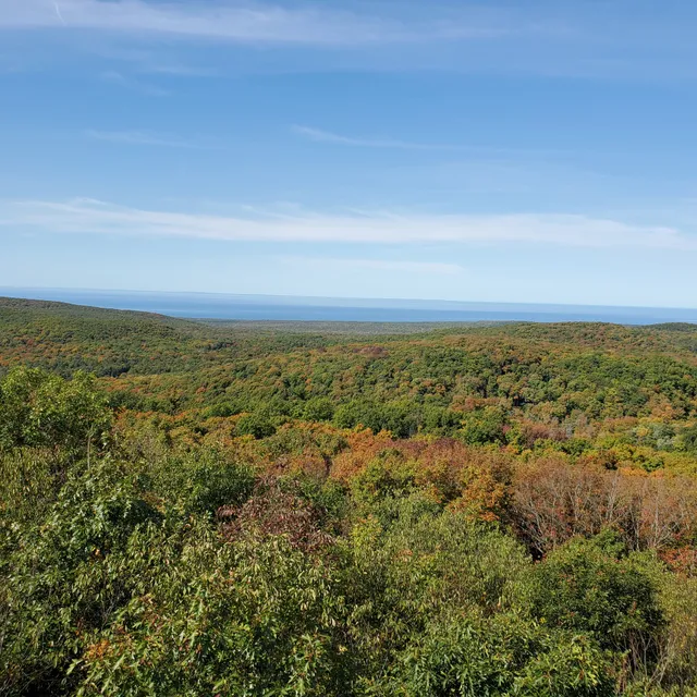
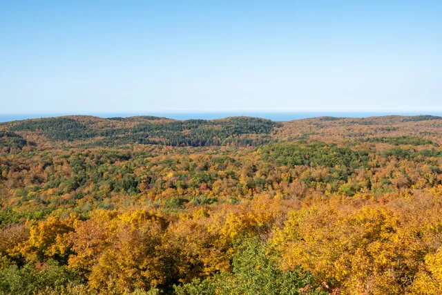
Summit Peak Scenic Area
Summit Peak Rd, Ontonagon, MI 49953
4.8(32)
Save
spot
spot
Ratings & Description
Info
Outdoor
Scenic
Adventure
Family friendly
Pet friendly
Off the beaten path
attractions: Summit Peak, restaurants: , local businesses: Summit Peak
Website
porcupineup.com
Plan your stay

Pet-friendly Hotels in Carp Lake Township
Find a cozy hotel nearby and make it a full experience.

Affordable Hotels in Carp Lake Township
Find a cozy hotel nearby and make it a full experience.

The Coolest Hotels You Haven't Heard Of (Yet)
Find a cozy hotel nearby and make it a full experience.

Trending Stays Worth the Hype in Carp Lake Township
Find a cozy hotel nearby and make it a full experience.
Reviews
Nearby attractions of Summit Peak Scenic Area
Summit Peak
Summit Peak
4.8
(66)
Open until 12:00 AM
Click for details
Nearby local services of Summit Peak Scenic Area
Summit Peak

Summit Peak
4.8
(20)
Click for details