Cinder Cone things to do, attractions, restaurants, events info and trip planning
Basic Info
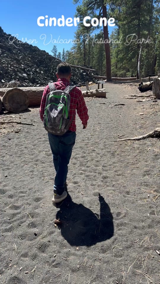
Cinder Cone
California
4.9(92)
Save
spot
spot
Ratings & Description
Info
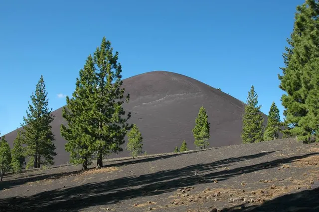
A cinder cone is a steep conical hill of loose pyroclastic fragments, such as volcanic clinkers, volcanic ash, or scoria that has been built around a volcanic vent. The pyroclastic fragments are formed by explosive eruptions or lava fountains from a single, typically cylindrical, vent.
Outdoor
Adventure
Scenic
Pet friendly
attractions: Lassen Cinder Cone, Painted Dunes, restaurants: , local businesses:
Plan your stay

Pet-friendly Hotels in Chester
Find a cozy hotel nearby and make it a full experience.

Affordable Hotels in Chester
Find a cozy hotel nearby and make it a full experience.

The Coolest Hotels You Haven't Heard Of (Yet)
Find a cozy hotel nearby and make it a full experience.

Trending Stays Worth the Hype in Chester
Find a cozy hotel nearby and make it a full experience.
Reviews
Live events

Community Town Hall
Mon, Feb 23 • 5:00 PM
200 Main Street Chester, CA 96020
View details

Chester Public Utilities District Board Meeting
Tue, Feb 24 • 5:30 PM
251 Chester Airport Road Chester, CA 96020
View details
Nearby attractions of Cinder Cone
Lassen Cinder Cone
Painted Dunes
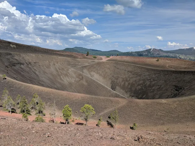
Lassen Cinder Cone
4.8
(22)
Open until 12:00 AM
Click for details
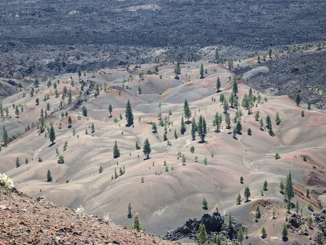
Painted Dunes
4.8
(10)
Open 24 hours
Click for details