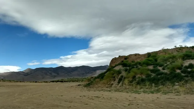
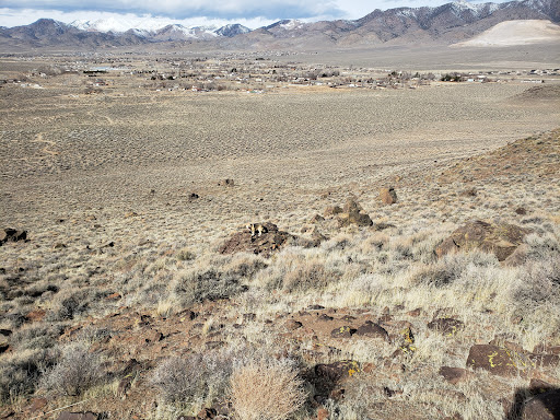
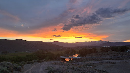
The Carson River is a northwestern Nevada river that empties into the Carson Sink, an endorheic basin. The main stem of the river is 131 miles (211 km) long[2] although addition of the East Fork makes the total length 205 miles (330 km), traversing five counties: Alpine County in California and Douglas, Storey, Lyon, and Churchill Counties in Nevada, as well as the Consolidated Municipality of Carson City, Nevada. The river is named for Kit Carson,[5] who guided John C. Frémont's expedition westward up the Carson Valley and across Carson Pass in winter, 1844.
Archaeological finds place the eastern border for the prehistoric Martis people in the Reno/Carson River area, apparently the first humans to enter the area about 12,000 years ago. By the early 1800s, the Northern Paiute lived near the lower Carson River and the present Stillwater National Wildlife Refuge, while the Washoe people inhabited the upper watershed region.[6]
The first European settlements in Nevada were the 1851 settlements at Mormon Station (now Genoa) and at the mouth of Gold Canyon (Dayton), both in the Carson River Watershed. In the 1850s and 1860s, the river was used as the route of the Carson Trail, a branch of the California Trail that allowed access to the California gold fields, as well as by the Pony Express. Gold was discovered along the river in the Silver Mountain Mining District in 1860.[7] The 1868 Virginia and Truckee Railroad transported ore to the quartz reduction mines along the river.[8] Virginia City, Nevada, along the lower watershed, was home in 1859 to the world’s greatest silver rush, the Comstock Lode. The Carson Valley provided food and forage for the silver miners and their livestock. The Comstock mining boom critically impacted the watershed and its water quality by causing deforested slopes, mine tailings, and steep raw riverbanks above channels cut into the valley floor in many places.[6]
In the early 20th century, the Newlands Reclamation Act was passed to bring irrigation water into the region for agriculture. The Lahontan Dam, completed in 1914, was constructed as part of the Newlands Irrigation Project.[9] The Truckee-Carson Irrigation District was formed in 1918 as part of the project to divert water from the Truckee River to the Carson Valley for agricultural use.
In 1989, the East Fork Carson River was designated a "Wild and Scenic River" by the State of California from Hangman's Bridge just east of Markleeville, California to the CA/NV border, prohibiting any further consideration...
Read more