Mount Blue Sky things to do, attractions, restaurants, events info and trip planning
Basic Info
Mount Blue Sky
Colorado 80439
4.8(854)
Save
spot
spot
Ratings & Description
Info
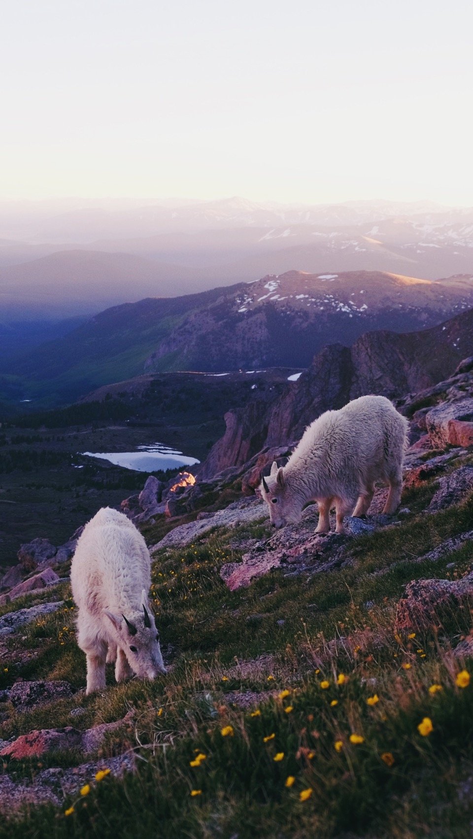
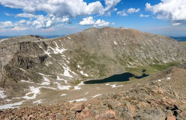
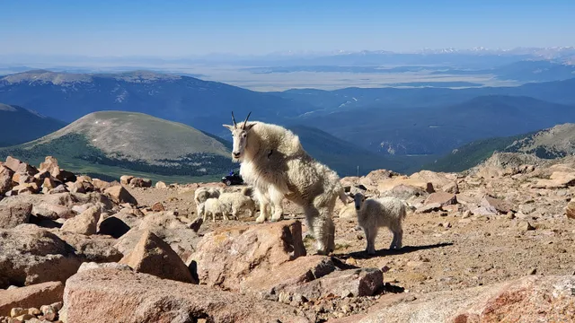
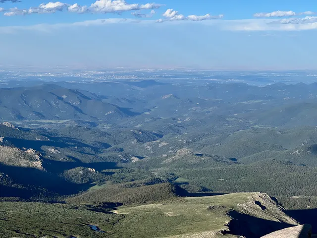
Mount Blue Sky is the highest peak in the Mount Evans Wilderness in the Front Range of the Rocky Mountains of North America.
Outdoor
Scenic
Adventure
Family friendly
attractions: Mount Blue Sky, Mount Blue Sky Scenic Byway, restaurants: , local businesses:
Plan your stay

Pet-friendly Hotels in Four Corners States
Find a cozy hotel nearby and make it a full experience.

Affordable Hotels in Four Corners States
Find a cozy hotel nearby and make it a full experience.

The Coolest Hotels You Haven't Heard Of (Yet)
Find a cozy hotel nearby and make it a full experience.

Trending Stays Worth the Hype in Four Corners States
Find a cozy hotel nearby and make it a full experience.
Reviews
Live events

Rocky Mountain 6-Zipline Adventure on CO Longest and Fastest!
Fri, Feb 20 • 9:00 AM
Conifer, 80433
View details

Keystones Winter Comedy Series
Fri, Feb 20 • 7:00 PM
164 Ida Belle Drive Keystone, CO 80435
View details

Keystone Women in Powder Weekend!
Sat, Feb 21 • 8:00 AM
Keystone Resort, 1202 E Keystone Rd, Keystone, United States
View details
Nearby attractions of Mount Blue Sky
Mount Blue Sky
Mount Blue Sky Scenic Byway
Mount Blue Sky
4.9
(982)
Open 24 hours
Click for details
Mount Blue Sky Scenic Byway
4.8
(35)
Open 24 hours
Click for details