The Castle things to do, attractions, restaurants, events info and trip planning
Basic Info
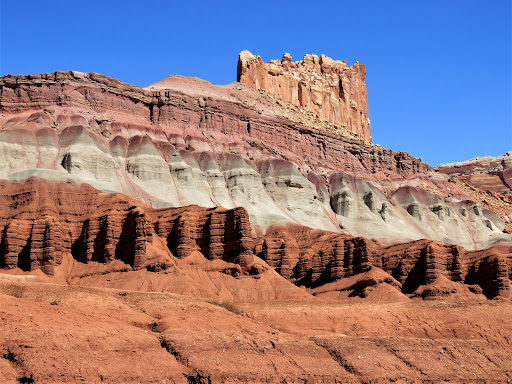
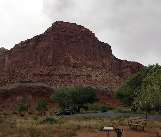
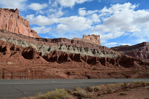
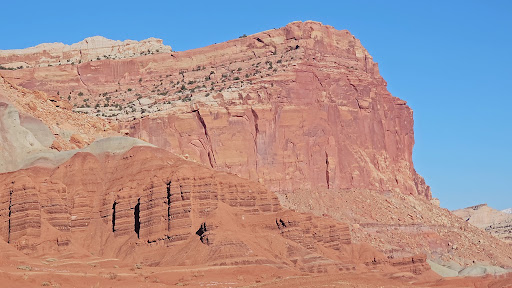
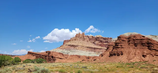
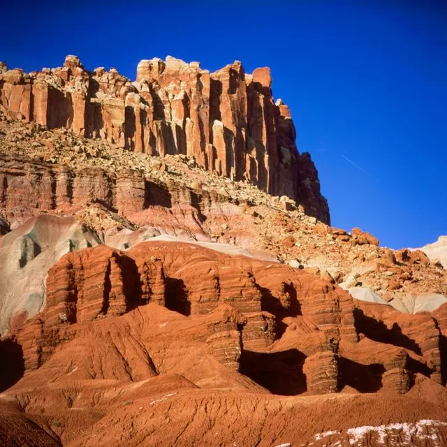
The Castle
Utah
4.5(9)
Save
spot
spot
Ratings & Description
Info
Cultural
Scenic
Family friendly
attractions: Capitol Reef National Park Visitor Center, restaurants: , local businesses:
Website
nps.gov
Plan your stay

Pet-friendly Hotels in Four Corners States
Find a cozy hotel nearby and make it a full experience.

Affordable Hotels in Four Corners States
Find a cozy hotel nearby and make it a full experience.

The Coolest Hotels You Haven't Heard Of (Yet)
Find a cozy hotel nearby and make it a full experience.

Trending Stays Worth the Hype in Four Corners States
Find a cozy hotel nearby and make it a full experience.
Reviews
Nearby attractions of The Castle
Capitol Reef National Park Visitor Center
Capitol Reef National Park Visitor Center
4.7
(903)
Closed
Click for details