Uncompahgre Peak things to do, attractions, restaurants, events info and trip planning
Basic Info
Uncompahgre Peak
Colorado 81235
5.0(40)
Save
spot
spot
Ratings & Description
Info
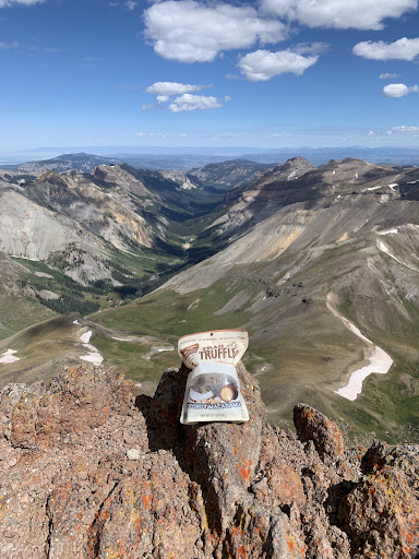
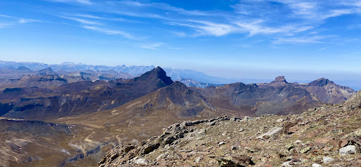
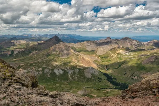
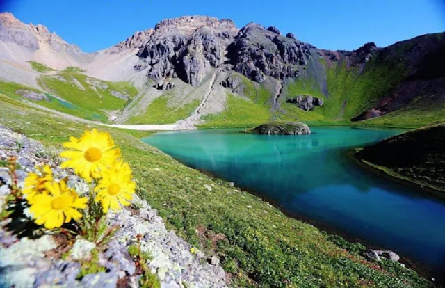
Uncompahgre Peak is the sixth highest summit of the Rocky Mountains of North America and the U.S. state of Colorado. The prominent 14,321-foot fourteener is the highest summit of the San Juan Mountains and the highest point in the drainage basin of the Colorado River and the Gulf of California.
Outdoor
Adventure
Scenic
Off the beaten path
attractions: , restaurants: , local businesses: San Juan Mountains
Plan your stay

Pet-friendly Hotels in Four Corners States
Find a cozy hotel nearby and make it a full experience.

Affordable Hotels in Four Corners States
Find a cozy hotel nearby and make it a full experience.

The Coolest Hotels You Haven't Heard Of (Yet)
Find a cozy hotel nearby and make it a full experience.

Trending Stays Worth the Hype in Four Corners States
Find a cozy hotel nearby and make it a full experience.
Reviews
Live events

Ouray Ice Camp Weekend 2026 | February 20–23, 2026
Fri, Feb 20 • 8:00 AM
280 County Road 361 Ouray, CO 81427
View details

Womens Adventure Film Tour 2026 - Showing at The Sherbino
Tue, Feb 24 • 5:30 PM
604 Clinton St, Ridgway, CO, United States, Colorado 81432
View details

2026 Cannibal Snow Shoe Scramble
Sat, Feb 28 • 9:00 AM
2700 Hinsdale County Rd 30 Lake City, CO 81235
View details
Nearby local services of Uncompahgre Peak
San Juan Mountains
San Juan Mountains
4.9
(50)
Click for details