Vesper Peak things to do, attractions, restaurants, events info and trip planning
Basic Info
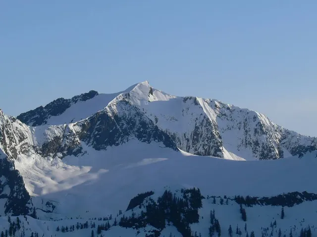
Vesper Peak
Washington 98252
4.9(29)
Save
spot
spot
Ratings & Description
Info
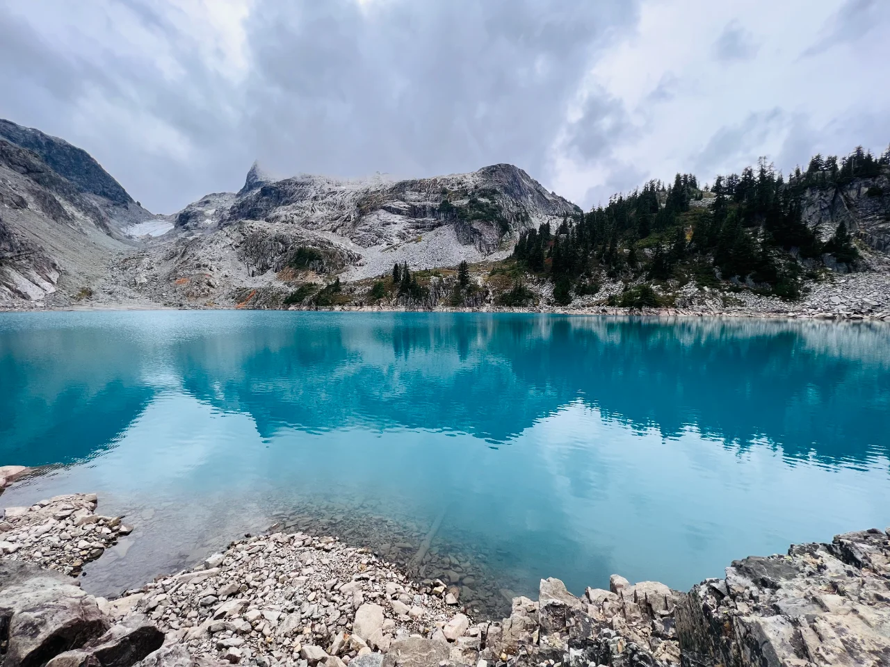
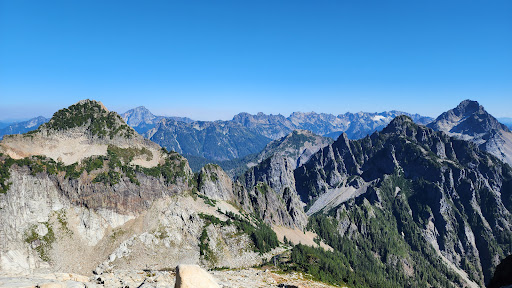
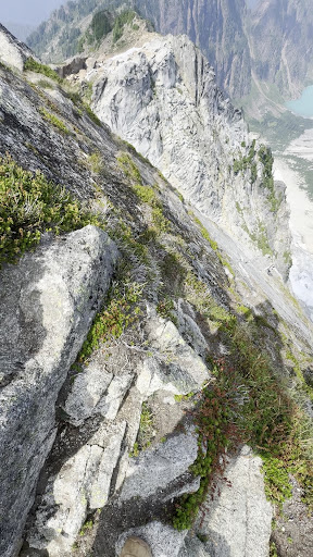
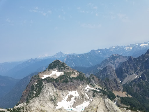
Vesper Peak is a peak along the Mountain Loop Highway region of the North Cascades of Washington state. It is about 18 miles south of Darrington and 21 miles east of Granite Falls, in the Mount Baker-Snoqualmie National Forest.
Outdoor
Adventure
Scenic
Off the beaten path
attractions: , restaurants: , local businesses:
Plan your stay

Pet-friendly Hotels in Granite Falls
Find a cozy hotel nearby and make it a full experience.

Affordable Hotels in Granite Falls
Find a cozy hotel nearby and make it a full experience.

The Coolest Hotels You Haven't Heard Of (Yet)
Find a cozy hotel nearby and make it a full experience.

Trending Stays Worth the Hype in Granite Falls
Find a cozy hotel nearby and make it a full experience.