Cerro de Punta things to do, attractions, restaurants, events info and trip planning
Basic Info
Cerro de Punta
Jayuya 00664, Puerto Rico
4.7(127)
Save
spot
spot
Ratings & Description
Info
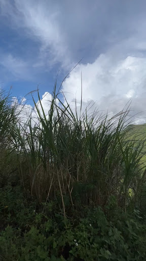
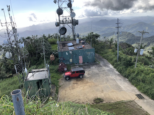
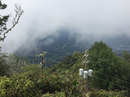
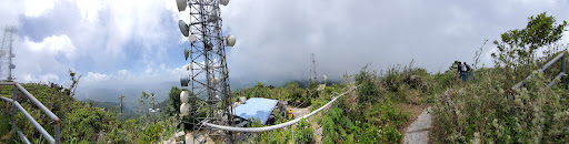
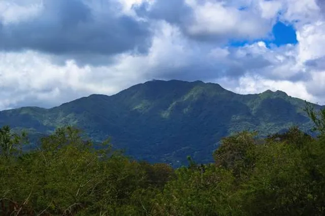
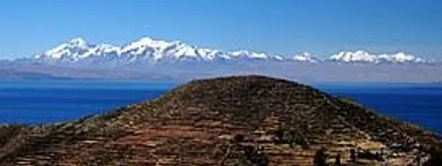
Cerro de Punta or just Cerro Punta is the highest peak in Puerto Rico, rising to 1,338 meters above sea level. The mountain is part of the Cordillera Central and is located in the municipality of Ponce.
Outdoor
Adventure
Scenic
Off the beaten path
attractions: , restaurants: , local businesses: Cordillera Central
Plan your stay

Pet-friendly Hotels in Jayuya
Find a cozy hotel nearby and make it a full experience.

Affordable Hotels in Jayuya
Find a cozy hotel nearby and make it a full experience.

The Coolest Hotels You Haven't Heard Of (Yet)
Find a cozy hotel nearby and make it a full experience.

Trending Stays Worth the Hype in Jayuya
Find a cozy hotel nearby and make it a full experience.
Reviews
Live events
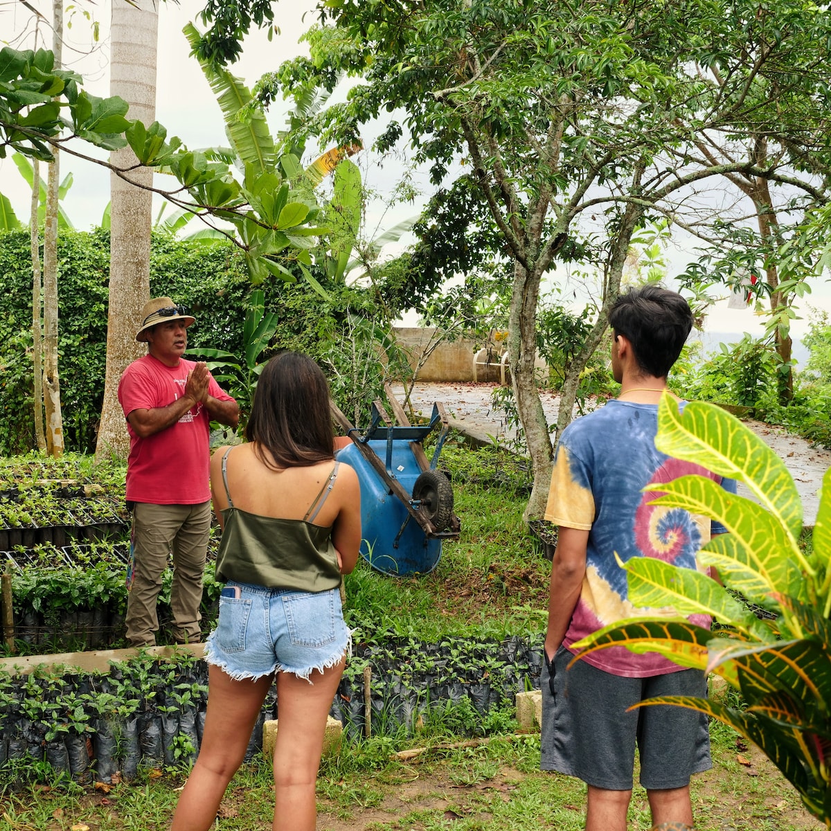
Discover the magic of coffee growing with a farmer
Tue, Jan 27 • 10:00 AM
Adjuntas, 00601, Puerto Rico
View details
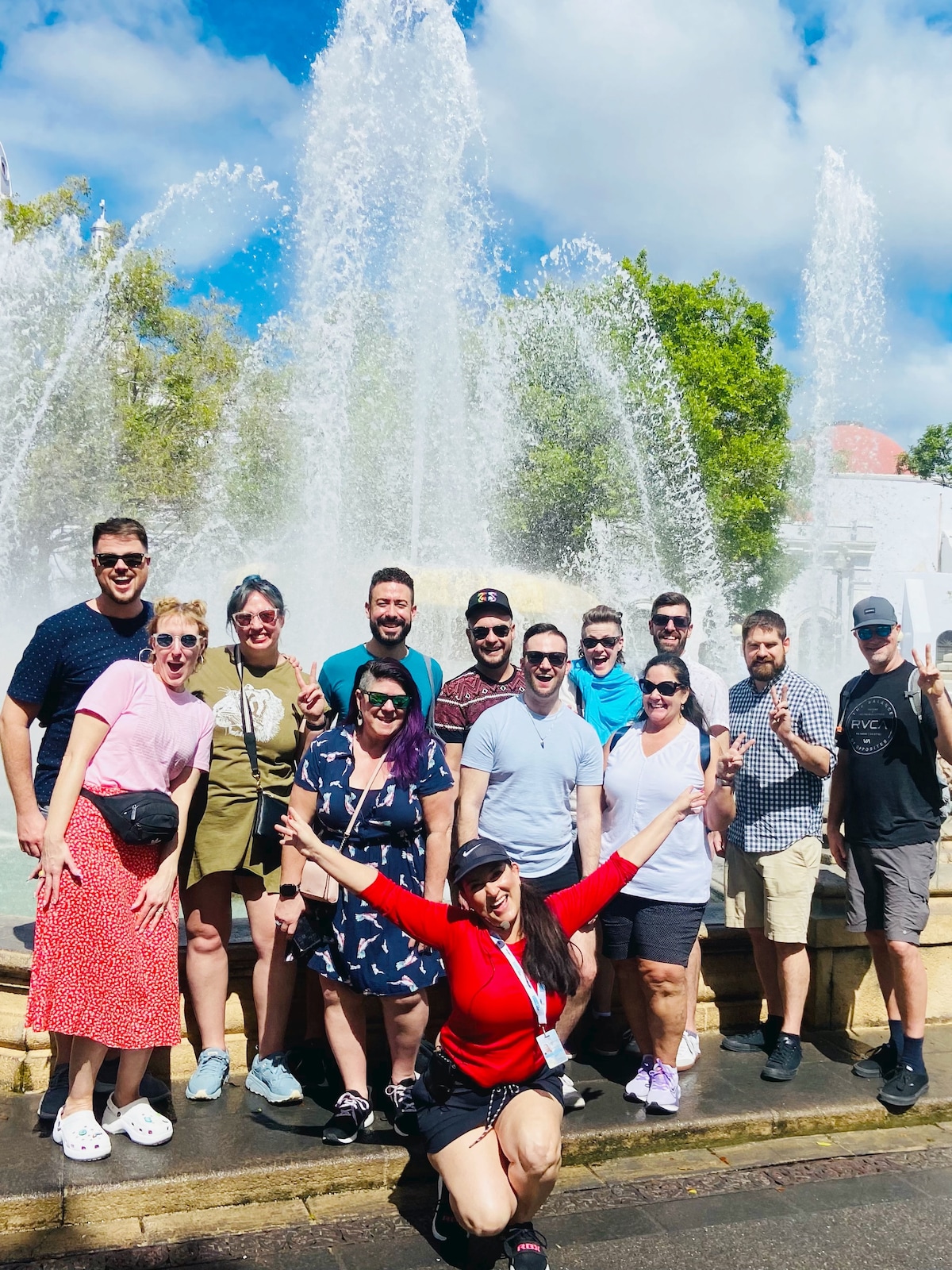
Ponce History Walking Tour
Fri, Jan 30 • 9:00 AM
Ponce, 00730, Puerto Rico
View details
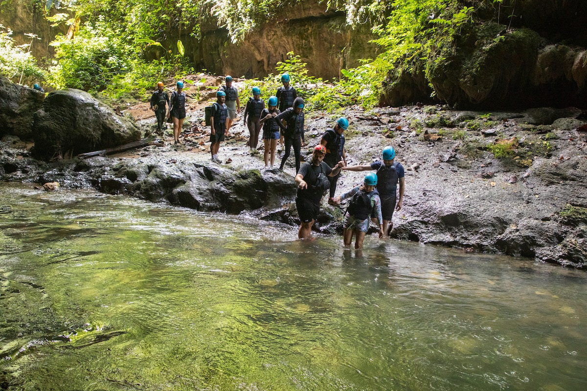
Hike and tube down the Tanama River
Tue, Jan 27 • 7:00 AM
Esperanza, 00612, Puerto Rico
View details
Nearby local services of Cerro de Punta
Cordillera Central
Cordillera Central
4.7
(12)
Click for details