Hurricane Creek things to do, attractions, restaurants, events info and trip planning
Basic Info
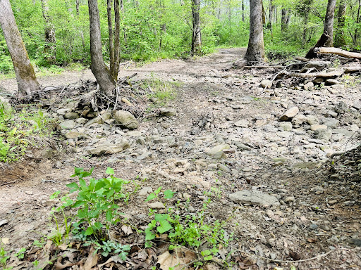
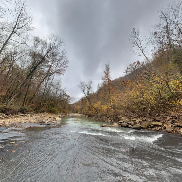
Hurricane Creek
Arkansas
5.0(1)
Save
spot
spot
Ratings & Description
Info
Outdoor
Adventure
Scenic
Family friendly
Pet friendly
Off the beaten path
attractions: , restaurants: , local businesses:
Plan your stay

Pet-friendly Hotels in Ozark
Find a cozy hotel nearby and make it a full experience.

Affordable Hotels in Ozark
Find a cozy hotel nearby and make it a full experience.

The Coolest Hotels You Haven't Heard Of (Yet)
Find a cozy hotel nearby and make it a full experience.

Trending Stays Worth the Hype in Ozark
Find a cozy hotel nearby and make it a full experience.
Reviews
Live events

Polar Bear Camp February 2026
Sat, Feb 14 • 12:00 AM
481 5th Street Saint Paul, AR 72760
View details

Arrival - The Music of ABBA
Fri, Feb 20 • 6:00 PM
Alma Performing Arts Center, 103 E Main St., Alma, United States
View details

Clean & Card Wool w/ Cecelia
Sat, Feb 21 • 9:00 AM
22733 N Highway 71, Winslow, AR, United States, Arkansas 72959
View details