Marys Peak things to do, attractions, restaurants, events info and trip planning

Basic Info
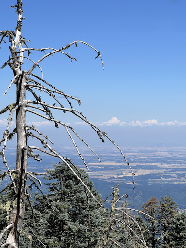
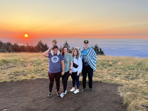
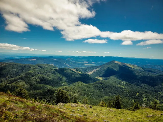
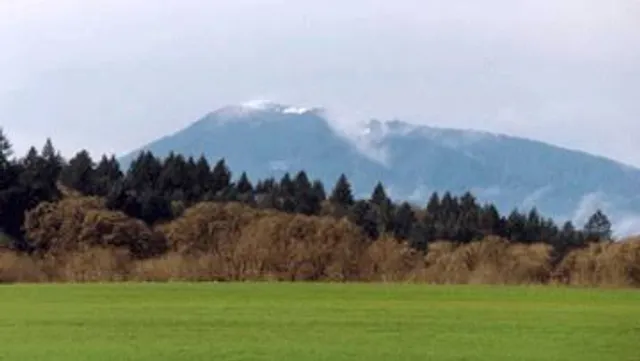
Marys Peak
Oregon 97370
4.9(134)
Save
spot
spot
Ratings & Description
Info
Outdoor
Adventure
Scenic
Family friendly
Pet friendly
attractions: Marys Peak Botanical Special Interest Area, restaurants: , local businesses: Marys Peak, Oregon Coast Range
Plan your stay

Pet-friendly Hotels in Philomath
Find a cozy hotel nearby and make it a full experience.

Affordable Hotels in Philomath
Find a cozy hotel nearby and make it a full experience.

The Coolest Hotels You Haven't Heard Of (Yet)
Find a cozy hotel nearby and make it a full experience.

Trending Stays Worth the Hype in Philomath
Find a cozy hotel nearby and make it a full experience.
Reviews
Live events

Local Community Debate: Student Use of Personal Electronics in School
Wed, Jan 28 • 6:00 PM
411 Southwest 2nd Street Corvallis, OR 97333
View details
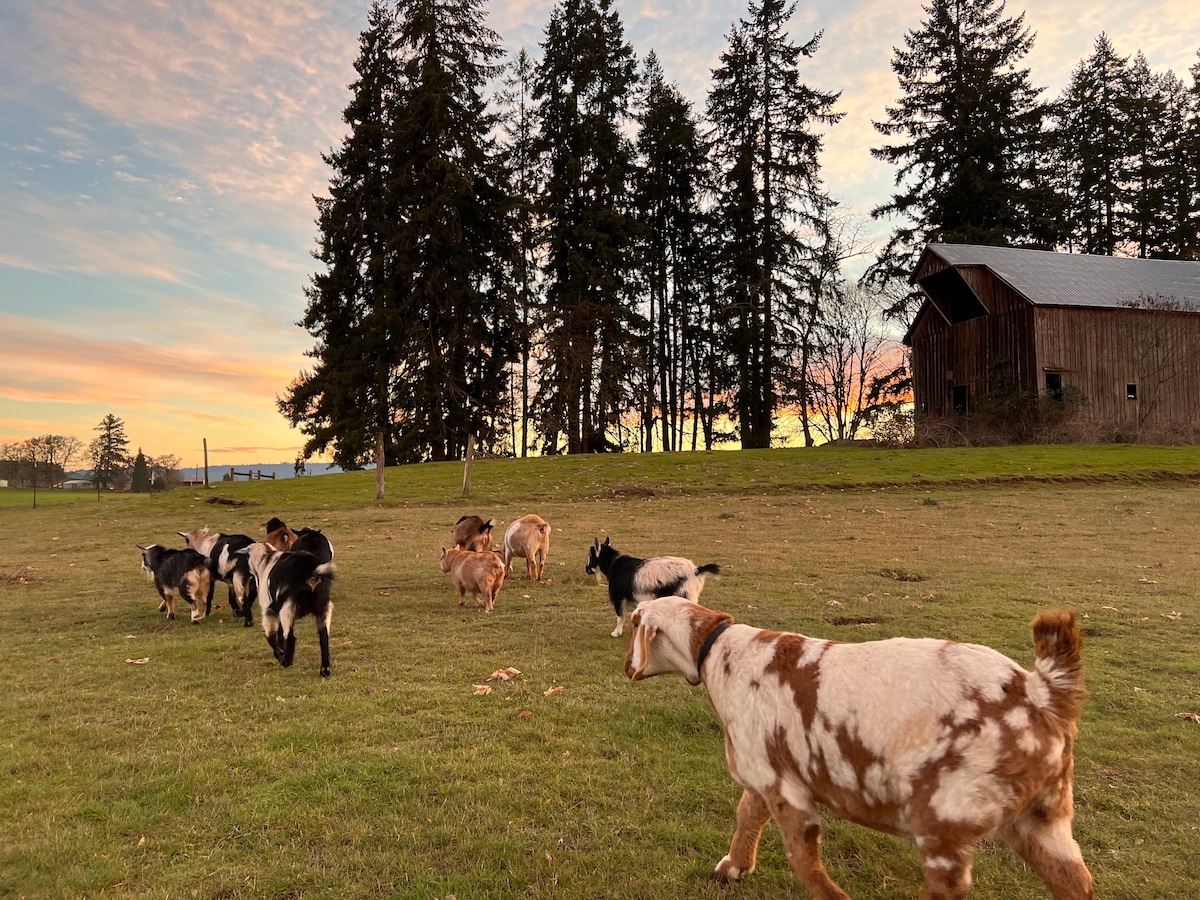
Join Goat Happy Hour
Mon, Jan 26 • 11:00 AM
Monroe, Oregon, 97456
View details
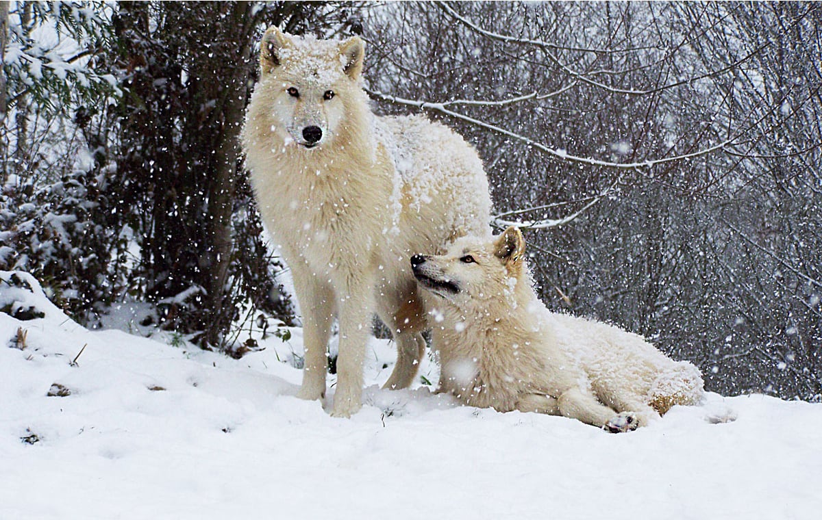
Howl with wolves at White Wolf Sanctuary
Sun, Jan 25 • 11:00 AM
Tidewater, Oregon, 97390
View details
Nearby attractions of Marys Peak
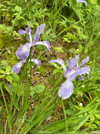
Marys Peak Botanical Special Interest Area
Marys Peak Botanical Special Interest Area
4.8
(298)
Open until 9:00 PM
Click for details
Nearby local services of Marys Peak
Marys Peak
Oregon Coast Range
Marys Peak
4.8
(102)
Click for details
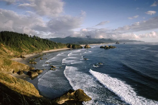
Oregon Coast Range
4.7
(13)
Click for details