Mount Magalloway things to do, attractions, restaurants, events info and trip planning
Basic Info
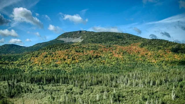
Mount Magalloway
Pittsburg, NH 03592
4.5(14)
Save
spot
spot
Ratings & Description
Info
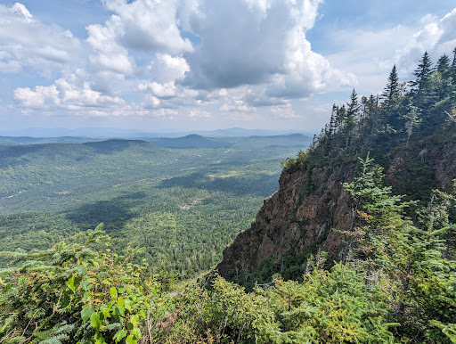
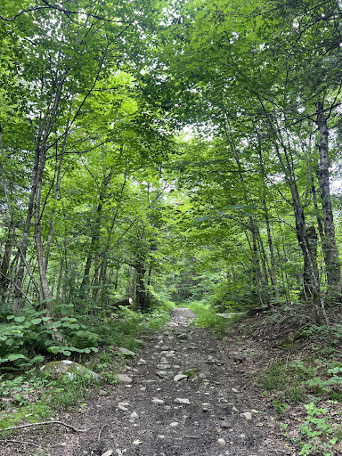
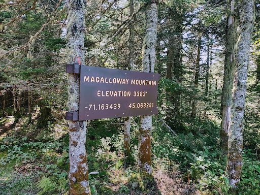
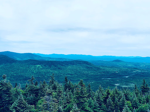
Mount Magalloway is a mountain in the Great North Woods region of New Hampshire in the United States. With a summit elevation of 3,383 feet, it is one of the tallest peaks in Pittsburg, the state's northernmost community.
Outdoor
Adventure
Scenic
attractions: , restaurants: , local businesses:
Plan your stay

Pet-friendly Hotels in Pittsburg
Find a cozy hotel nearby and make it a full experience.

Affordable Hotels in Pittsburg
Find a cozy hotel nearby and make it a full experience.

The Coolest Hotels You Haven't Heard Of (Yet)
Find a cozy hotel nearby and make it a full experience.

Trending Stays Worth the Hype in Pittsburg
Find a cozy hotel nearby and make it a full experience.
Reviews
Live events

Pittsburg Snowshoe Walk
Wed, Feb 25 • 10:00 AM
Points North Outfitters, 169 Day Rd,Pittsburg, New Hampshire, United States
View details