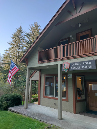
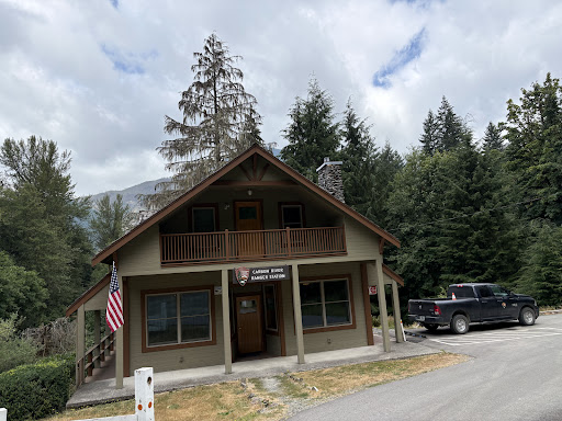
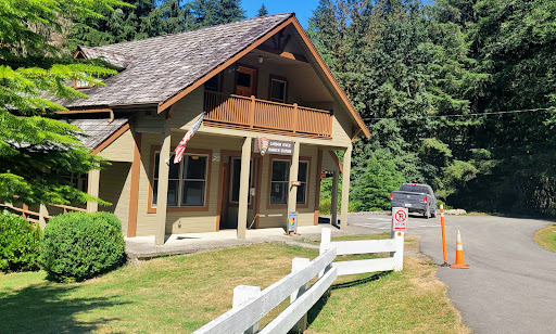
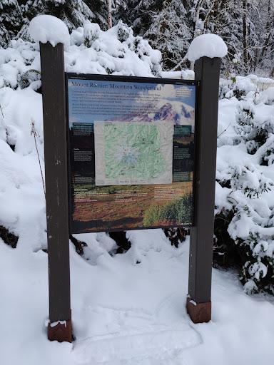
I am a local, a Washingtonian, and a frequenter. Many visitors from around the world visit this park, throughout the year, for many different reasons. Some picnic, hike, backpack, backcountry camp, mountain bike, mushroom pick, snowshoe, or winter camp. The staff is more likely to be apt and helpful to groups or individuals who respect, appreciate, and support the National Park Service, its lands, and the surrounding areas. I was first introduced to this area in 2002, when cars and fires were allowed at Ipsut Campground. (No longer allowed) Even then some visitors showed a lack of respect for the land, polluting, and poaching trees for firewood. Unfortunately, some of that still goes on today. This area is extremely rich in history, from logging to mining, with nearby Fairfax and Melmont ghost towns, and even abandoned mines within the Park. (Which explains The Washington Milling and Mining Co. mine, within the park.) Coal mining began in 1896, and the first shipment of coal left in 1899. The coke ovens are still visible in Wilkeson today. In 1891, the Forest Reserve Act was established. In 1893, the Pacific Forest Reserve was established. Then changed again in 1898, to the Mount Rainier Forest Reserve. This combined lands together, but not until 1899, with the signature of President McKinley, was the Mount Rainier National Park officially created. Many logging and mining companies struggled, and went bust after world war one. The introduction and demand of oil, decreased the demand of coal from this area. Soon afterwards, in 1920, Melmont, where the present day O'Farrell Bridge is, became a ghost town. Fairfax followed suit in 1941, after the Post Office closed. Interestingly, the bridge construction was not completed until 1921. This meant that in the past, the only way towards Mt. Rainier, other than by foot, was by passenger railcars. These once bustling logging and mining towns, are faintly visible along the present day Fairfax road (State Route 165). They leave behind remnants of their mortar foundations, water storage bunkers, schoolhouse swimming pool, railcar turntables, and even a community dump, where some hunt for antique treasures. In their glory days, these towns looked very similar to the historic buildings that still stand in Wilkeson today. Besides Mt Tahoma, later renamed Mt Rainier, and the Carbon Glacier, the Carbon river is a key attraction. Some say the glacial silt in the water, may hold nutritional value. The Carbon river is a braided river. This means that debris from the Carbon glacier, are constantly washing down river, changing the river's flow and route, and also depositing and damming up debris along the riverbeds. This is a major contributing factor to frequent trail washouts, because it is essentially one big debris slide. They say if you hear a sound similar to a freight train, that a moving lahar of this debris is heading downriver, and to quickly head for high ground! As you hike along the trail, you may see some of the stumps that still bear the springboard cutouts, the lumberjacks cut, so many years ago. Ask the Rangers. They are very helpful. Thanks...
Read more