Jonathan Run Falls things to do, attractions, restaurants, events info and trip planning
Basic Info
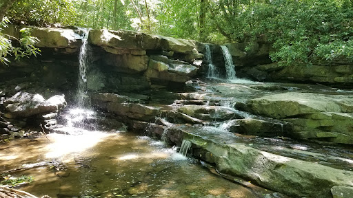
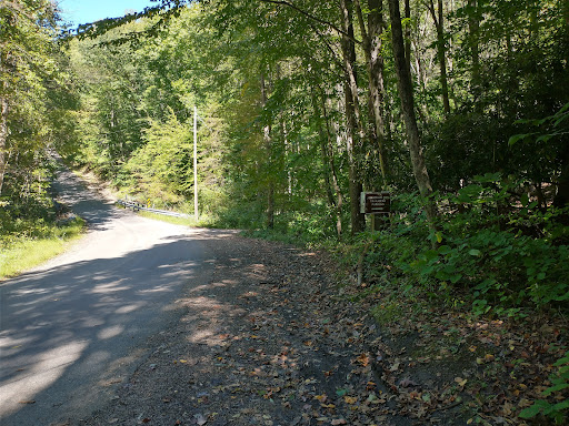
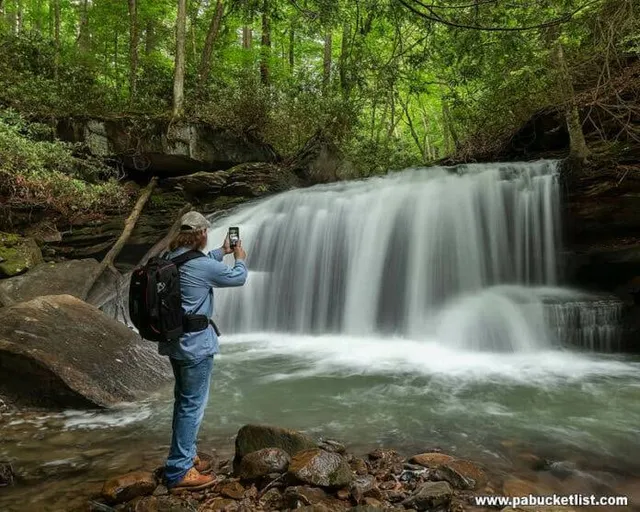
Jonathan Run Falls
Stewart Township, PA 15431
4.9(20)
Save
spot
spot
Ratings & Description
Info
Outdoor
Scenic
Adventure
Pet friendly
Off the beaten path
attractions: , restaurants: , local businesses: Sugar Run Falls
Plan your stay

Pet-friendly Hotels in Stewart Township
Find a cozy hotel nearby and make it a full experience.

Affordable Hotels in Stewart Township
Find a cozy hotel nearby and make it a full experience.

The Coolest Hotels You Haven't Heard Of (Yet)
Find a cozy hotel nearby and make it a full experience.

Trending Stays Worth the Hype in Stewart Township
Find a cozy hotel nearby and make it a full experience.
Reviews
Live events

Friday Galentine & Early Valentine Dinner at SanaView Farms Winery
Fri, Feb 13 • 4:00 PM
280 Roaring Run Road Champion, PA 15622
View details

PACCSA - Beginner lesson 12:45 pm, Feb 14 2026
Sat, Feb 14 • 12:45 PM
1101 Jim Mountain Road Rockwood, PA 15557
View details

Valentine’s Day Partner Massage Class
Sat, Feb 14 • 1:00 PM
633 West Main Street Mount Pleasant, PA 15666
View details
Nearby local services of Jonathan Run Falls
Sugar Run Falls
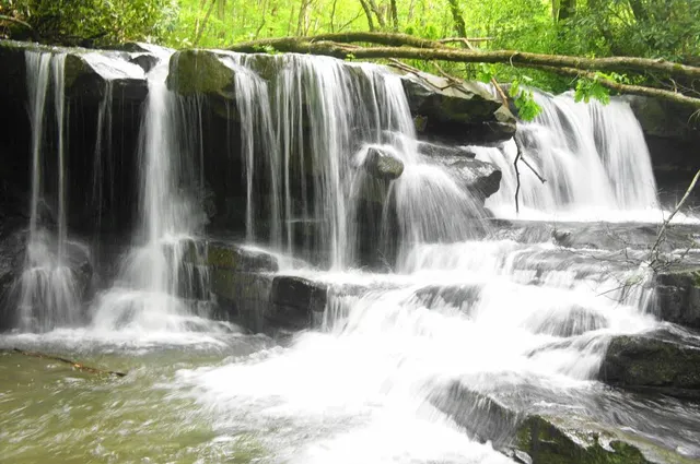
Sugar Run Falls
4.8
(9)
Click for details