Mt Whiteface things to do, attractions, restaurants, events info and trip planning
Basic Info
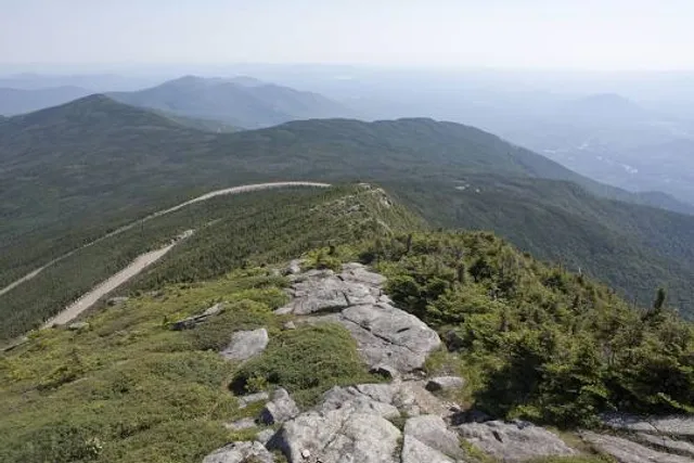
Mt Whiteface
Waterville Valley, NH 03259
4.9(26)
Save
spot
spot
Ratings & Description
Info
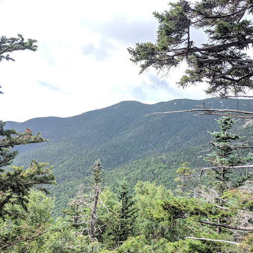
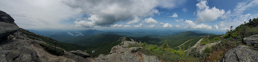
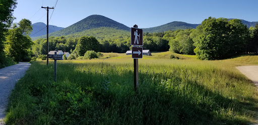
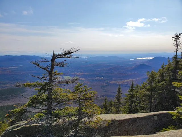
Outdoor
Adventure
Scenic
Off the beaten path
attractions: , restaurants: , local businesses: Mount Whiteface
Plan your stay

Pet-friendly Hotels in Waterville Valley
Find a cozy hotel nearby and make it a full experience.

Affordable Hotels in Waterville Valley
Find a cozy hotel nearby and make it a full experience.

The Coolest Hotels You Haven't Heard Of (Yet)
Find a cozy hotel nearby and make it a full experience.

Trending Stays Worth the Hype in Waterville Valley
Find a cozy hotel nearby and make it a full experience.
Reviews
Live events

Tuckerman Brewing Tour
Fri, Feb 13 • 5:00 PM
66 Hobbs Street Conway, NH 03818
View details

My Ride or Die Movie Screening
Fri, Feb 13 • 6:00 PM
41 Observatory Way Bartlett, NH 03845
View details

Coors Light Aprés Ski Party wth Live Music by DJ Brett
Sat, Feb 14 • 3:30 PM
1 Ski Area Rd, Waterville Valley, NH, United States, New Hampshire 03215
View details
Nearby local services of Mt Whiteface
Mount Whiteface
Mount Whiteface
4.8
(22)
Click for details