El Carbón Hill things to do, attractions, restaurants, events info and trip planning
Basic Info
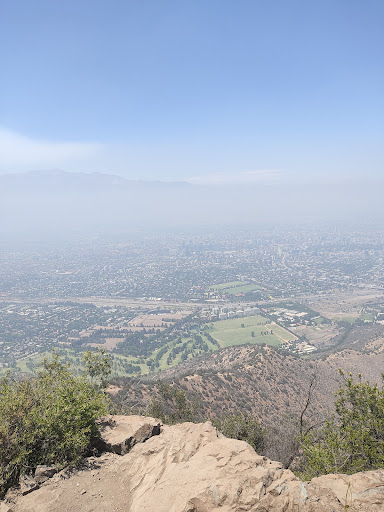
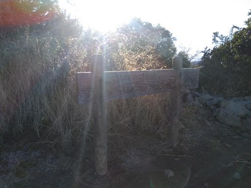
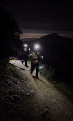
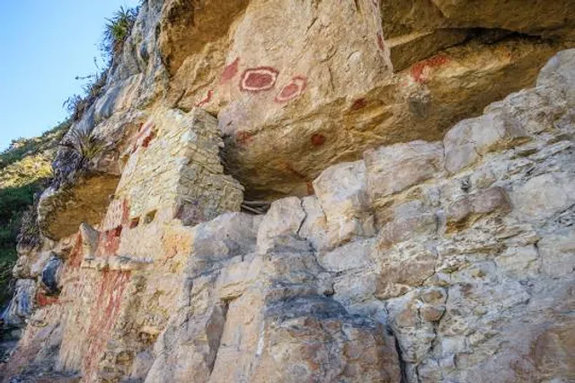
El Carbón Hill
Vitacura, Huechuraba, Santiago Metropolitan Region, Chile
4.8(566)
Open until 6:00 PM
Save
spot
spot
Ratings & Description
Info
Outdoor
Adventure
Scenic
Off the beaten path
Pet friendly
attractions: , restaurants: , local businesses:
Phone
+56 2 2730 1331
Website
parquemet.cl
Open hoursSee all hours
Thu10 AM - 6 PMOpen
Plan your stay

Pet-friendly Hotels in Huechuraba
Find a cozy hotel nearby and make it a full experience.

Affordable Hotels in Huechuraba
Find a cozy hotel nearby and make it a full experience.

The Coolest Hotels You Haven't Heard Of (Yet)
Find a cozy hotel nearby and make it a full experience.

Trending Stays Worth the Hype in Huechuraba
Find a cozy hotel nearby and make it a full experience.
Reviews
Live events
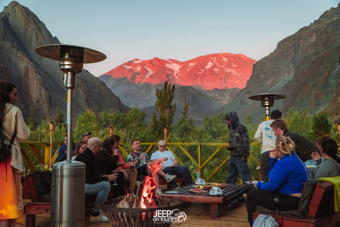
Explore Hot Spring in Andes Mountain whit Barbecue
Thu, Feb 12 • 2:30 PM
8320156, Santiago, Región Metropolitana, Chile
View details
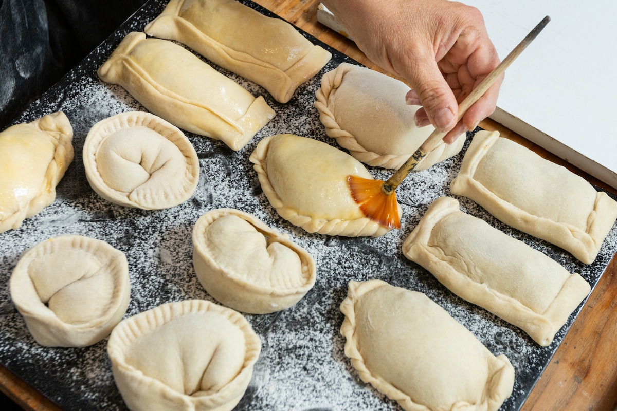
Prepare the famous empanada de pino
Sat, Feb 14 • 6:30 PM
7500000, Providencia, Santiago Metropolitan Region, Chile
View details
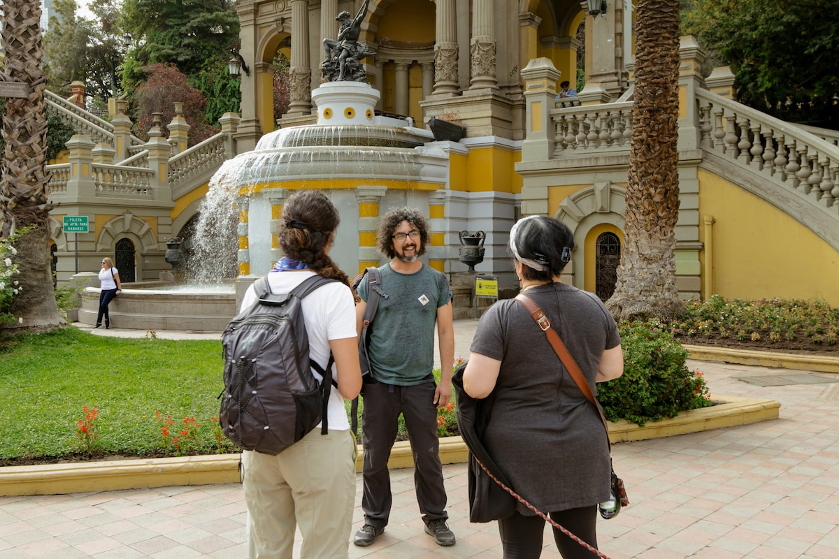
Santiago s History Walking Tour
Thu, Feb 12 • 3:45 PM
Santiago, Región Metropolitana, Chile
View details