Lauca National Park things to do, attractions, restaurants, events info and trip planning

Basic Info
Lauca National Park
Putre, Arica y Parinacota, Chile
4.6(727)
Open until 12:00 AM
Save
spot
spot
Ratings & Description
Info
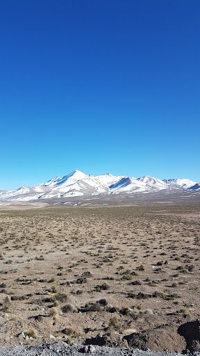
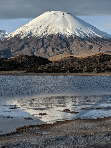
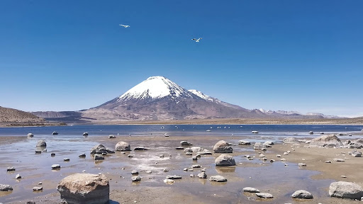
Lauca National Park is in the Andes mountains in the far north of Chile. In the northeast are the snow-capped volcanoes Pomerape and Parinacota. Nearby are the vast Chungará Lake and the wetlands of the Cotacotani Lagoon. West of the lagoon is the tiny town of Parinacota, with a 17th-century church. Jurasi Hot Springs are in the far west. The park is rich in wildlife including flamingos, rheas, llamas and alpacas.
Outdoor
Adventure
Scenic
Family friendly
Off the beaten path
attractions: , restaurants: , local businesses:
Phone
+56 58 258 5704
Website
conaf.cl
Open hoursSee all hours
SatOpen 24 hoursOpen
Plan your stay

Pet-friendly Hotels in Putre
Find a cozy hotel nearby and make it a full experience.

Affordable Hotels in Putre
Find a cozy hotel nearby and make it a full experience.

The Coolest Hotels You Haven't Heard Of (Yet)
Find a cozy hotel nearby and make it a full experience.

Trending Stays Worth the Hype in Putre
Find a cozy hotel nearby and make it a full experience.