Che Pau Teng - Rhino Rock Hiking Trail things to do, attractions, restaurants, events info and trip planning

Basic Info
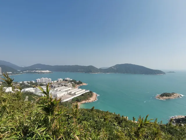
Che Pau Teng - Rhino Rock Hiking Trail
Wong Ma Kok Rd, Stanley, Hong Kong
4.3(172)
Open until 12:00 AM
Save
spot
spot
Ratings & Description
Info
Outdoor
Adventure
Scenic
Off the beaten path
Pet friendly
attractions: Stanley Fort, St. Stephen's Beach, Stanley Mosque, restaurants: , local businesses: Stanley Military Cemetery
Open hoursSee all hours
TueOpen 24 hoursOpen
Plan your stay

Pet-friendly Hotels in Hong Kong
Find a cozy hotel nearby and make it a full experience.

Affordable Hotels in Hong Kong
Find a cozy hotel nearby and make it a full experience.

The Coolest Hotels You Haven't Heard Of (Yet)
Find a cozy hotel nearby and make it a full experience.

Trending Stays Worth the Hype in Hong Kong
Find a cozy hotel nearby and make it a full experience.
Reviews
Live events
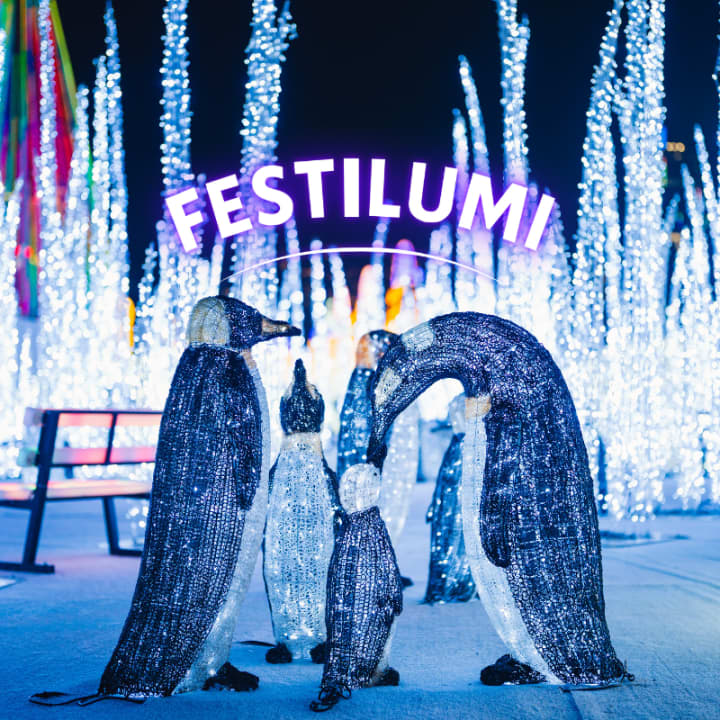
Festilumi - 香港
Tue, Jan 27 • 6:00 PM
3 Hung Hing Rd, Wan Chai, 00000
View details

Hong Kong Murder Mystery 2: Crime on Date Night!
Fri, Jan 23 • 12:00 AM
Chung Kong Rd, Sheung Wan, 999077
View details
维多利亚山顶参加语音导览,经半山扶手电梯登上山顶
Tue, Jan 27 • 12:00 AM
中環租庇利街
View details
Nearby attractions of Che Pau Teng - Rhino Rock Hiking Trail
Stanley Fort
St. Stephen's Beach
Stanley Mosque
Stanley Fort
3.9
(98)
Open until 12:00 AM
Click for details
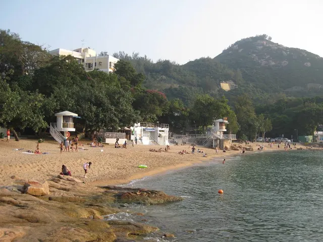
St. Stephen's Beach
4.2
(554)
Open 24 hours
Click for details
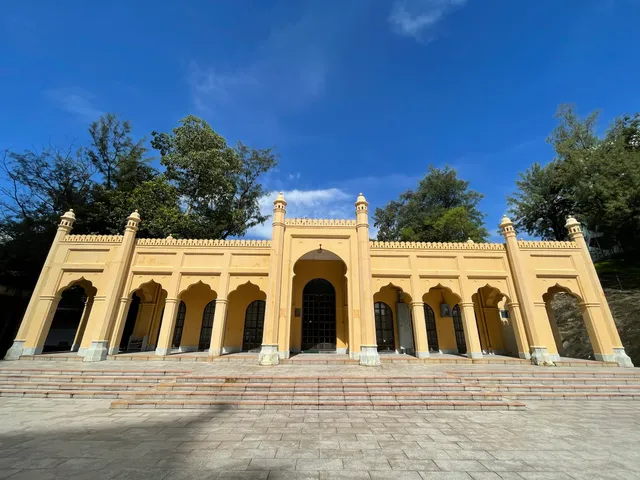
Stanley Mosque
4.0
(36)
Open 24 hours
Click for details
Nearby local services of Che Pau Teng - Rhino Rock Hiking Trail
Stanley Military Cemetery

Stanley Military Cemetery
4.6
(39)
Click for details