Ma On Shan Country Trail (Starting Point) things to do, attractions, restaurants, events info and trip planning
Basic Info
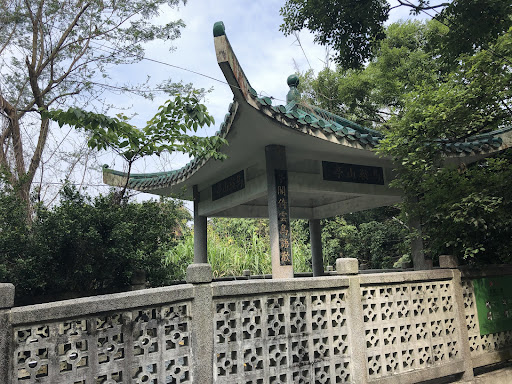
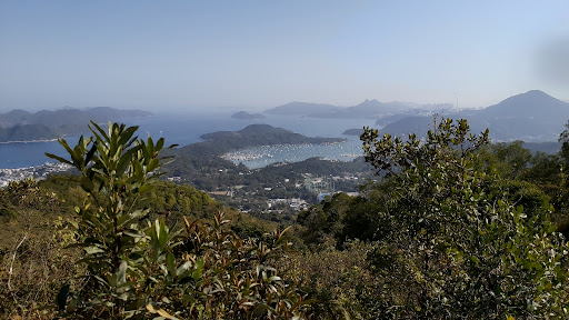
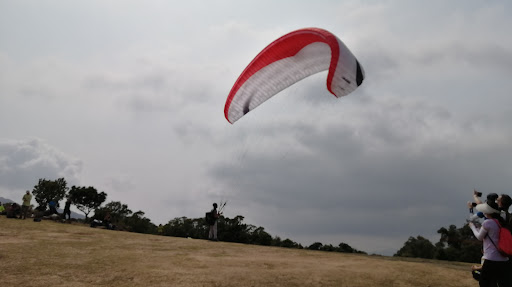
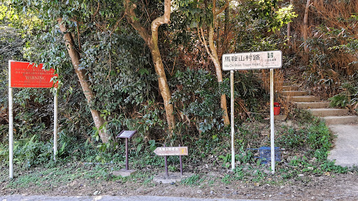
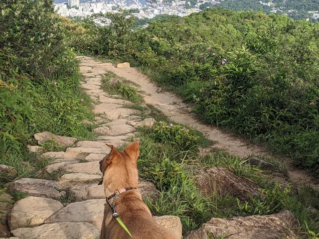
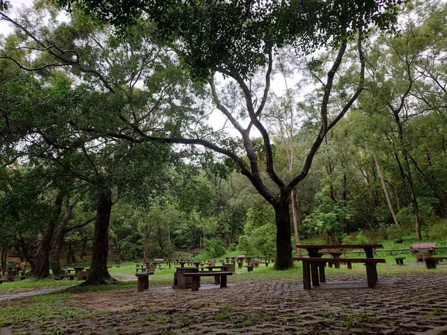
Ma On Shan Country Trail (Starting Point)
Ma On Shan Country Trail, Sai Kung, Hong Kong
4.3(84)
Open until 12:00 AM
Save
spot
spot
Ratings & Description
Info
Outdoor
Adventure
Scenic
Off the beaten path
attractions: Mining Heritage Centre, ELCHK Grace Youth Camp, restaurants: , local businesses: Ma On Shan Country Park BBQ site
Website
hikingbook.net
Open hoursSee all hours
WedOpen 24 hoursOpen
Plan your stay

Pet-friendly Hotels in Hong Kong
Find a cozy hotel nearby and make it a full experience.

Affordable Hotels in Hong Kong
Find a cozy hotel nearby and make it a full experience.

The Coolest Hotels You Haven't Heard Of (Yet)
Find a cozy hotel nearby and make it a full experience.

Trending Stays Worth the Hype in Hong Kong
Find a cozy hotel nearby and make it a full experience.
Reviews
Live events
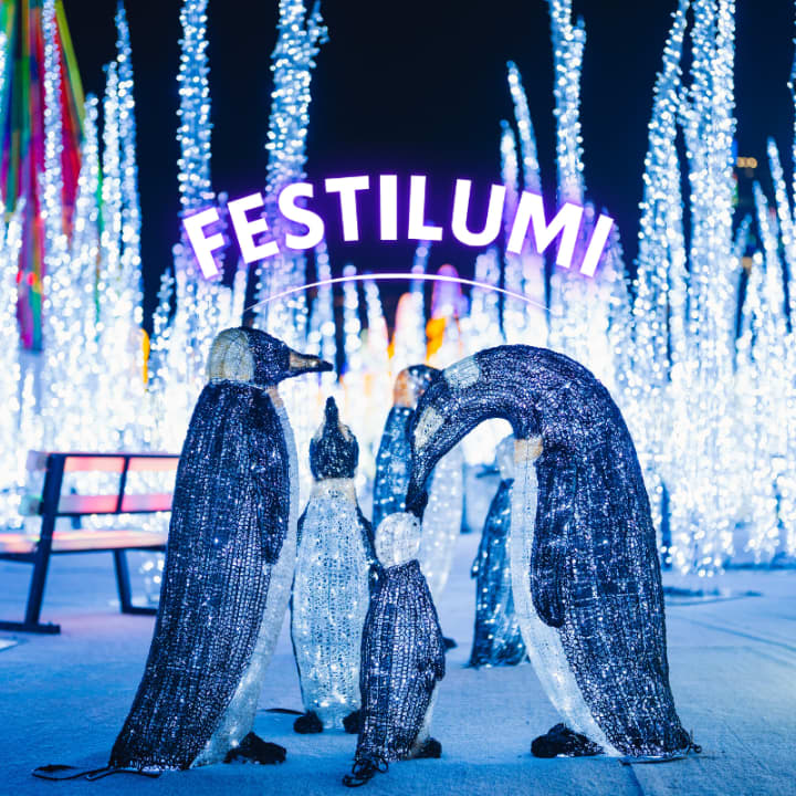
Festilumi - 香港
Wed, Feb 25 • 7:00 PM
3 Hung Hing Rd, Wan Chai, 00000
View details
Hong Kong Detective Game: Join the Secret Society!
Sun, Feb 1 • 12:00 AM
Statue Square, Des Voeux Rd Central, Central, Hong Kong, 75J5+CW
View details
维多利亚山顶参加语音导览,经半山扶手电梯登上山顶
Wed, Feb 25 • 12:00 AM
中環租庇利街
View details
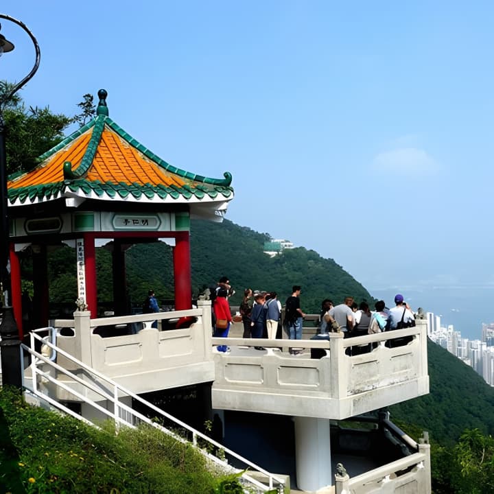
Nearby attractions of Ma On Shan Country Trail (Starting Point)
Mining Heritage Centre, ELCHK Grace Youth Camp

Mining Heritage Centre, ELCHK Grace Youth Camp
4.2
(222)
Open until 12:00 AM
Click for details
Nearby local services of Ma On Shan Country Trail (Starting Point)
Ma On Shan Country Park BBQ site
Ma On Shan Country Park BBQ site
4.1
(206)
Click for details