Suicide Cliff things to do, attractions, restaurants, events info and trip planning
Basic Info
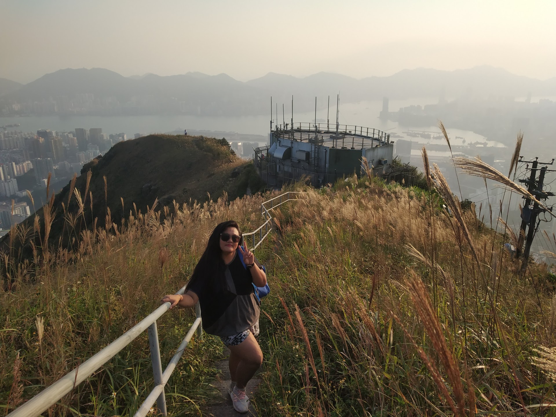
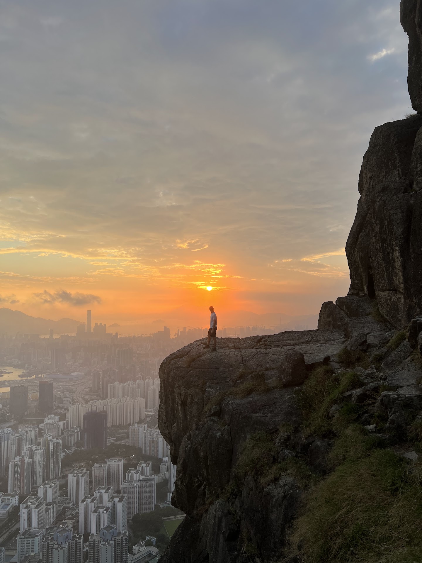
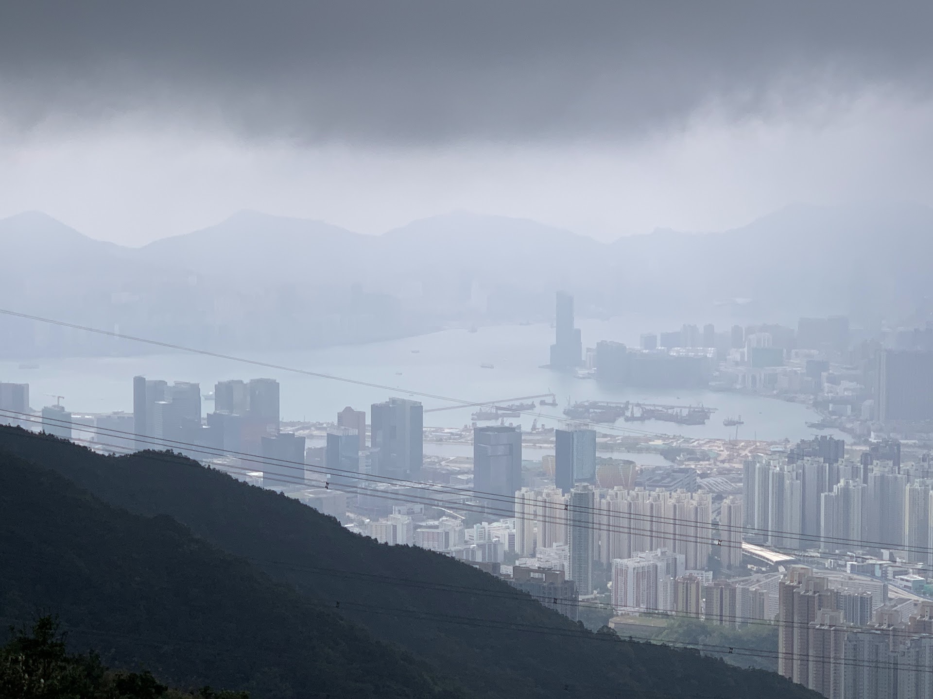
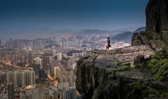
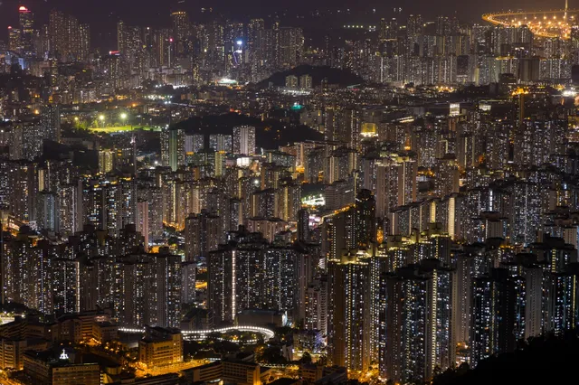
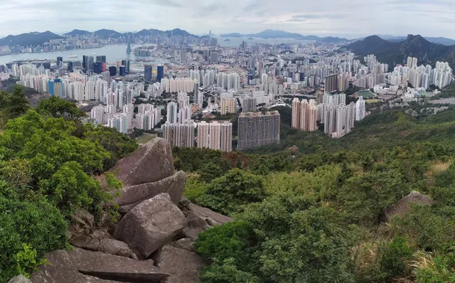
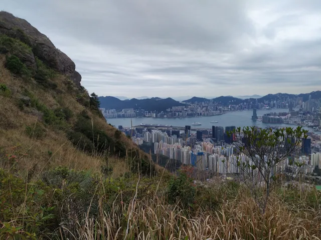
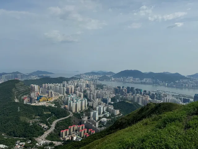
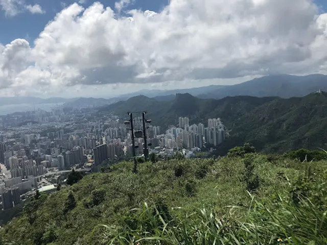
Suicide Cliff
Kowloon Peak, Clear Water Bay, Hong Kong
4.6(372)
Open until 12:00 AM
Save
spot
spot
Ratings & Description
Info
Outdoor
Adventure
Scenic
Off the beaten path
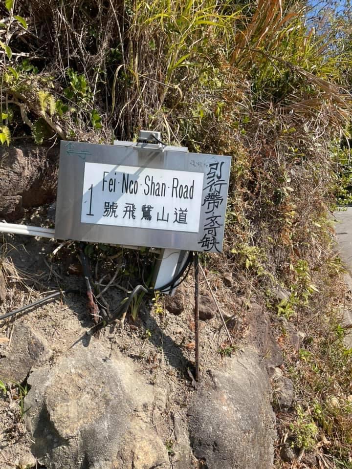
attractions: Kowloon Peak (602m), Kowloon Peak Trigonometrical Station, Heaven Sword Mountain Ridge, Kowloon Peak, Tomb of Sun Yat-sen's Mother, restaurants: Cafe de Coral, Shing Fat Restaurant, Fairwood, 順利邨, local businesses: Kowloon Peak Television and Radio Transmission Station 飛鵝山電視及電台發射站, Kowloon Peak (Fei Ngo Shan), Kowloon Peak, Scenic View, Pak Fa Lam, Ngau Chi Wan Park
Open hoursSee all hours
TueOpen 24 hoursOpen
Plan your stay

Pet-friendly Hotels in Hong Kong
Find a cozy hotel nearby and make it a full experience.

Affordable Hotels in Hong Kong
Find a cozy hotel nearby and make it a full experience.

The Coolest Hotels You Haven't Heard Of (Yet)
Find a cozy hotel nearby and make it a full experience.

Trending Stays Worth the Hype in Hong Kong
Find a cozy hotel nearby and make it a full experience.
Reviews
Live events
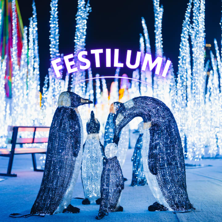
Festilumi - 香港
Tue, Feb 24 • 7:00 PM
3 Hung Hing Rd, Wan Chai, 00000
View details
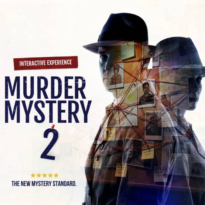
Hong Kong Murder Mystery 2: Crime on Date Night!
Sun, Mar 1 • 12:00 AM
Chung Kong Rd, Sheung Wan, 999077
View details
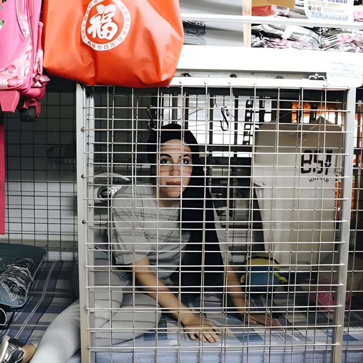
香港的黑暗面 - 九龙笼屋漫步之旅
Tue, Feb 24 • 11:00 AM
太子彌敦道
View details
Nearby attractions of Suicide Cliff
Kowloon Peak (602m)
Kowloon Peak Trigonometrical Station
Heaven Sword Mountain Ridge, Kowloon Peak
Tomb of Sun Yat-sen's Mother
Kowloon Peak (602m)
4.7
(37)
Open 24 hours
Click for details
Kowloon Peak Trigonometrical Station
4.5
(10)
Open until 12:00 AM
Click for details
Heaven Sword Mountain Ridge, Kowloon Peak
4.6
(29)
Open until 12:00 AM
Click for details
Tomb of Sun Yat-sen's Mother
4.0
(26)
Open until 12:00 AM
Click for details
Nearby restaurants of Suicide Cliff
Cafe de Coral
Shing Fat Restaurant
Fairwood
順利邨
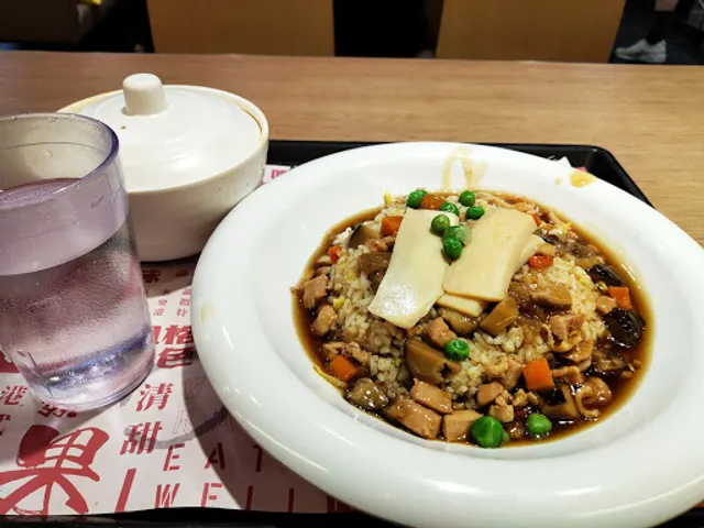
Cafe de Coral
3.2
(262)
Closed
Click for details
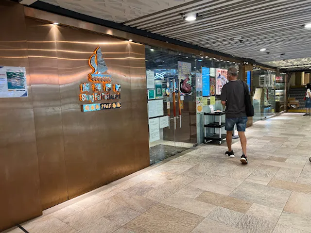
Shing Fat Restaurant
3.2
(148)
Closed
Click for details
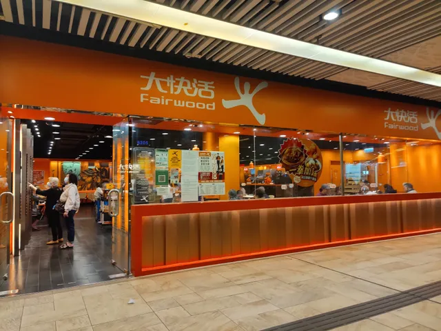
Fairwood
3.6
(133)
Closed
Click for details
順利邨
5.0
(1)
Click for details
Nearby local services of Suicide Cliff
Kowloon Peak Television and Radio Transmission Station 飛鵝山電視及電台發射站
Kowloon Peak (Fei Ngo Shan)
Kowloon Peak
Scenic View
Pak Fa Lam
Ngau Chi Wan Park
Kowloon Peak Television and Radio Transmission Station 飛鵝山電視及電台發射站
4.3
(74)
Click for details
Kowloon Peak (Fei Ngo Shan)
4.3
(27)
Click for details

Kowloon Peak
4.4
(141)
Click for details
Scenic View
4.1
(66)
Click for details