Lighthouse of Port Navalo things to do, attractions, restaurants, events info and trip planning
Basic Info
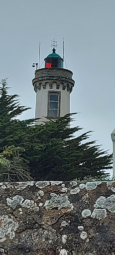
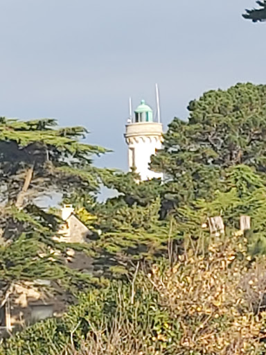
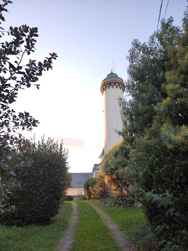
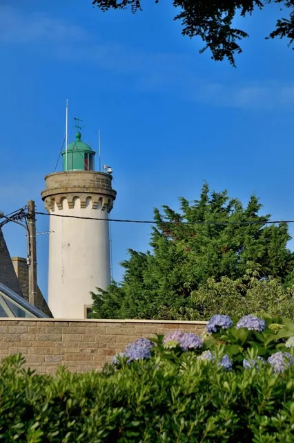
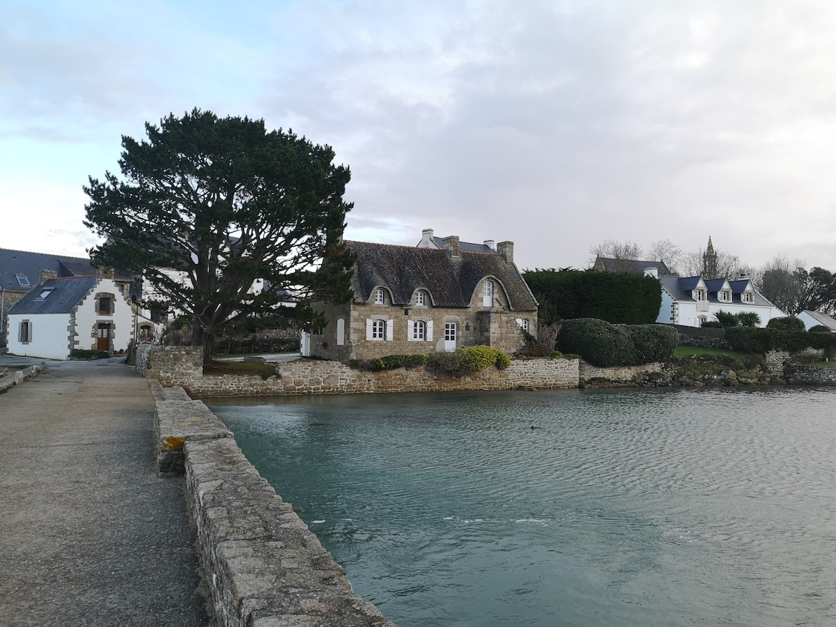
Lighthouse of Port Navalo
Rue du Phare, 56640 Arzon, France
4.5(1.0K)
Open 24 hours
Save
spot
spot
Ratings & Description
Info
Outdoor
Family friendly
attractions: , restaurants: Côté Mer, Le Grand Largue, Le P'tit Zeph, Bar de la Plage, Le Boucanier, Ty Prenn, Le Nausicaa, Restaurant Le Marin, Le Petit Port'Na, local businesses: Plage de Port Blanc, Plage de Port-Sable
Plan your stay

Pet-friendly Hotels in Vannes
Find a cozy hotel nearby and make it a full experience.

Affordable Hotels in Vannes
Find a cozy hotel nearby and make it a full experience.

The Coolest Hotels You Haven't Heard Of (Yet)
Find a cozy hotel nearby and make it a full experience.

Trending Stays Worth the Hype in Vannes
Find a cozy hotel nearby and make it a full experience.
Reviews
Live events
Saint Cado: the mythical island
Thu, Feb 26 • 10:00 PM
56550, Belz, France
View details
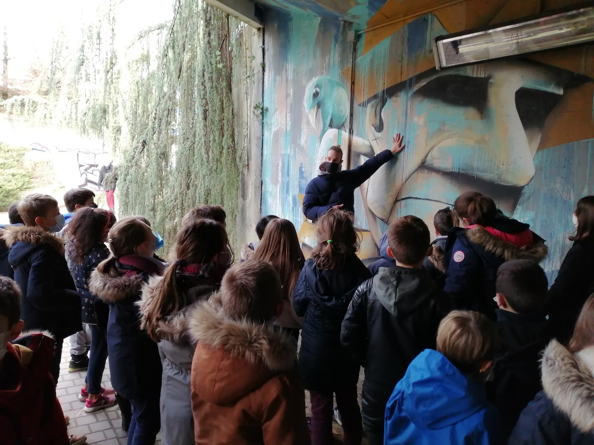
Urban Art in Vannes with an Artist
Fri, Feb 27 • 10:00 AM
56000, Vannes, France
View details

Concert Yannick Noah au Mezo
Fri, Feb 27 • 9:00 PM
Domaine Le Mezo, Baden, France
View details
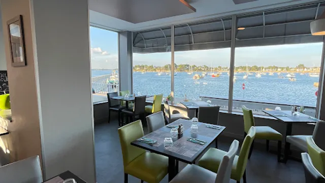
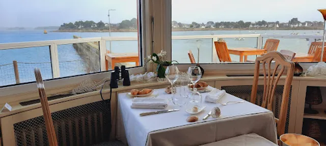
Nearby restaurants of Lighthouse of Port Navalo
Côté Mer
Le Grand Largue
Le P'tit Zeph
Bar de la Plage
Le Boucanier
Ty Prenn
Le Nausicaa
Restaurant Le Marin
Le Petit Port'Na
Côté Mer
3.9
(493)
$$
Closed
Click for details
Le Grand Largue
4.3
(263)
Closed
Click for details
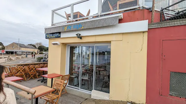
Le P'tit Zeph
4.1
(280)
Closed
Click for details
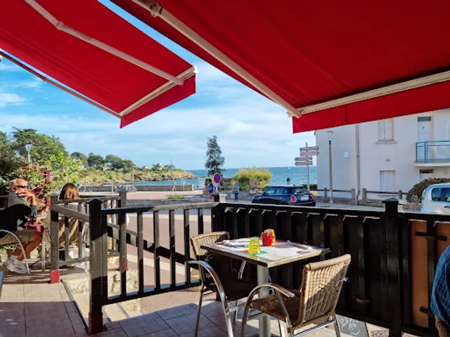
Bar de la Plage
4.2
(341)
Open until 12:00 AM
Click for details
Nearby local services of Lighthouse of Port Navalo
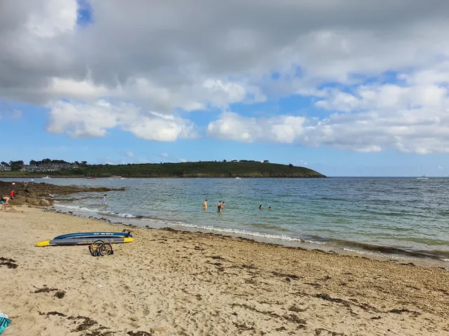
Plage de Port Blanc
Plage de Port-Sable
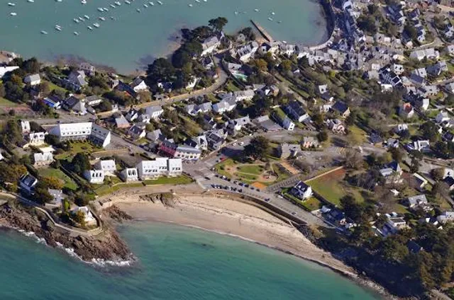
Plage de Port Blanc
4.6
(547)
Click for details
Plage de Port-Sable
4.5
(48)
Click for details