Rastenbachklamm things to do, attractions, restaurants, events info and trip planning
Basic Info
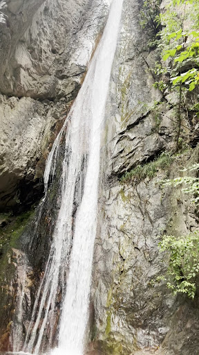
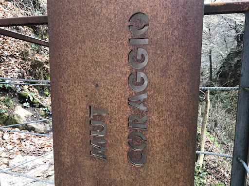
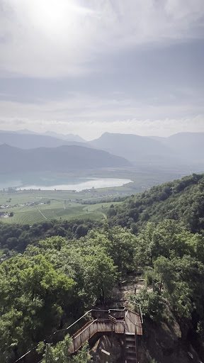
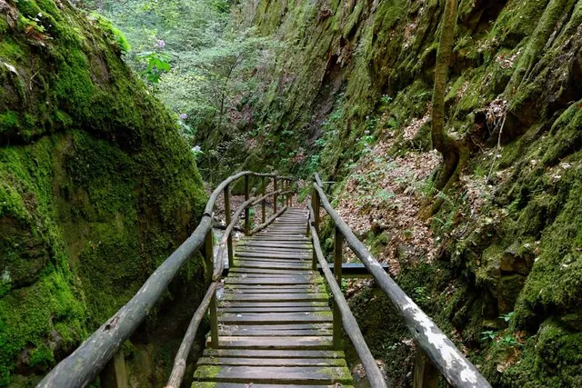
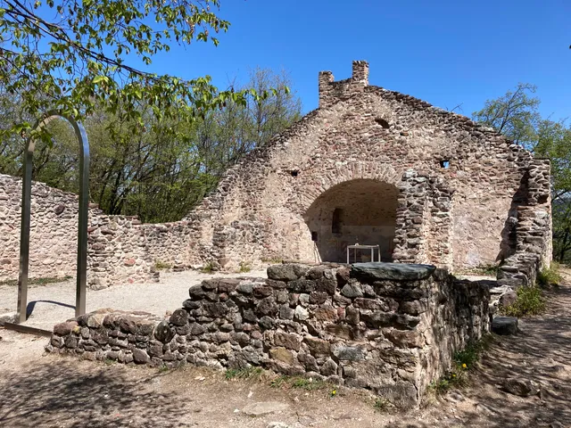
Rastenbachklamm
39052 Altenburg, Autonomous Province of Bolzano – South Tyrol, Italy
4.7(846)
Open until 12:00 AM
Save
spot
spot
Ratings & Description
Info
Outdoor
Adventure
Scenic
Family friendly
Pet friendly
Off the beaten path
attractions: San Pietro a Castelvecchio, Tenuta Dominikus, restaurants: RISTORANTE PIZZERIA ALTENBURGERHOF, Waldschenke Kaltern, local businesses:
Phone
+39 0471 963169
Website
rastenbachklamm.it
Open hoursSee all hours
MonOpen 24 hoursOpen
Plan your stay

Pet-friendly Hotels in Überetsch-Unterland - Oltradige-Bassa Atesina
Find a cozy hotel nearby and make it a full experience.

Affordable Hotels in Überetsch-Unterland - Oltradige-Bassa Atesina
Find a cozy hotel nearby and make it a full experience.

The Coolest Hotels You Haven't Heard Of (Yet)
Find a cozy hotel nearby and make it a full experience.

Trending Stays Worth the Hype in Überetsch-Unterland - Oltradige-Bassa Atesina
Find a cozy hotel nearby and make it a full experience.
Reviews
Live events
Bozen Food Tour with a Local - Full Meal
Tue, Feb 24 • 11:00 AM
39100, Bolzano, Trentino-South Tyrol, Italy
View details

NOSTALGIA CANAGLIA - Workshop artistico ostalgico con Alis Dot
Thu, Feb 26 • 6:30 PM
34 Corso Italia 39100 Bolzano
View details

Laboratorio didattico: Piccoli artigiani per un giorno
Fri, Feb 27 • 5:30 PM
28 Via dei Cappuccini, 39100 Bolzano
View details
Nearby attractions of Rastenbachklamm
San Pietro a Castelvecchio
Tenuta Dominikus
San Pietro a Castelvecchio
4.6
(45)
Open until 12:00 AM
Click for details

Tenuta Dominikus
4.9
(109)
Open 24 hours
Click for details
Nearby restaurants of Rastenbachklamm
RISTORANTE PIZZERIA ALTENBURGERHOF
Waldschenke Kaltern
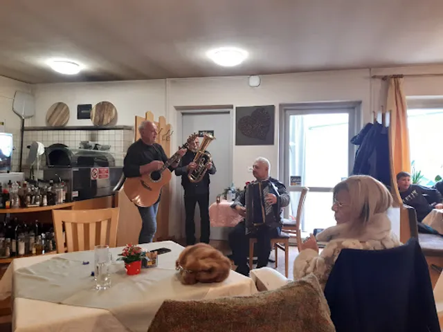
RISTORANTE PIZZERIA ALTENBURGERHOF
4.4
(416)
Open until 10:00 PM
Click for details
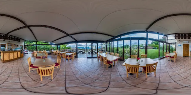
Waldschenke Kaltern
4.5
(171)
Click for details