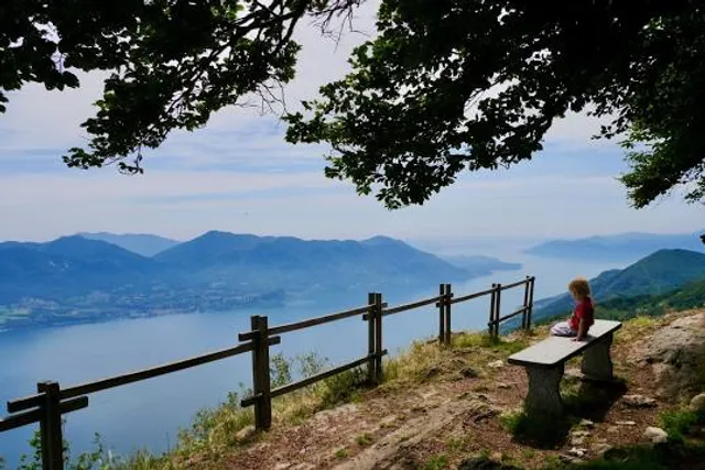
Monte Morissolo things to do, attractions, restaurants, events info and trip planning
Basic Info
Monte Morissolo
28824 Piancavallo, Province of Verbano-Cusio-Ossola, Italy
4.8(130)
Open until 12:00 AM
Save
spot
spot
Ratings & Description
Info
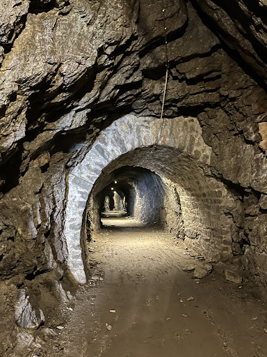
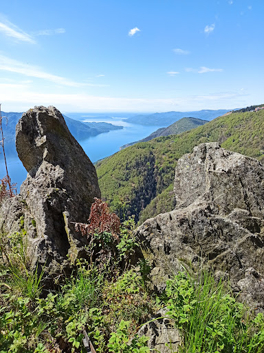
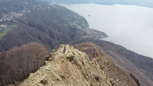
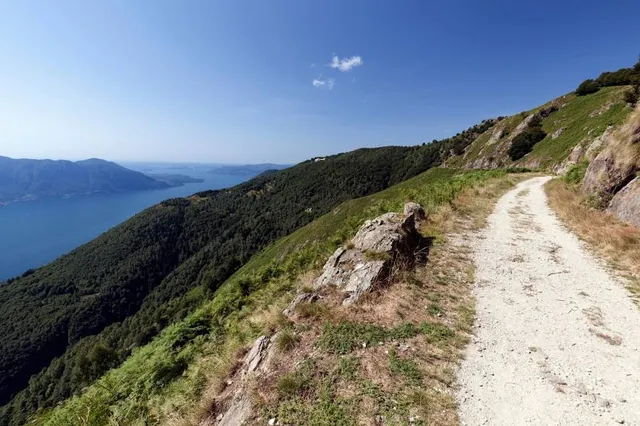
Outdoor
Adventure
Scenic
Off the beaten path
attractions: , restaurants: , local businesses: Cima di Morissolo
Open hoursSee all hours
FriOpen 24 hoursOpen
Plan your stay

Pet-friendly Hotels in Cannero Riviera
Find a cozy hotel nearby and make it a full experience.

Affordable Hotels in Cannero Riviera
Find a cozy hotel nearby and make it a full experience.

The Coolest Hotels You Haven't Heard Of (Yet)
Find a cozy hotel nearby and make it a full experience.

Trending Stays Worth the Hype in Cannero Riviera
Find a cozy hotel nearby and make it a full experience.
Reviews
Live events
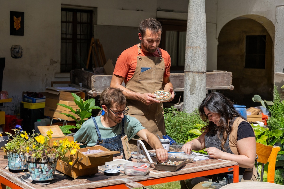
Create mosaic art in a little artistic village
Sat, Feb 21 • 9:30 AM
21030, Brenta, Lombardy, Italy
View details
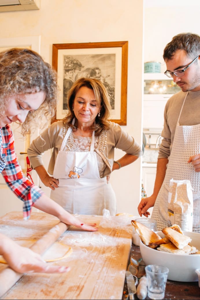
Learn pasta and tiramisu in Stresa
Sat, Feb 21 • 10:00 AM
28838, Stresa, Piedmont, Italy
View details
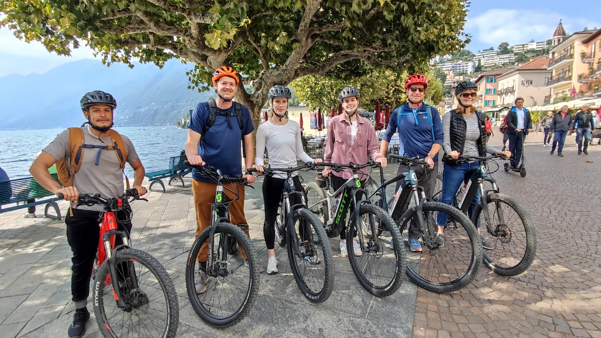
Scenic Locarno, Ascona and Lake Maggiore bike tour
Sat, Feb 21 • 9:00 AM
6600, Locarno, Switzerland
View details
Nearby local services of Monte Morissolo
Cima di Morissolo
Cima di Morissolo
4.9
(30)
Click for details