Rocca Montis Dragonis things to do, attractions, restaurants, events info and trip planning

Basic Info
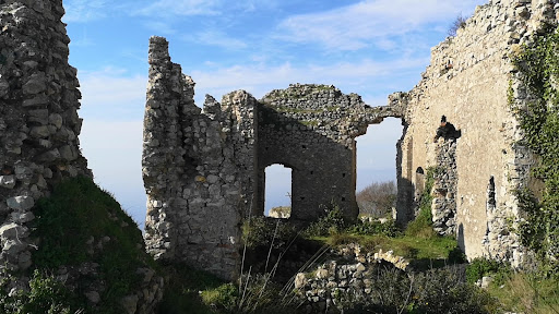
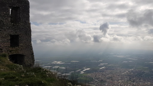
Rocca Montis Dragonis
81034 Mondragone, Province of Caserta, Italy
4.7(67)
Open 24 hours
Save
spot
spot
Ratings & Description
Info
Cultural
Outdoor
Scenic
Adventure
attractions: Il sentiero degli dei casertano, restaurants: Villa Petrinum, local businesses:
Website
fondoambiente.it
Plan your stay

Pet-friendly Hotels in Mondragone
Find a cozy hotel nearby and make it a full experience.

Affordable Hotels in Mondragone
Find a cozy hotel nearby and make it a full experience.

The Coolest Hotels You Haven't Heard Of (Yet)
Find a cozy hotel nearby and make it a full experience.

Trending Stays Worth the Hype in Mondragone
Find a cozy hotel nearby and make it a full experience.
Reviews
Live events
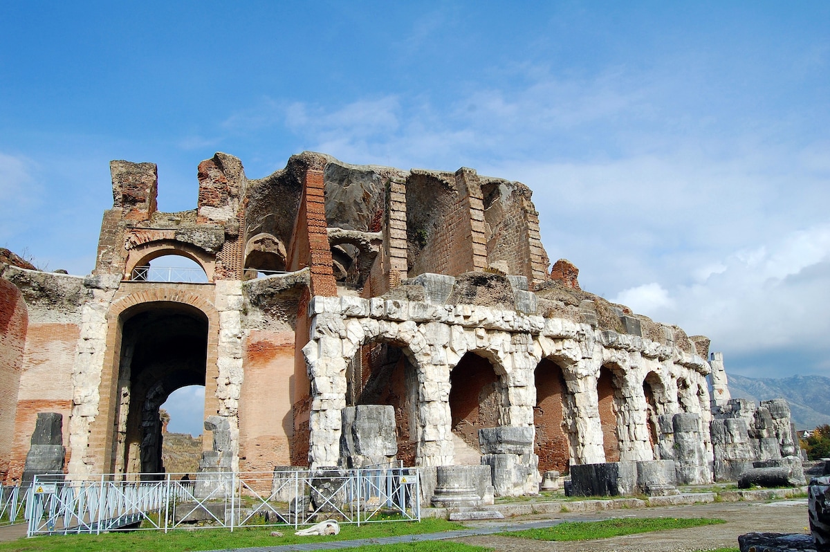
Ammira l anfiteatro campano
Tue, Feb 10 • 10:30 AM
81055, Santa Maria Capua Vetere, Campania, Italy
View details
Nearby attractions of Rocca Montis Dragonis
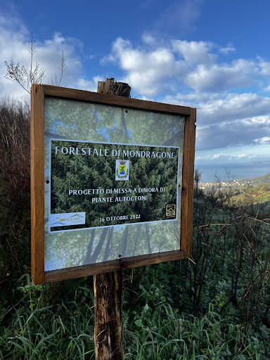
Il sentiero degli dei casertano
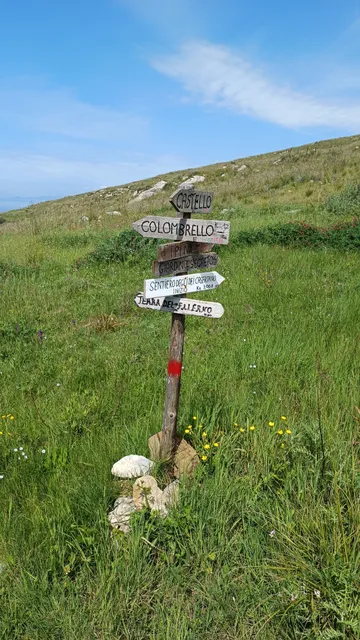
Il sentiero degli dei casertano
4.7
(15)
Open until 12:00 AM
Click for details
Nearby restaurants of Rocca Montis Dragonis
Villa Petrinum
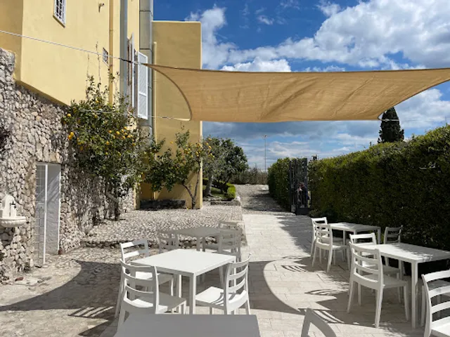
Villa Petrinum
4.8
(68)
Open until 12:00 AM
Click for details