Noto Antica things to do, attractions, restaurants, events info and trip planning
Basic Info
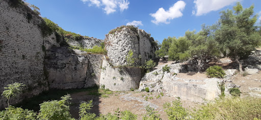
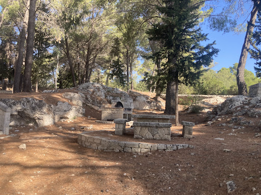
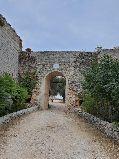
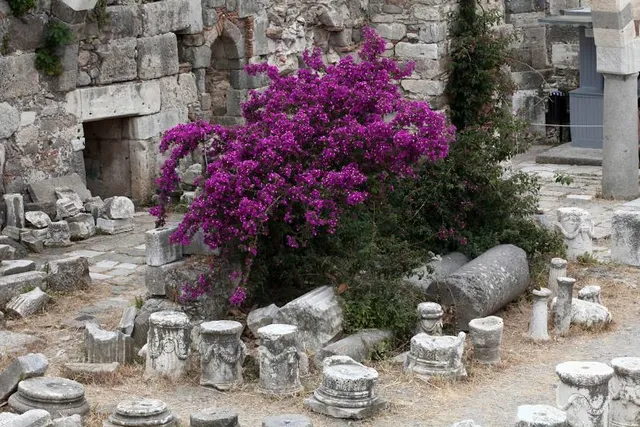
Noto Antica
Monte Alveria, SP64, 96017 Noto SR, Italy
4.3(567)
Open until 12:00 AM
Save
spot
spot
Ratings & Description
Info
Cultural
Outdoor
Scenic
Family friendly
attractions: , restaurants: , local businesses:
Phone
+39 339 481 6218
Website
hermes-sicily.com
Open hoursSee all hours
FriOpen 24 hoursOpen
Plan your stay

Pet-friendly Hotels in Noto
Find a cozy hotel nearby and make it a full experience.

Affordable Hotels in Noto
Find a cozy hotel nearby and make it a full experience.

The Coolest Hotels You Haven't Heard Of (Yet)
Find a cozy hotel nearby and make it a full experience.

Trending Stays Worth the Hype in Noto
Find a cozy hotel nearby and make it a full experience.
Reviews
Live events
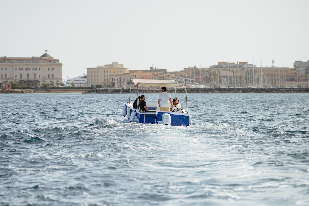
Explore marine caves and syracuse
Sat, Feb 21 • 10:00 AM
96100, Syracuse, Sicily, Italy
View details
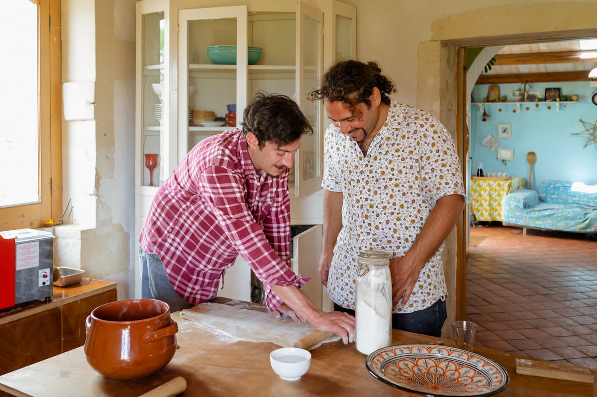
Slowlife Family Farm Cook With Us - Farm To Table
Tue, Feb 24 • 9:30 AM
96017, Noto, Sicily, Italy
View details

Discovering Ragusa Baroque
Fri, Feb 20 • 3:00 PM
97100, Ragusa, Sicily, Italy
View details