Tateishisan things to do, attractions, restaurants, events info and trip planning
Basic Info
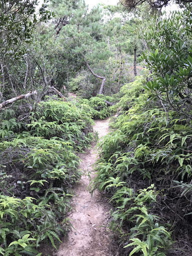
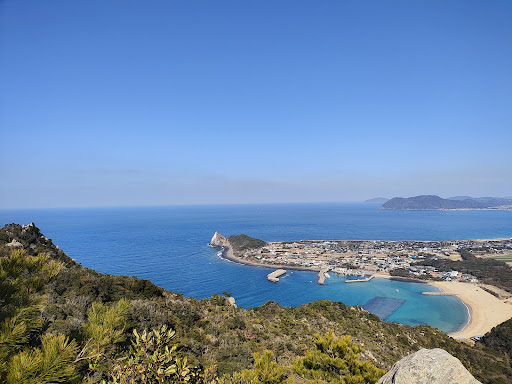
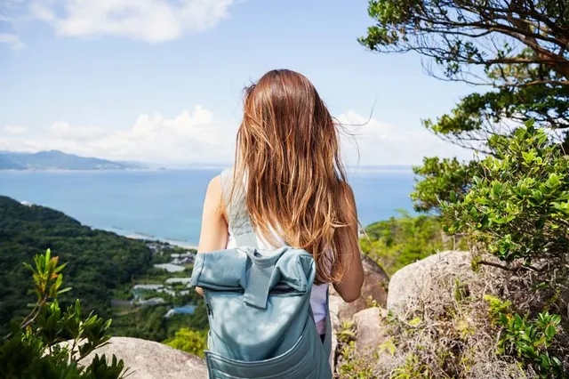
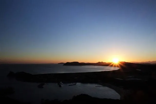
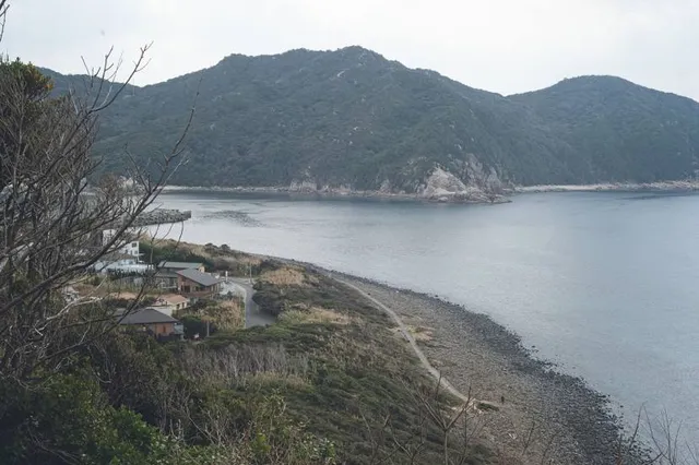
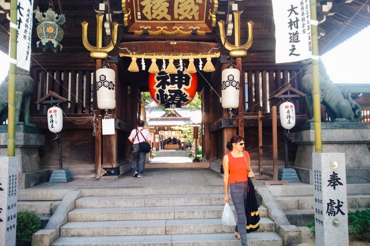
Tateishisan
Shimakeya, Itoshima, Fukuoka 819-1335, Japan
4.6(108)
Open 24 hours
Save
spot
spot
Ratings & Description
Info
Outdoor
Adventure
Scenic
Family friendly
attractions: Mt. Tateishi Trailhead (Road), Genkai Quasi-National Park, Keya Beach, Keya Beach, restaurants: 海の家白浜家(しらはまや)|芥屋海水浴場 糸島バーベキュー, Beach Cafe Granmare ビーチカフェ グランマーレ, ビーチクラブ シラハマヤ | 芥屋海水浴場
Plan your stay

Pet-friendly Hotels in Itoshima
Find a cozy hotel nearby and make it a full experience.

Affordable Hotels in Itoshima
Find a cozy hotel nearby and make it a full experience.

The Coolest Hotels You Haven't Heard Of (Yet)
Find a cozy hotel nearby and make it a full experience.

Trending Stays Worth the Hype in Itoshima
Find a cozy hotel nearby and make it a full experience.
Reviews
Nearby attractions of Tateishisan
Mt. Tateishi Trailhead (Road)
Genkai Quasi-National Park
Keya Beach
Keya Beach
Mt. Tateishi Trailhead (Road)
4.6
(70)
Open until 12:00 AM
Click for details
Genkai Quasi-National Park
4.0
(51)
Open 24 hours
Click for details
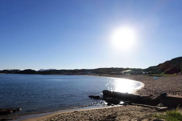
Keya Beach
4.2
(379)
Open until 12:00 AM
Click for details

Keya Beach
4.2
(20)
Open 24 hours
Click for details
Things to do nearby
Discover Fukuokas hidden nightlife
Tue, Jan 13 • 7:00 PM
810-0001, Fukuoka, Fukuoka, Japan
View details
Mysterious Temples of Hakata
Mon, Jan 12 • 10:00 AM
812-0039, Fukuoka, Fukuoka, Japan
View details

Candlelight: 時代を超えて愛されるクラシック名曲集
Mon, Jan 12 • 2:30 PM
福岡県福岡市西区小戸2-10-61, 〒819-0001
View details
Nearby restaurants of Tateishisan
海の家白浜家(しらはまや)|芥屋海水浴場 糸島バーベキュー
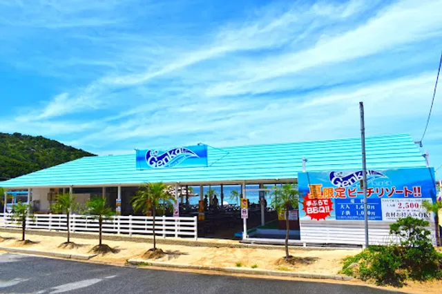
Beach Cafe Granmare ビーチカフェ グランマーレ
ビーチクラブ シラハマヤ | 芥屋海水浴場
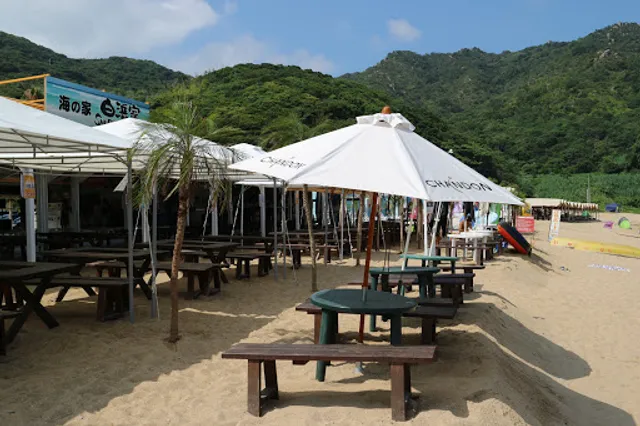
海の家白浜家(しらはまや)|芥屋海水浴場 糸島バーベキュー
4.1
(96)
$$
Closed
Click for details

Beach Cafe Granmare ビーチカフェ グランマーレ
4.4
(90)
Closed
Click for details
ビーチクラブ シラハマヤ | 芥屋海水浴場
3.8
(18)
Closed
Click for details