Oyama Prospect Park things to do, attractions, restaurants, events info and trip planning
Basic Info
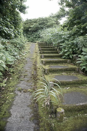
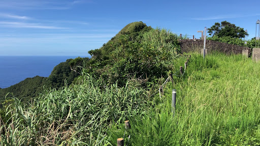
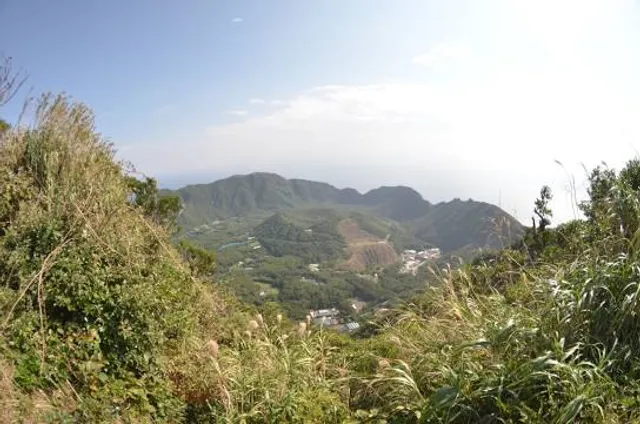
Oyama Prospect Park
Aogashima, Tokyo 100-1701, Japan
4.6(47)
Open until 12:00 AM
Save
spot
spot
Ratings & Description
Info
Outdoor
Scenic
Relaxation
Family friendly
attractions: Monument to resettlement, restaurants: , local businesses: Aogashima, Aogashima Heliport
Phone
+81 4996-9-0111
Website
vill.aogashima.tokyo.jp
Open hoursSee all hours
SatOpen 24 hoursOpen
Plan your stay

Pet-friendly Hotels in Tokyo
Find a cozy hotel nearby and make it a full experience.

Affordable Hotels in Tokyo
Find a cozy hotel nearby and make it a full experience.

The Coolest Hotels You Haven't Heard Of (Yet)
Find a cozy hotel nearby and make it a full experience.

Trending Stays Worth the Hype in Tokyo
Find a cozy hotel nearby and make it a full experience.
Reviews
Nearby attractions of Oyama Prospect Park
Monument to resettlement
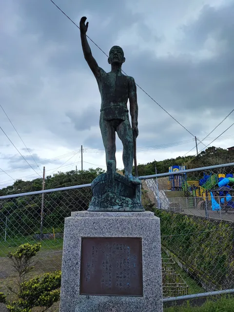
Monument to resettlement
4.3
(11)
Open until 12:00 AM
Click for details
Nearby local services of Oyama Prospect Park
Aogashima
Aogashima Heliport

Aogashima
4.6
(117)
Click for details

Aogashima Heliport
4.2
(19)
Click for details