Al-Siq things to do, attractions, restaurants, events info and trip planning
Basic Info
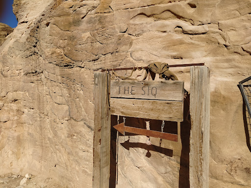
Al-Siq
8FF4+5FW, Wadi Musa, Jordan
4.8(910)
Open 24 hours

tickets
Save
spot
spot
Ratings & Description
Info
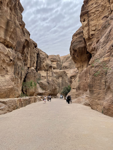
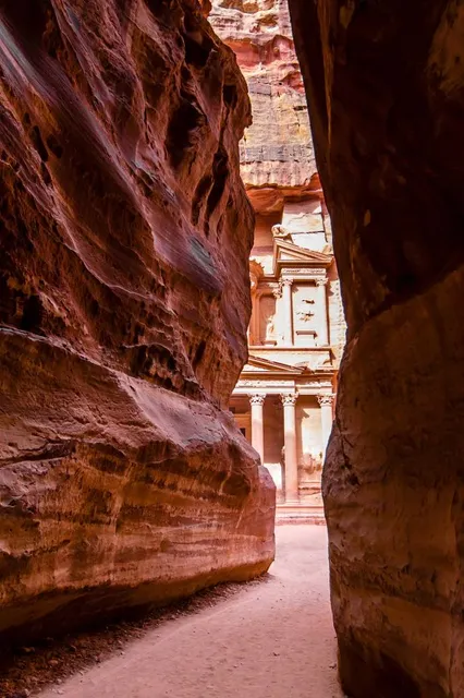
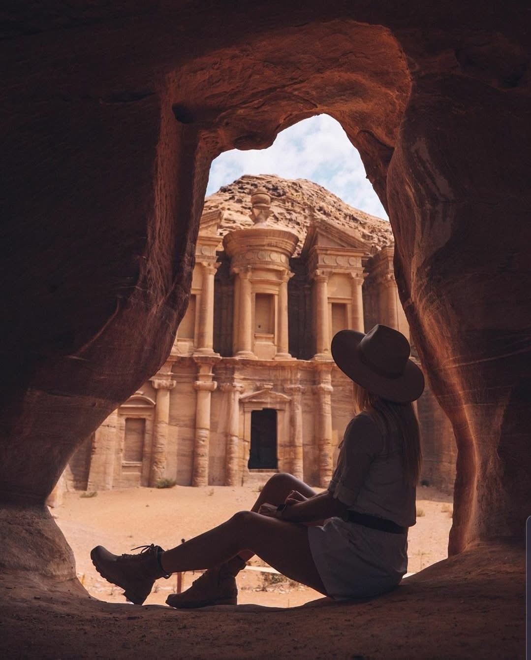
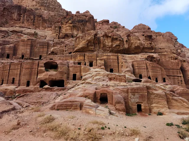
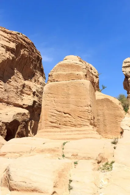
The Siq is the main entrance to the ancient Nabatean city of Petra in southern Jordan. Also known as Siqit, it is a dim, narrow gorge and winds its way approximately 1.2 kilometres and ends at Petra's most elaborate ruin, Al Khazneh. A wide valley outside leading to the Siq is known as the Bab as-Sīq.
Outdoor
Adventure
Scenic
Family friendly
attractions: The Treasury, Obelisk Tomb & Bab as-Siq Triclinium., Tomb of 'Unayshu, Djinn Blocks, Nabatean Theatre, Urn Tomb, Royal Tombs, Palace Tomb, Silk Tomb, High Place of Sacrifice, restaurants: , local businesses:
Phone
+962 3 215 7093
Website
visitpetra.jo
Plan your stay

Pet-friendly Hotels in Maan
Find a cozy hotel nearby and make it a full experience.

Affordable Hotels in Maan
Find a cozy hotel nearby and make it a full experience.

The Coolest Hotels You Haven't Heard Of (Yet)
Find a cozy hotel nearby and make it a full experience.

Trending Stays Worth the Hype in Maan
Find a cozy hotel nearby and make it a full experience.
Reviews
Live events
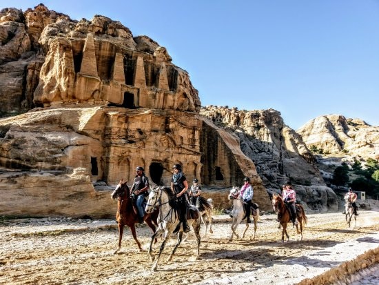
Explore Petra like Indiana Jones on a horseback
Thu, Feb 26 • 8:30 AM
Wadi Musa, Ma'an Governorate , Jordan
View details
Hike through Petras hidden back trail
Mon, Feb 23 • 11:15 AM
Wadi Musa, Ma'an Governorate 00962, Jordan
View details
Traditional Jordanian meals & warm hospitality
Mon, Feb 23 • 2:00 PM
Wadi Musa, Ma'an Governorate, Jordan
View details
Nearby attractions of Al-Siq
The Treasury
Obelisk Tomb & Bab as-Siq Triclinium.
Tomb of 'Unayshu
Djinn Blocks
Nabatean Theatre
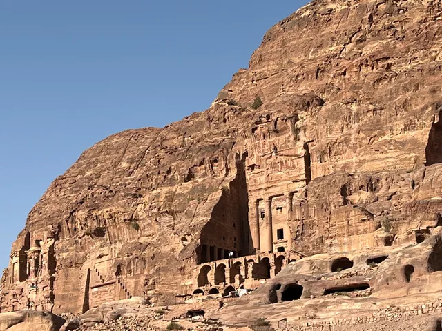
Urn Tomb
Royal Tombs
Palace Tomb
Silk Tomb
High Place of Sacrifice
The Treasury
4.8
(5.2K)
Open until 5:30 PM
Click for details
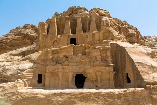
Obelisk Tomb & Bab as-Siq Triclinium.
4.8
(224)
Open 24 hours
Click for details
Tomb of 'Unayshu
4.7
(81)
Open 24 hours
Click for details
Djinn Blocks
4.6
(103)
Open 24 hours
Click for details